Departure for Roncesvalles by the winter road or rainy spring
DIDIER HEUMANN, ANDREAS PAPASAVVAS
We divided the course into several sections to make it easier to see. For each section, the maps show the course, the slopes found on the course, and the state of the Camino. The courses were drawn on the “Wikilocs” platform. Today, it is no longer necessary to walk around with detailed maps in your pocket or bag. If you have a mobile phone or tablet, you can easily follow routes live.
For this stage, here is the link:
https://fr.wikiloc.com/itineraires-randonnee/de-st-jean-pied-de-port-a-roncevaux-par-le-chemin-dhiver-36600295
It is obviously not the case for all pilgrims to be comfortable with reading GPS and routes on a laptop, and there are still many places in Europe without an Internet connection. Therefore, you will find a book on Amazon that deals with this course. Click on the title of the book to open Amazon.
If you only want to consult lodging of the stage, go directly to the bottom of the page.
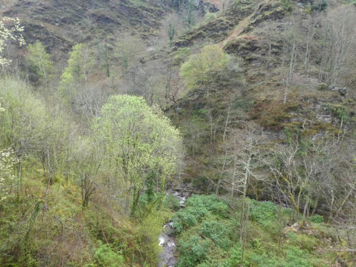
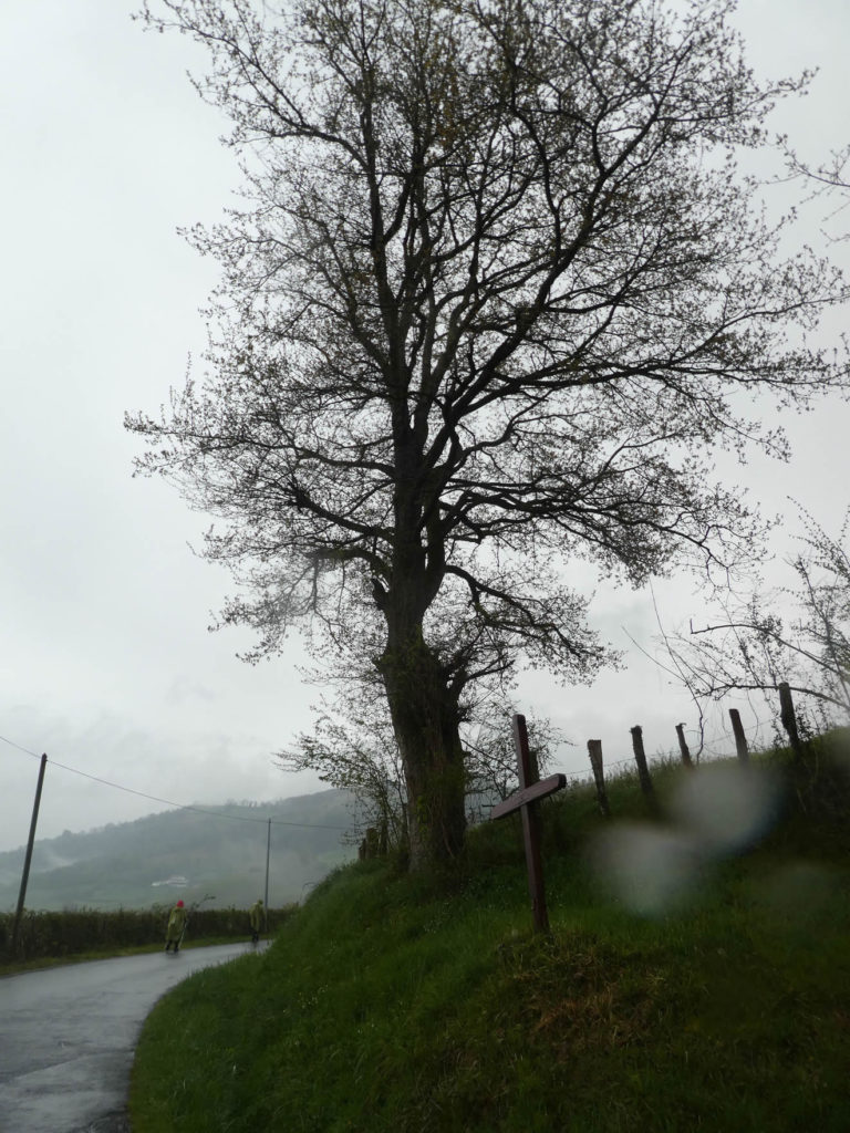
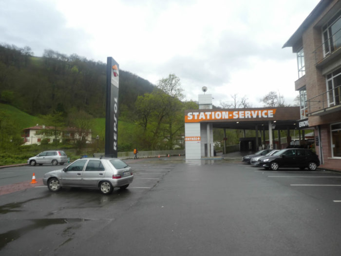
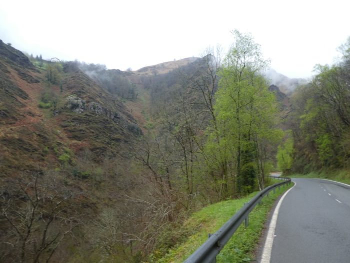
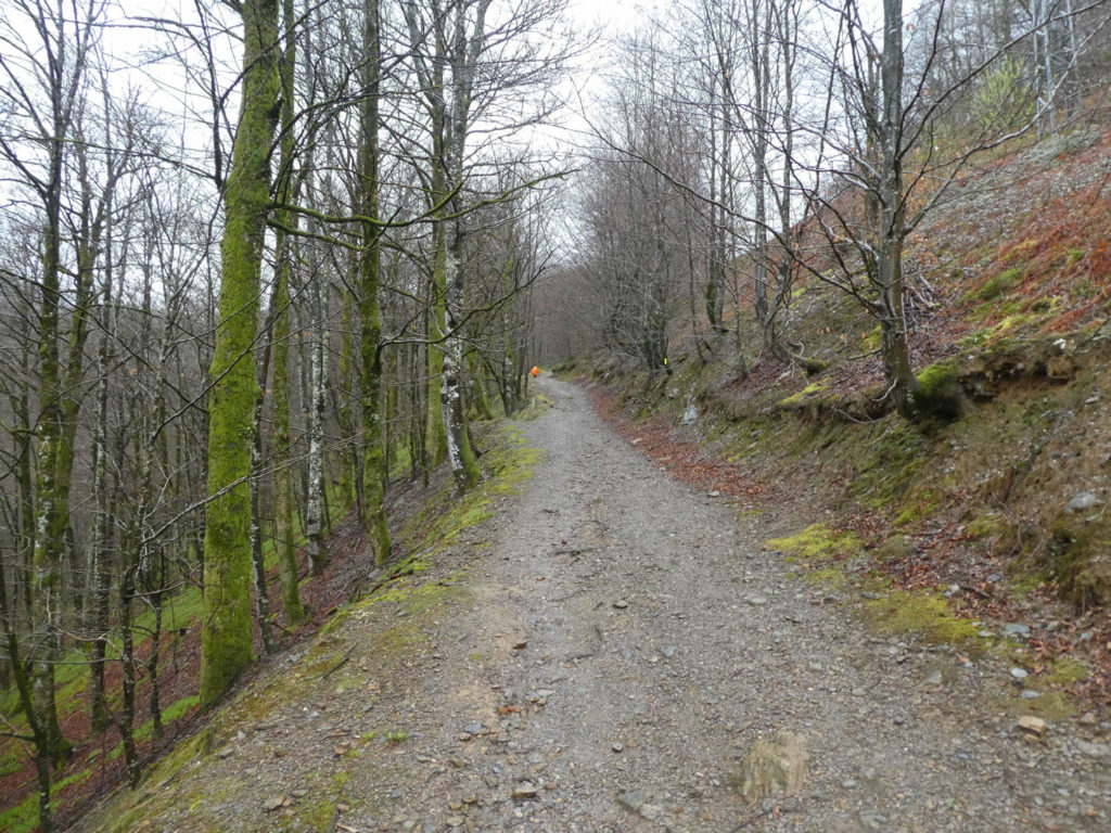
This morning, the rain falls on St Jean-Pied-de-Port. We are at the beginning of spring, at the end of March. To change a little, we will describe the Camino francés in spring, when Spain is still green, alive. This will change the usual views of the track in season, when everything is burned, when the heat wave slows down the pace and severely affects the bodies of walkers under their hats, often derisory.
The weather forecast announces a difficult day with rain, snow and cold on the Pyrenees Mountains. The night before, discussions were quite busy in the restaurants of the village. Could we pass the Bentarte Pass and the Leopeder Pass all up there on the mountain? Because of course, for any good pilgrim, you have to go up there. The books they read, the old pilgrims they frequented, and of course the Internet have told so much about this stage, that many pilgrims imagine they have done it many times, at least in their minds. But, here, this morning is just cold shower. At the Tourist Office, it is announced that the track is closed from Orisson refuge, towards the pass. There is abundant fog and 15 centimeters of snow at 1’500 meters altitude. Do you think this kind of announcement discourages pilgrims? The majority, yes. Because the discussions were also very busy among the pilgrims the day before about the risks. They have learned that the rescue now is paid off, especially with the use of the helicopter. They have also heard the many incidents that have enameled the course, with many injured, also deaths by hypothermia for some intrepid people lost in the cold, on the way. Some pilgrims will go anyway. But, the others will take the winter track, which climbs up less, less prestigious. But, tonight, they will arrive anyway to Roncesvalles, too. Alas, this way is still long the road of the pass.
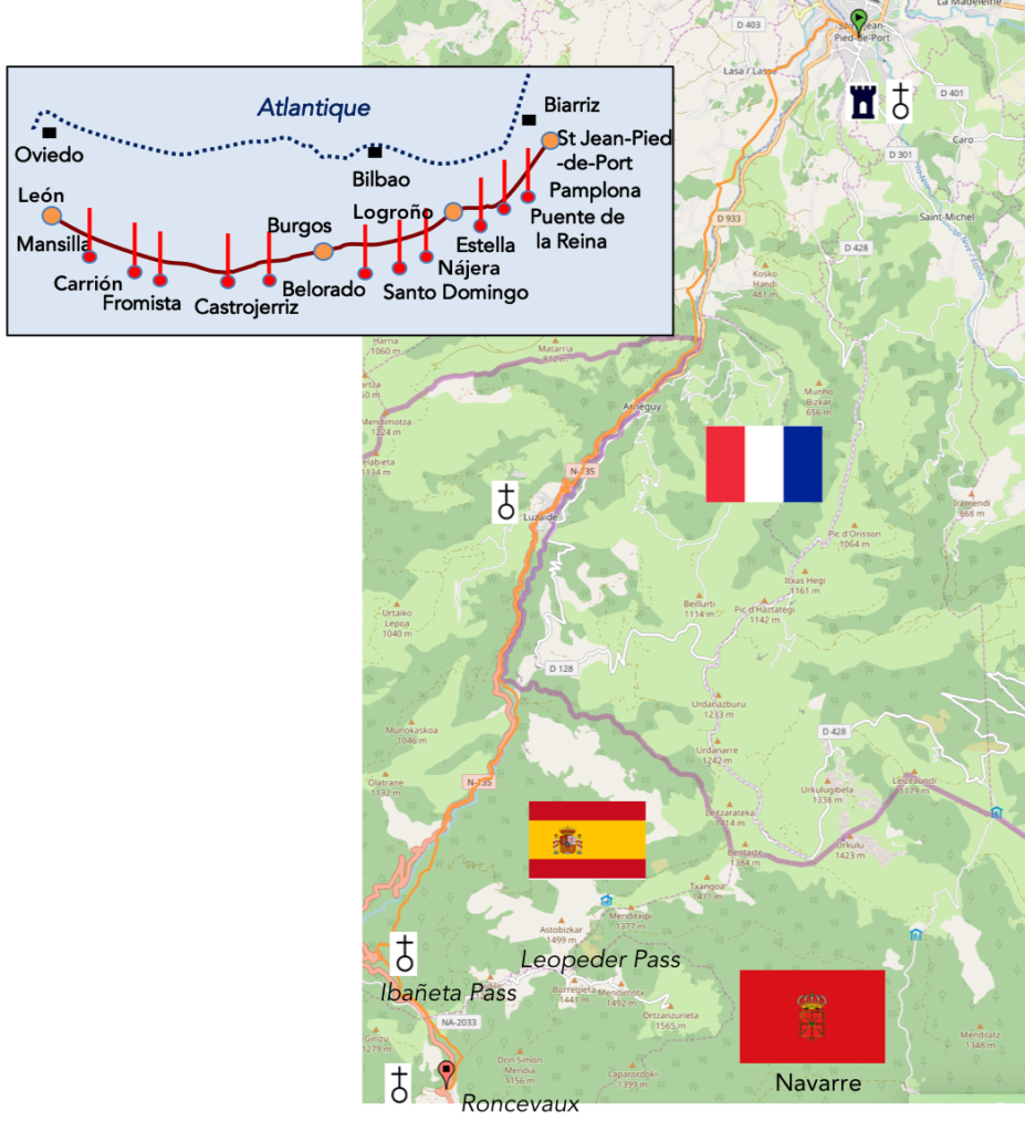
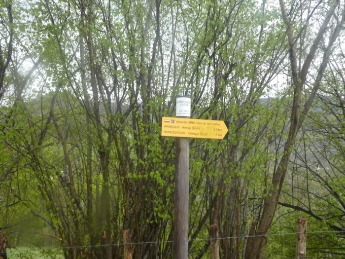
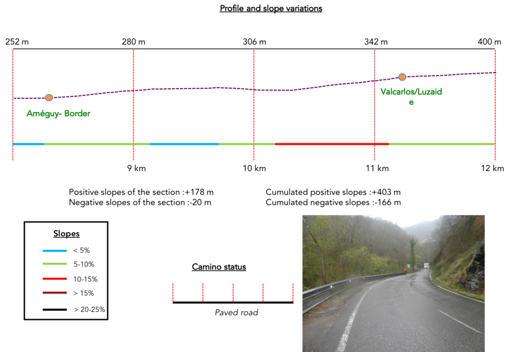
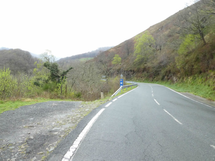
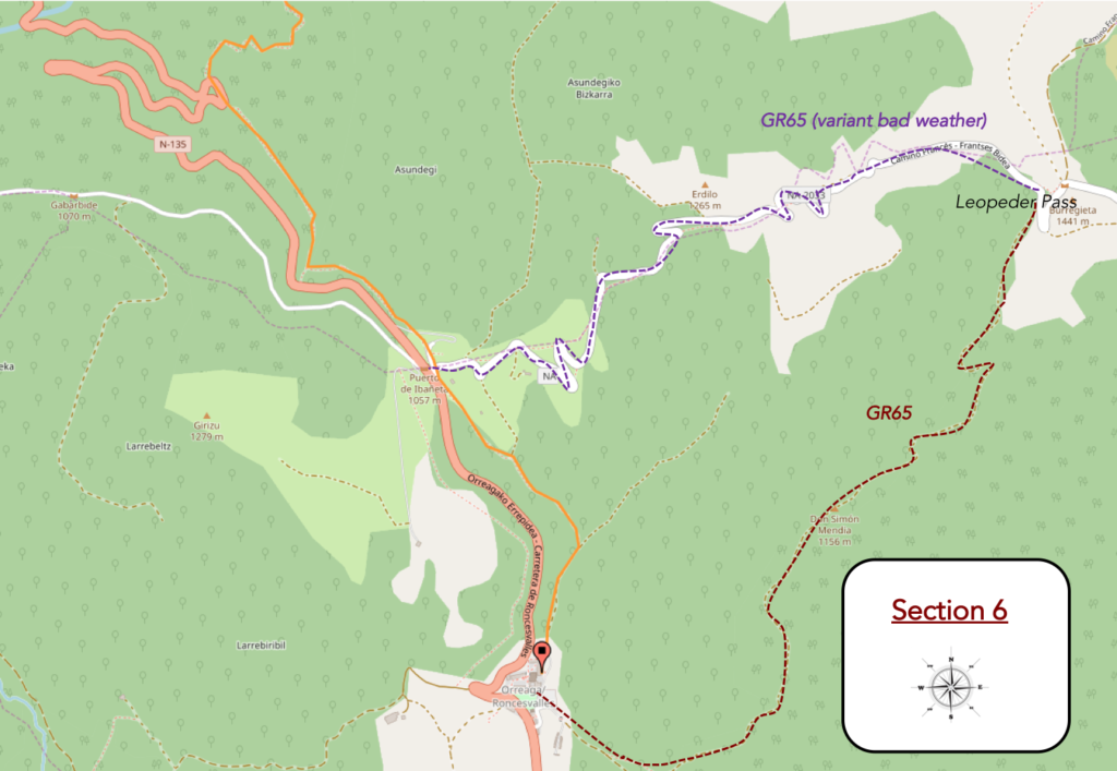
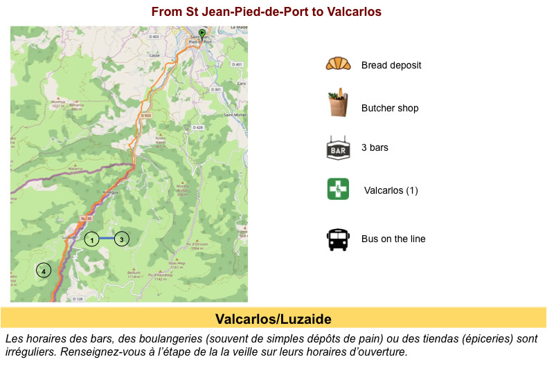
Here are two possible ways to reach Roncevaux (Roncesvalles, Orreaga, for other names).Today we’ll follow the variant of Valcarlos.

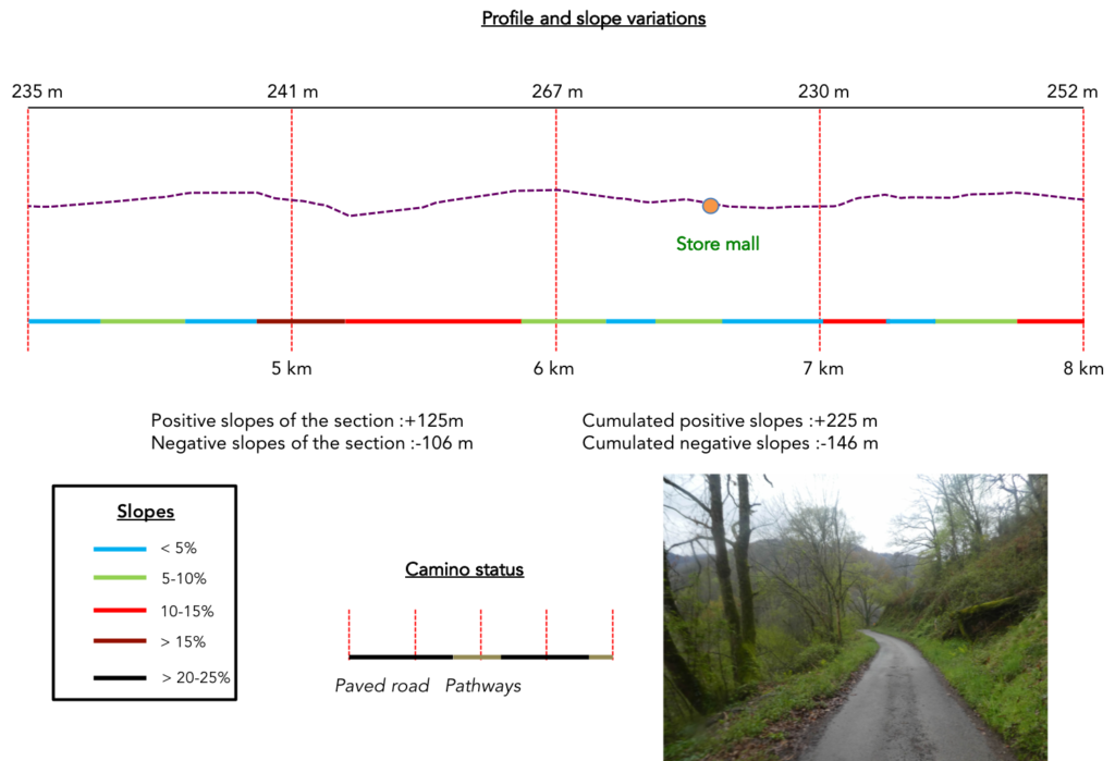
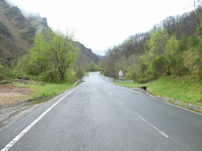
Difficulty of the course: Do not think that if the stage is softer, that it is easy. Slope variations (+1147 meters /-387 meters) are important. The first part to Valcarlos is not too difficult, but the road runs up and down all the time, sometimes on fairly steep slopes. But beyond Valcarlos, the path is difficult, as difficult as if you had followed the summer track. There is still a pass to cross, even if the Ibañeta Pass is not Leopeder Pass. And if you go through here in a rainy spring, you will be refrigerated. Once at the pass, downhill to Roncesvalles is easy, which is not the case of the descent from the Leopeder Pass.
In this stage, you’ll walk mostly on the paved road:
- Paved roads: 16.1 km
- Pathways: 6.9 km
We made it all the way to León in one go, in a cold, rainy spring. From then on, many stages were made on soggy ground, most often in sticky mud.
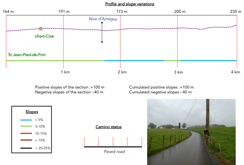
It is very difficult to specify with certainty the incline of the slopes, whatever the system you use.
For “real slopes”, reread the mileage manual on the home page.

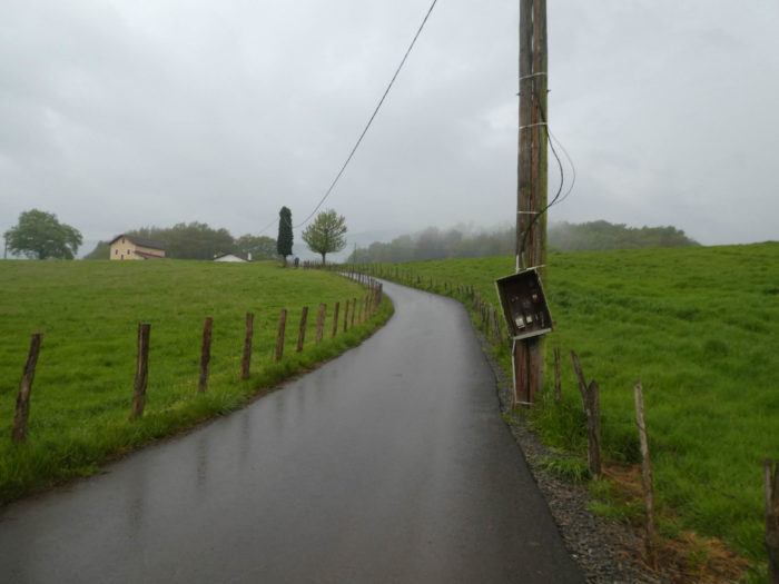
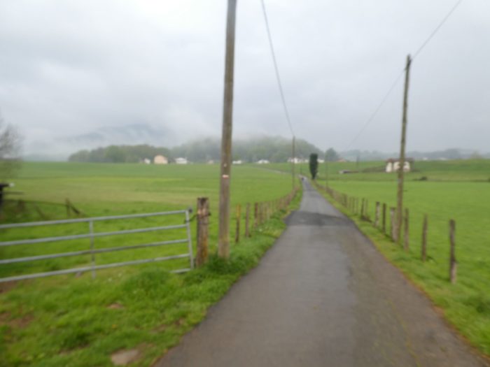
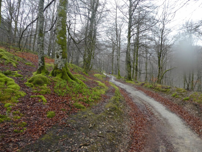
Section 1: At first it’s easy along the paved roads in the valley.
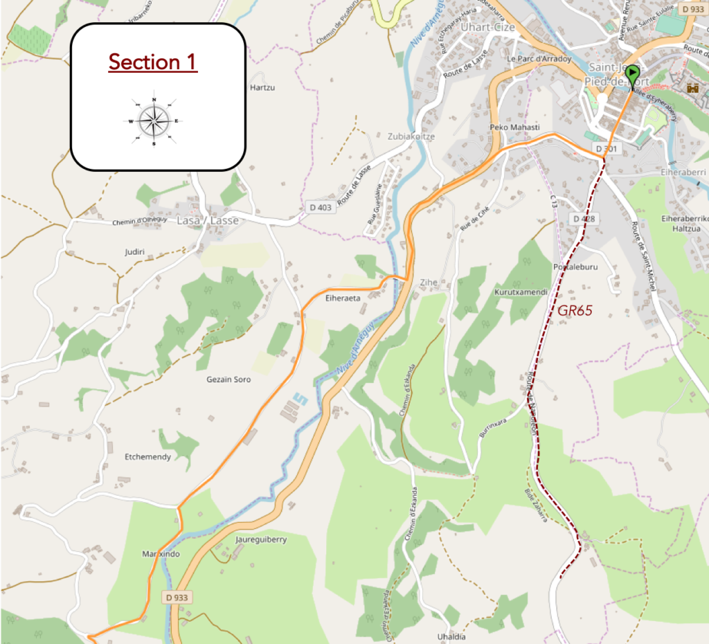
Overview of the difficulties of the route: course without great difficulty, with however some marked slopes.
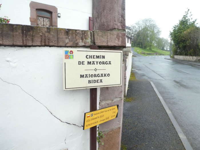
| Initially, GR path and the winter track are common. It is necessary to slope up above the village, to pass the door of Spain, towards a part of the fortifications, at the level of the big carparks. |
 |
 |
| But, quickly the two tracks diverge. While GR path continues to climb towards Route Napoléon, the winter track heads right on Mayorga Road. |
 |
 |
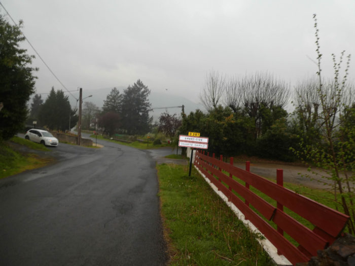
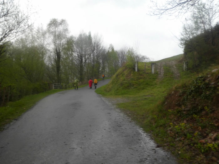
| Further ahead, the road crosses Uhart-Cize village. It is raining already, but heavy clouds are not good news. |
 |
 |
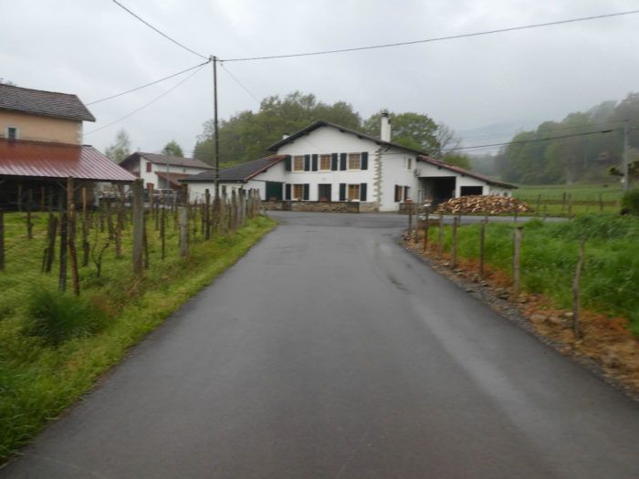
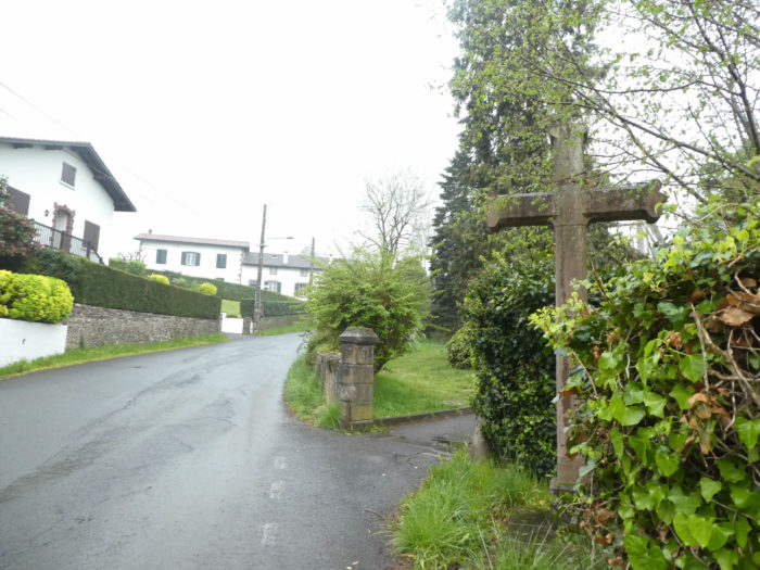
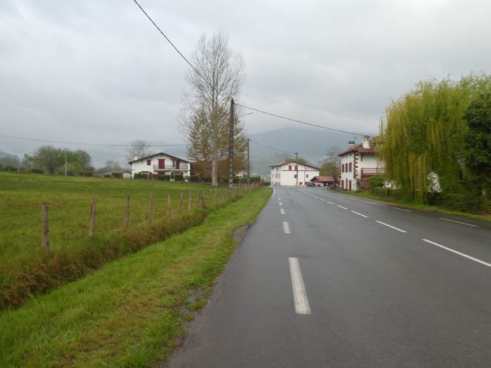
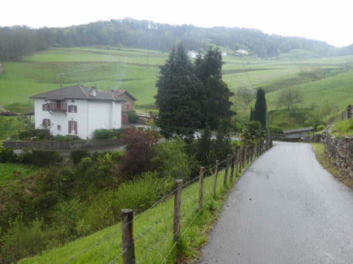
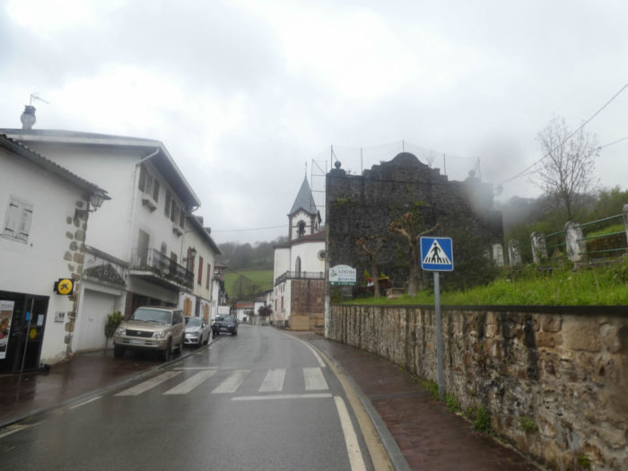
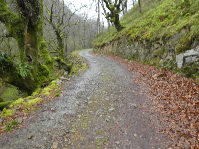
| The Camino, it will be called from now on, crosses a part of the village, joins the main road, the D933, the road of the pass. In the village, you’ll recognize the typical Basque houses, white with windows and red paneling. |
 |
 |
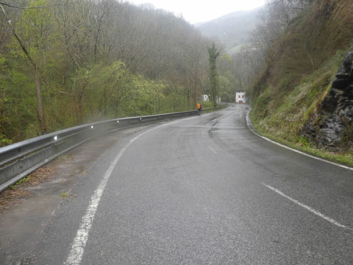
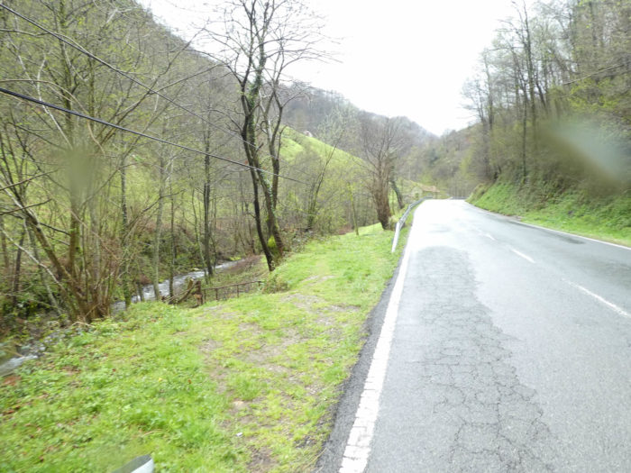
| The Camino then follows a little the road on the strip of grass, down in a small dale. The passage from France to Spain here is not very busy, but there is still traffic, even in spring. |
 |
 |
| Then, it leaves the road to slope down and cross the Nive d’Arneguy, the stream that flows in the valley of the pass, a tributary of the Nive River which flows in St Jean-Pied-de-Port. |
 |
 |
| Then, beyond the bridge, it climbs back to the meadows. Here, we do not advise you to put your fingers in the socket. |
 |
 |
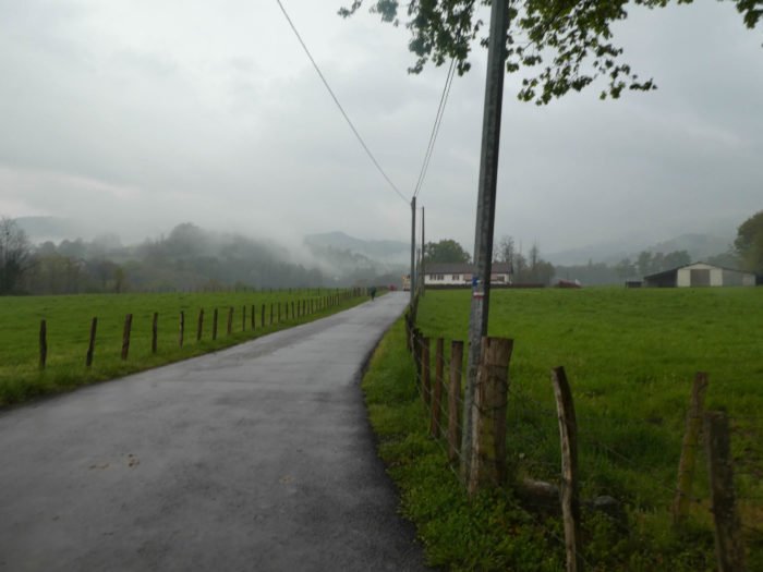
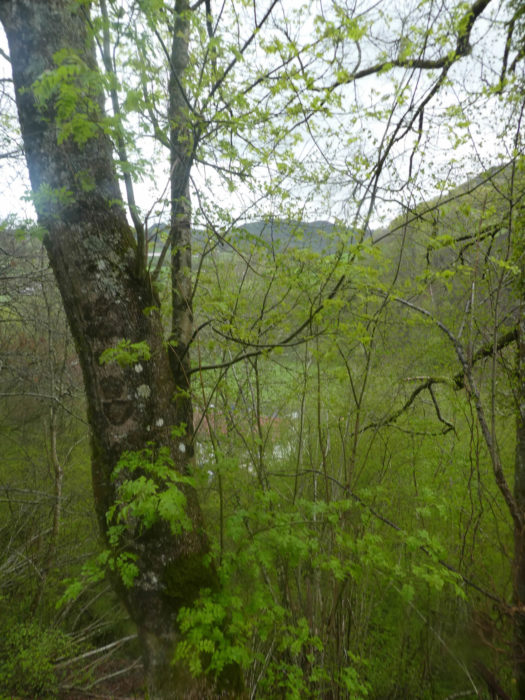
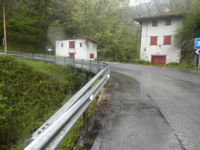
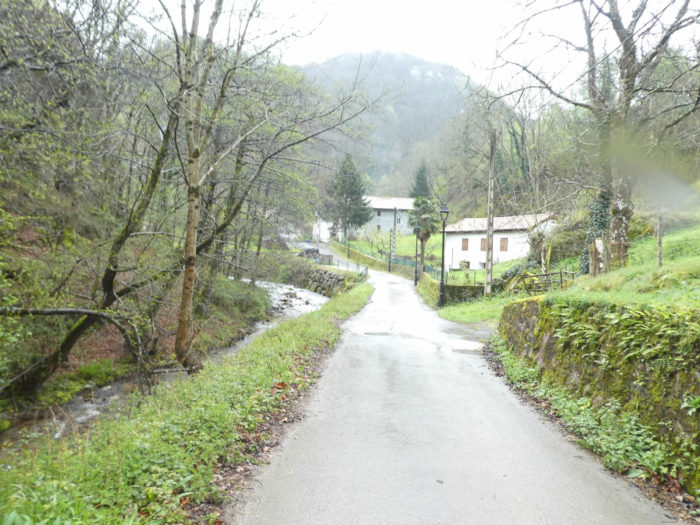
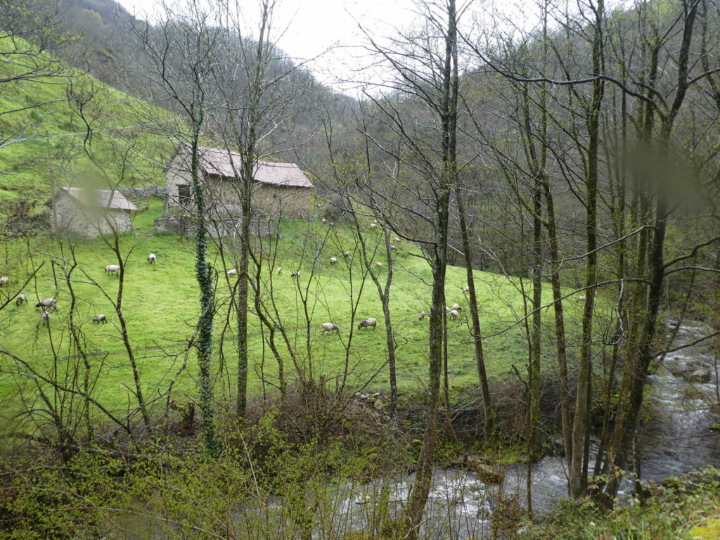
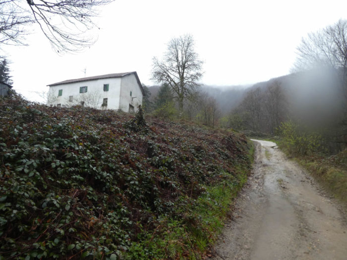
| Here, the Camino finds another road that flattens to Lasa/Lasse village. In the region, in bad weather, the fog always creeps with mischief, dragging along with pleasure along the valley. The sheep under the oaks are also worried about the weather. But, even more so, the pilgrims squeezed under their raincoats, parkas or pelerines. Here, to take a look at the building below, they do not breed only sheep. |
 |
 |
| The small road then ripples a little in the meadows, under the oaks, the beeches and the immense chestnut trees. Now it’s pouring heavy rain. |
 |
 |
| Shortly after, the road slopes down a while… |
 |
 |
| … until you’ll reach an intersection, where the road still climbs up to the village of Lasse, but the Camino keeps on sloping down to the river. |
 |
 |
Section 2: Small strolls over the Pass road.
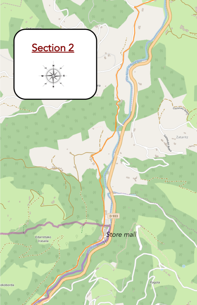
Overview of the difficulties of the route: ripples often light, but sometimes much more marked, as much upwards than downhill.
| In the pouring rain, the pilgrims curl up under their cloaks, slope down without a word on the road flowing with water, not far from the river. In these climatic conditions, today, the majority of pilgrims wear big plastic capes, which remains the best way to keep the clothes dry, including the walker. But some hate this equipment, and are happy with their Gortex jackets and the waterproof protection of their bag. But even with the Gortex, it is illusory to stay completely dry. Regardless, the clothes inside the bag will stay mostly dry. |
|
 |
| Then, the road cannot decide clearly for the descent. So, it even climbs up again a little under beeches, oaks and chestnut trees. |
 |
 |
| It heads to a place known as Carricaburi, 2.5 kilometres to the border |
 |
 |
| Shortly after, the small road will slope down without stopping towards the bottom of the dale. |
 |
 |
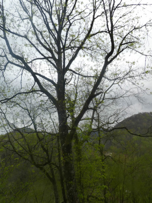
| In this region, two species clearly dominate. Chestnut trees and beeches can reach incredible heights, and the trunks are huge. Oaks are more discreet, and conifers much rarer. |
 |
 |
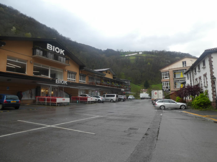
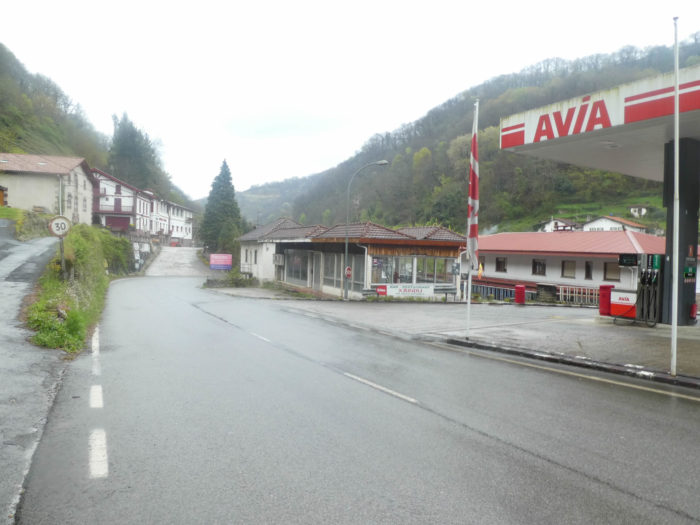
| At the bottom of the dale, the road passes near a large destocking area of major brands. You are still in France, but the border is two steps away. However, to see the car license plates, it is mostly French people here. Spanish people must first cross the pass, and few Spanish villages are present before Pamplona. |
 |
 |
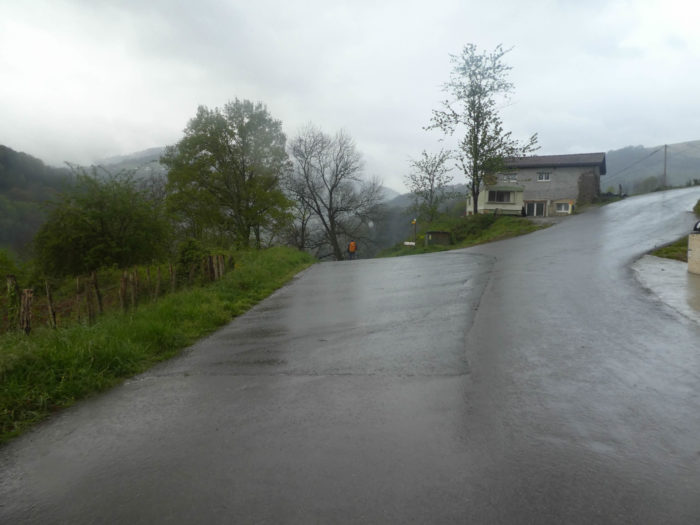
| At the end of the mall, near a petrol station, the Camino does not head on the road of the pass, but smoothens on a small parallel road, in the luxuriant vegetation. Here, the rain calms a little, but it’s still cold, less than 5 degrees. |
 |
 |
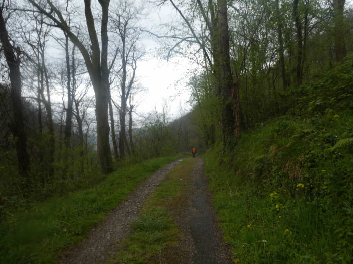
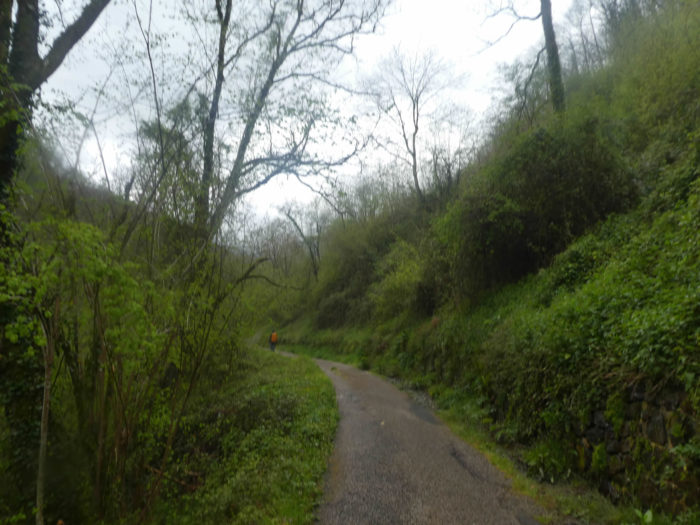
| Further afield, a dirt road takes over the paved road. With all the rain that must have fallen here in early spring, you understand the excess of chlorophyll that haunts these places. However, the trees have not yet recovered their foliage. |
 |
 |
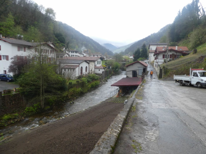
| Shortly after, Arnéguy appears in the valley bottleneck. With such a tightening, it was easy to define a boundary, right? |
 |
 |
Section 3: On the road of the pass.
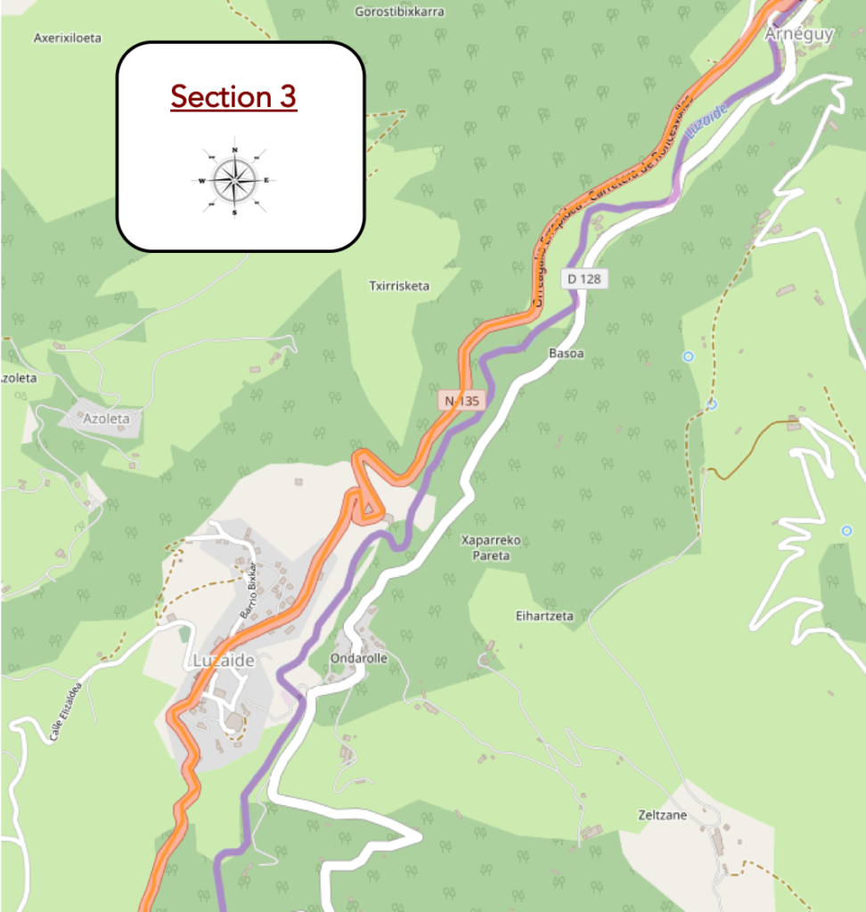
General overview of the difficulties of the route: climbing all the time, but on a fairly regular slope, rarely marked. Anyway, nearly 175 meters of positive sloping over 4 kilometres..
| The road arrives at Arnéguy, on the border. There is nothing here that marks the border, except the cell phone that crackles to announce the good news that you’ll change operator. |
 |
 |
| Formerly, the course passed on the other side of the river, which is no longer called Nive d’Arnéguy, but Luzaide brook here. Now the Camino follows the pass road. A German pilgrim stops a native, gesturing indicating a direction, with these words: “Der Camino, hier oder nicht?” The brave gentleman does not understand a word. “The way here or not?”, It is better to know a few words in all the languages on the way. The Camino then enters Navarre, with Pamplona as capital. |
 |
 |
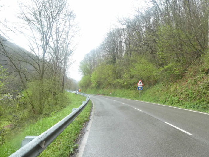
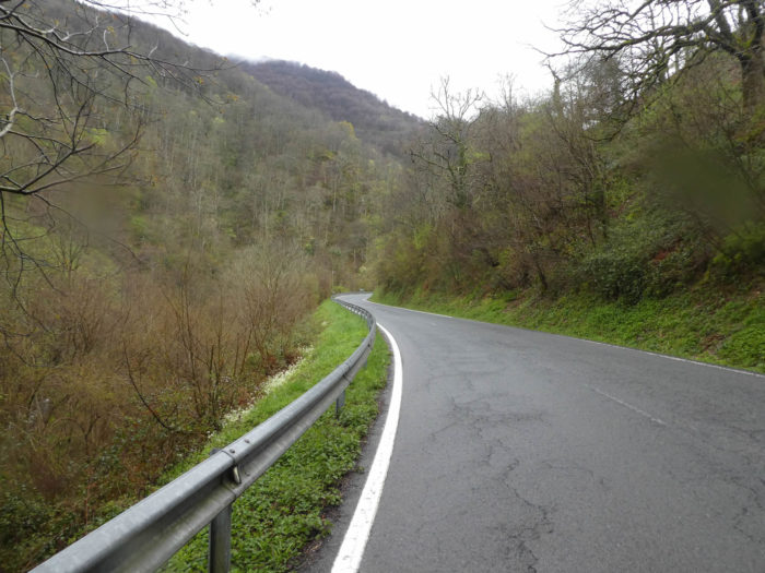
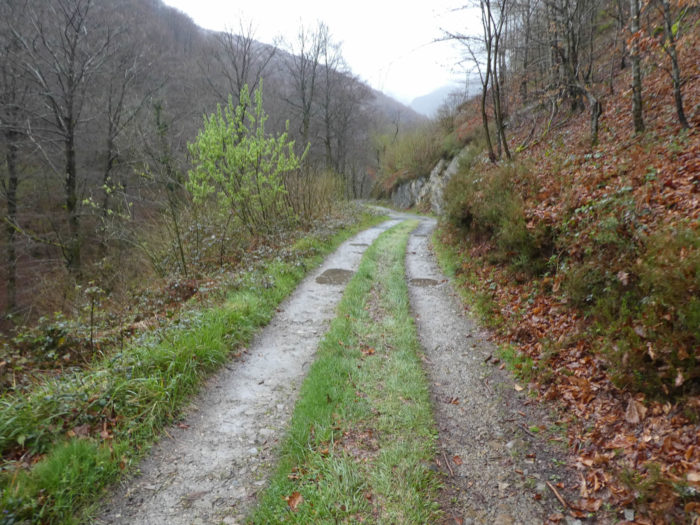
| The name of the road has also changed. From departmental in France, it is now promoted to national rank in Spain, the N-135. The road climbs continuously, on a slight slope, under the chestnut trees. Here, signs encourage motorists to lower speed because of the pilgrims. |
 |
 |
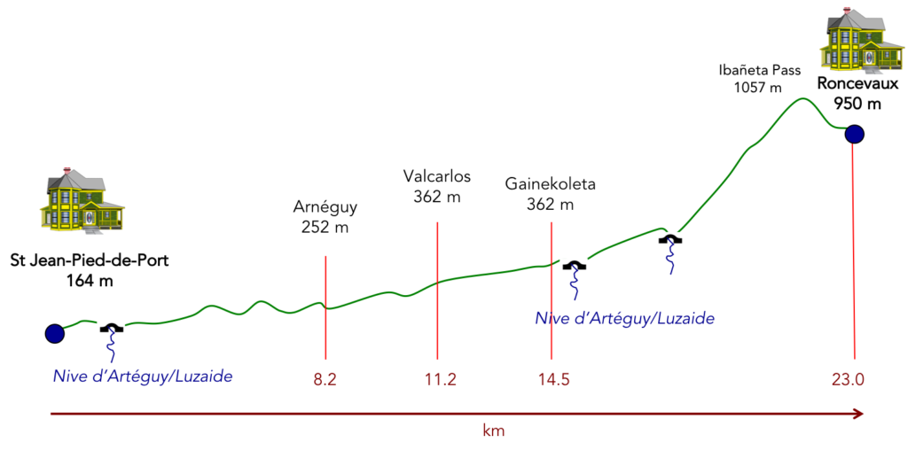
It is still more than 3 kilometres climb from Arnéguy to Valcarlos, with more than 100 meters difference in altitude. You will then be 300 meters above St Jean-Pied-de-Port level.
|
 |
 |
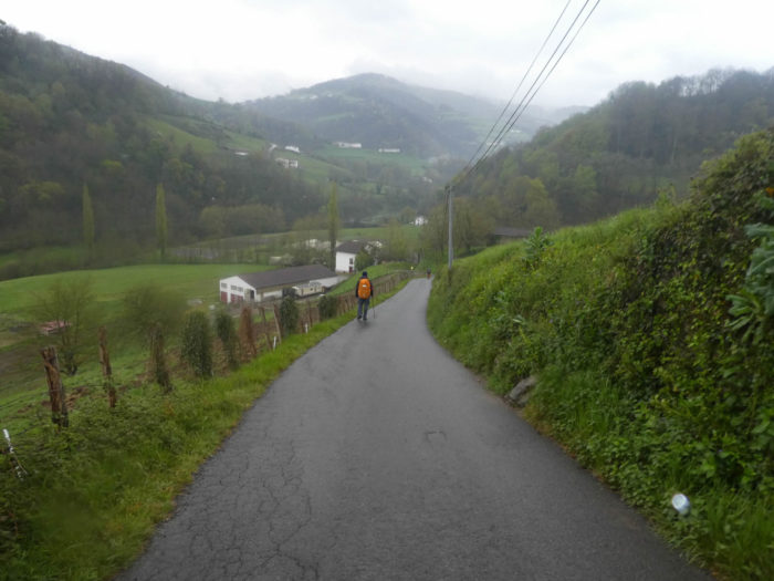
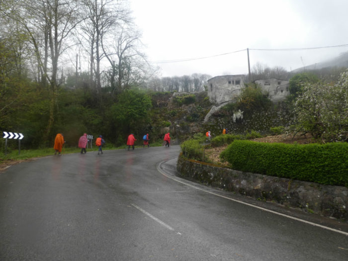
| At the approach of the village, a big bus must make manoeuvres to overtake the Korean army crusade. These people are not bellicose. They are growing in number on the way. By 2018, there were more than 5,000 on the way, this year probably even more. Today they belong to the leading pack with nearly 2% of the pilgrims, according to Santiago statistics. It may not seem like much, but on the Santiago track, it’s as if they had given themselves the word to start all at St Jean-Pied-de-Port. Let’s explain, but for that, you need a little bit of statistics. In 2018, 375,000 pilgrims arrived in Santiago, and only 10% left St Jean-Pied-de-Port, or 37,000 pilgrims. So, if all Koreans leave St Jean-Pied de Port, they now represent neither 2% but more than 15%. And this figure could be more and more real, so many they are on the track. |
 |
 |
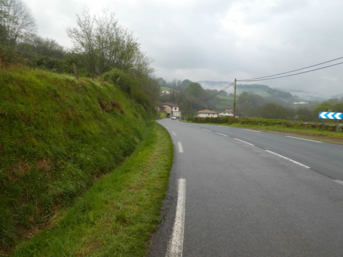
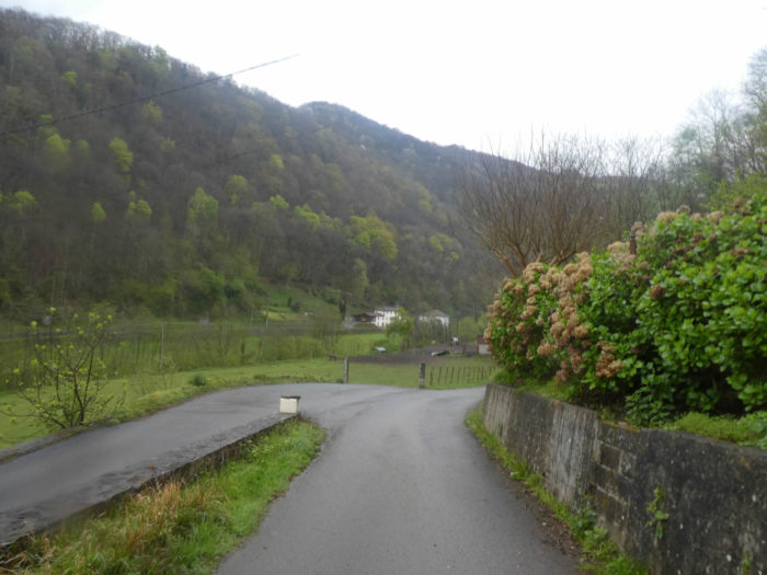
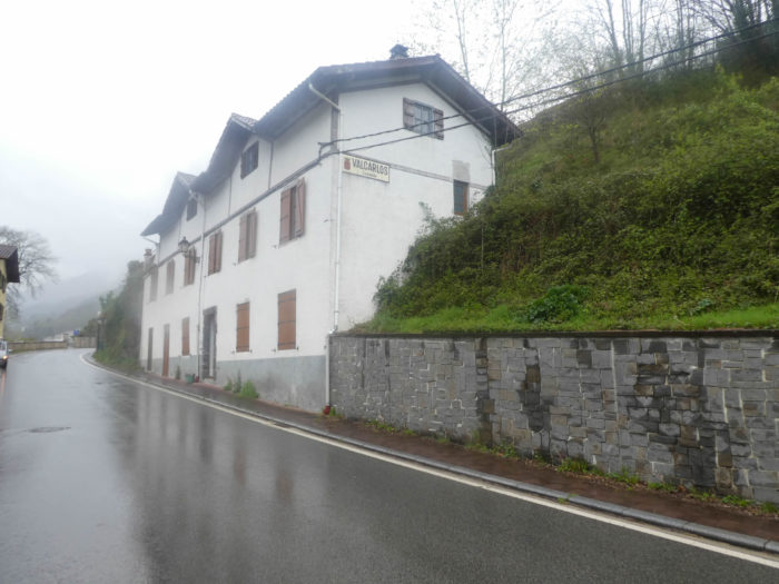
| Two turns higher, the road arrives to Valcarlos/Luizade, a village spread on the road, rich in « albergue » and restaurants. As the rain has started again, needless to say, the restaurants are crowded with pilgrims. |
 |
 |
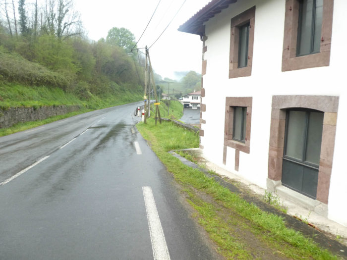
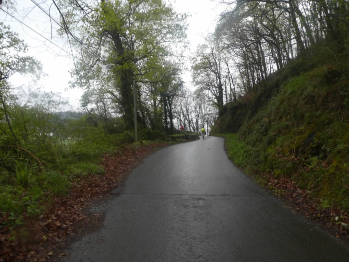
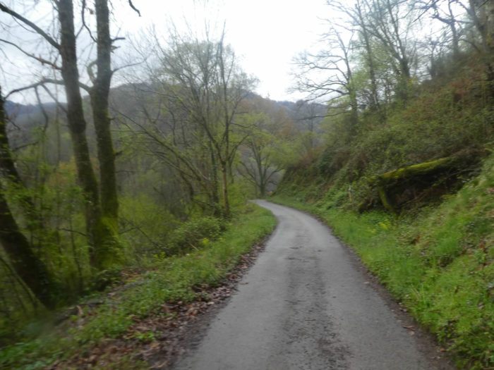
| Upon leaving the village, you’ll walk again on the road under beeches and chestnut trees. |
 |
 |
Section 4: A small detour below the river before joining the pass road again.
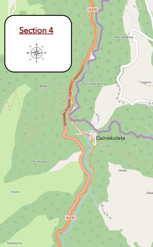
Overview of the difficulties of the route: course without problem to Gainekoleta. After that, really tougher.

| A few more bends in the wild, where the moss and heath spread under beeches and chestnut trees, and the road crosses the Chapitel brook … |
 |
 |
| … and the Camino decides to leave the paved road of the pass to take a small road which slopes downwards to a hamlet at the edge of the river. |
 |
 |
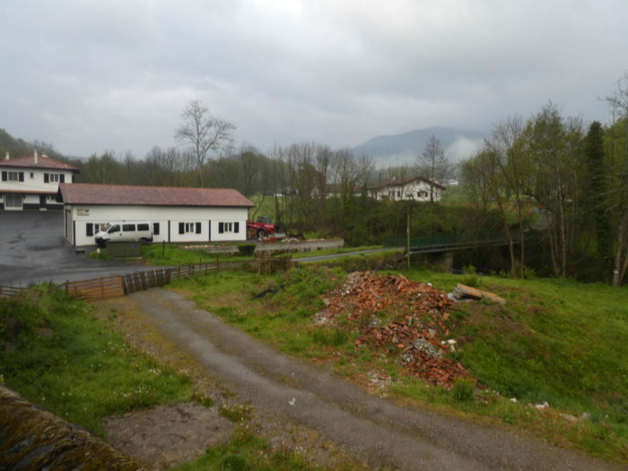
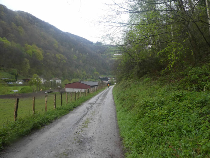
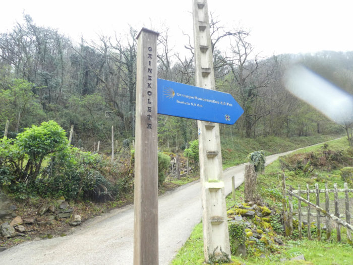
| The road heads down to find the hamlet of Gainekoleta by the river. |
 |
 |
| But, what do they live by in a place so lost, encased in the mountain? Here, the Camino crosses the river. You are about 7 kilometres to Ibañeta Pass, which rises to 1057 meters above sea level. It will be necessary to cross once the Pyrenees Mountains, right? |
 |
 |
| Here, a narrow lane runs along the right bank of the river, under the skeletal beeches and chestnut trees. The higher you walk, the more chestnuts lose in size. |
 |
 |
| Further up, the pathway runs back to the other side of the river. In this sunken valley, which rarely sees the light, moss creeps everywhere. |
 |
 |
| In Spain, signs always announce a road ahead. Here the effort is being sustained on slippery stairs today to join the pass road above. |
 |
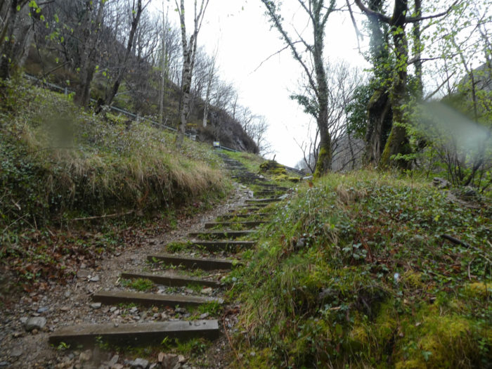 |
| You thus reach again the paved road of the pass. |
 |
 |
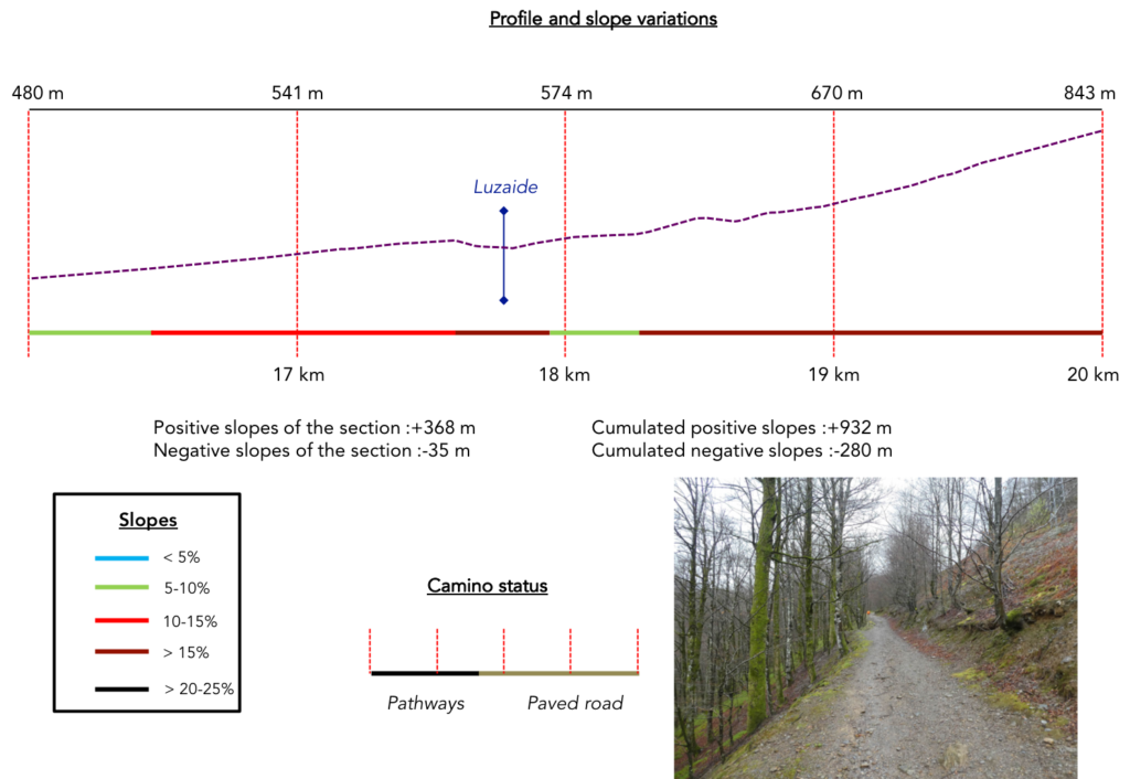
Section 5: Still a little on the road before finding a pathway on a tough climb.
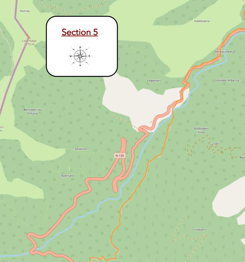
Overview of the difficulties of the route: the sporting part of the stage, at almost 15% -20% of slope.
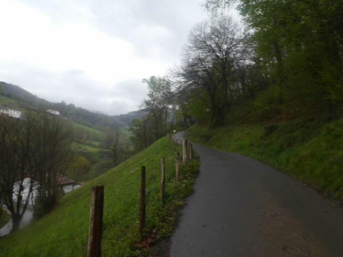
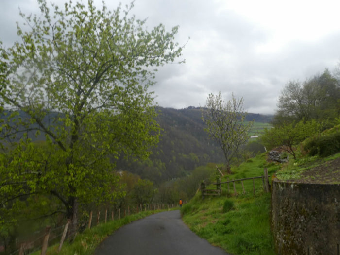
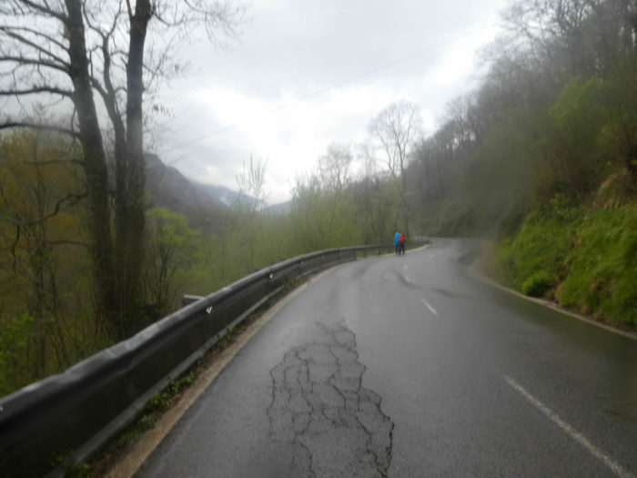
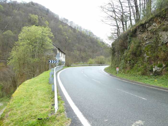
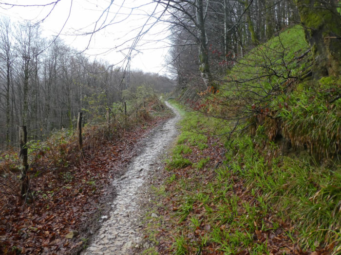
| In spring, traffic is not heavy on the axis. There are more people in tourist season. But here, in principle, you will not choose this route, except in bad weather, or if, for lack of physical training, you do not feel able to face the other route, much more demanding. |
 |
 |
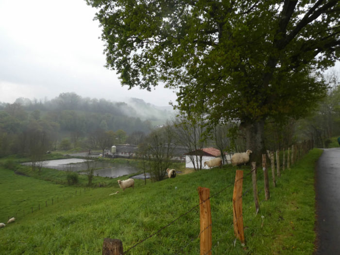
In the meadows, you’ll perhaps encounter Black-headed Manech, these beautiful sheep present in the Basque country of France and Spain.
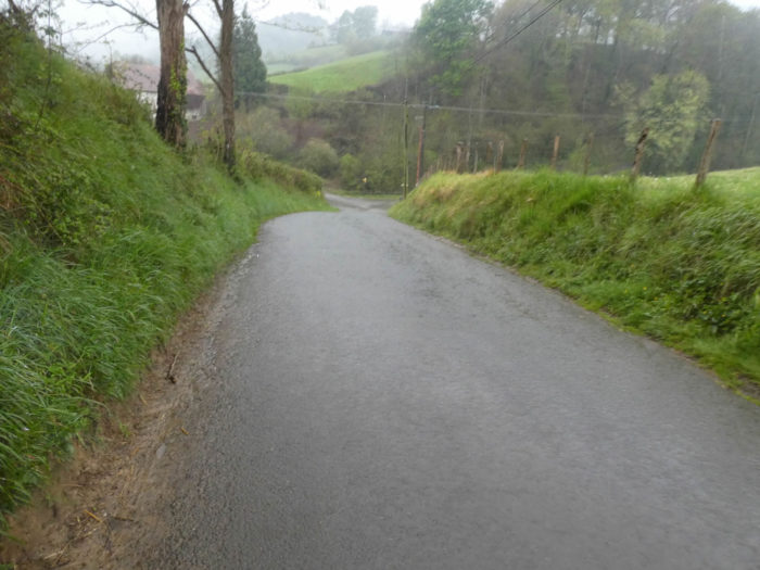
| The landscape hardly changes on the road that climbs with quite a reasonable slope, above the river. The road makes frequent turns, anyway it is a pass road. |
 |
 |
| Another last turn on the road of the pass, and your route will change drastically. The effort, too. You’ll take more than 300 meters of altitude in a short time. |
 |
 |
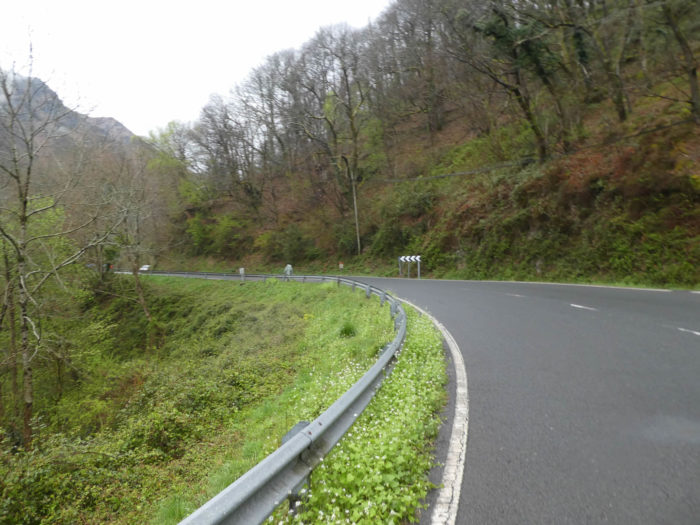
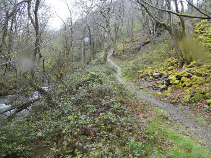
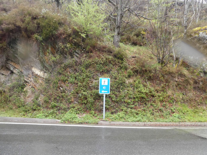
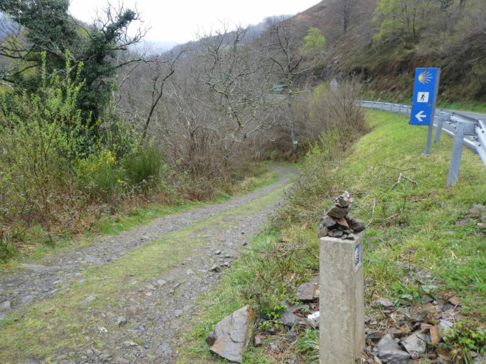
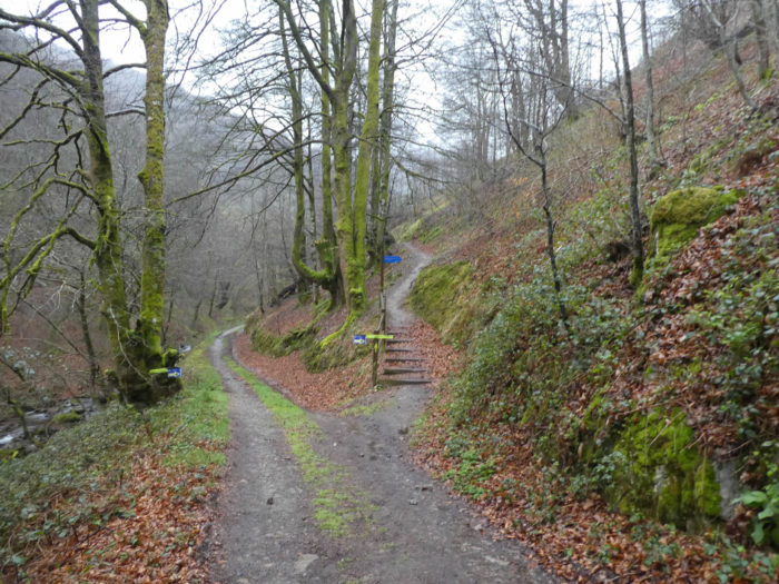
| The main directions of the Santiago track in Spain are often signalled by concrete poles with the shell. Often discreet cairns surmount the post. Here a stony pathway slopes down to the valley towards the river. The descent is short, but demanding. |
 |
 |
| The water does not flow to a great level in the river, and yet rain has started again. You’ll learn in Roncesvalles that the pilgrims who ventured on the other path, walked under the snow. The cold is striking, less than 3 degrees and all the pilgrims you meet are really frozen. Once past the stream, the fun party can begin. |
 |
 |
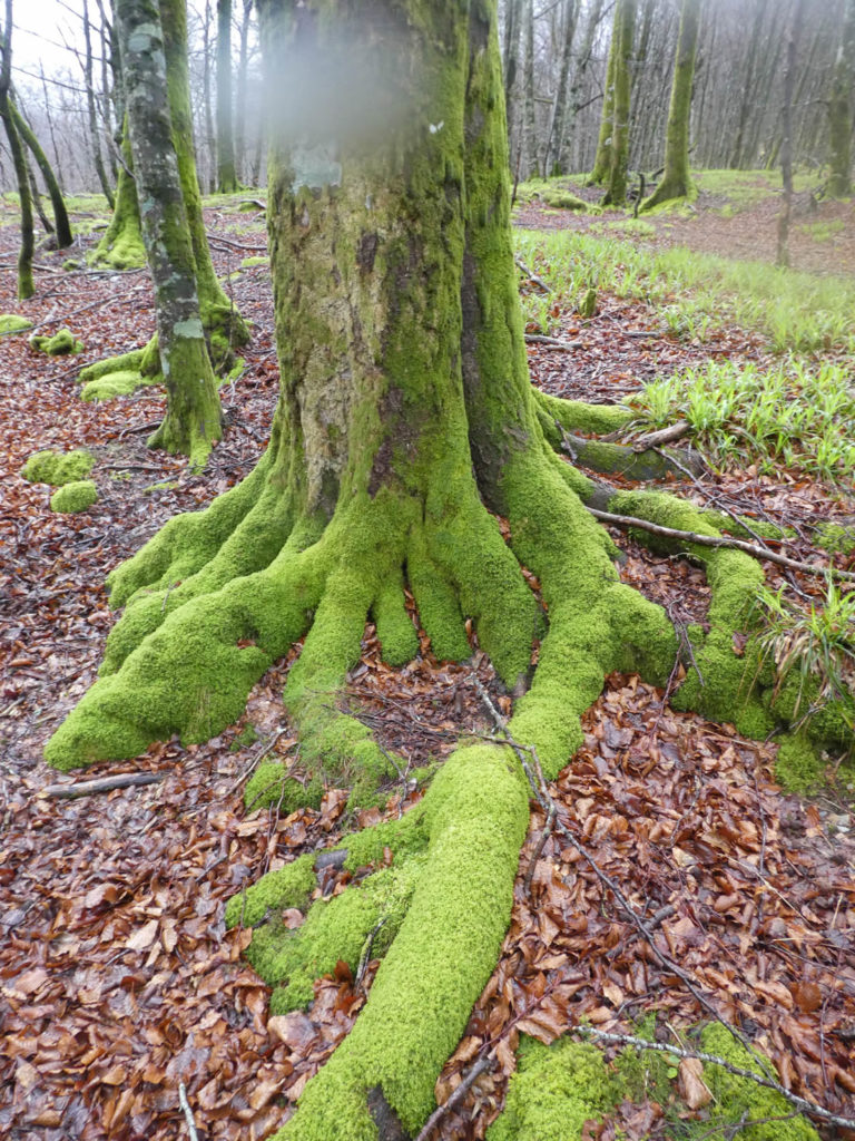
| And the pathway starts to climb in the wet smell of the forest. The look is gorged with soft green, because here moss insinuates everywhere. It clings to the rocks, crawls on the ground, invades the trunks and the branches of beeches with tortuous forms, never ends to get entangled with lichens. You’ll meet another world, where the chestnut trees have disappeared because of the altitude, where the stunted little beeches have taken the power. |
 |
 |
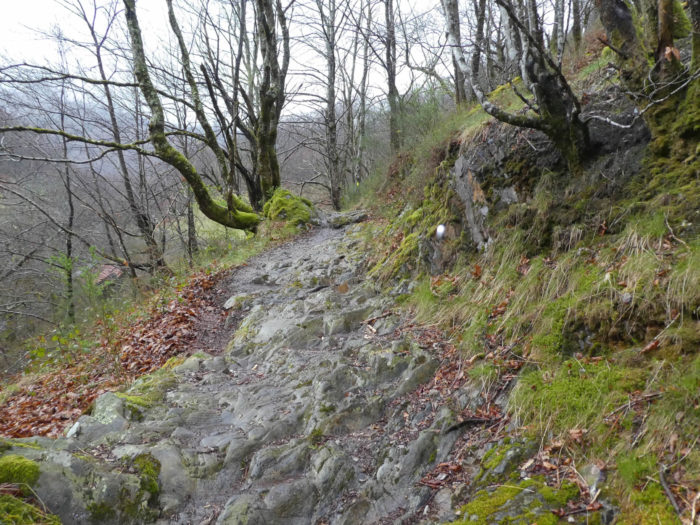
| A little up, a narrower pathway steeply climbs on slippery limestones. You must hang on here. |
 |
 |
May be sure that a wicked witch of the tales of our childhood wanders behind the door underneath. But, it’s just great this dale that gets lost, that get off under the trees. You just expect to see a bear or a wolf appear somewhere in the oppressive silence.

| A little further up, on the narrow brittle shale rock, the pathway leaves the forest for a little open space, amidst the calcined ferns of the previous year, and brooms desperately trying to put their first foliage. |
 |
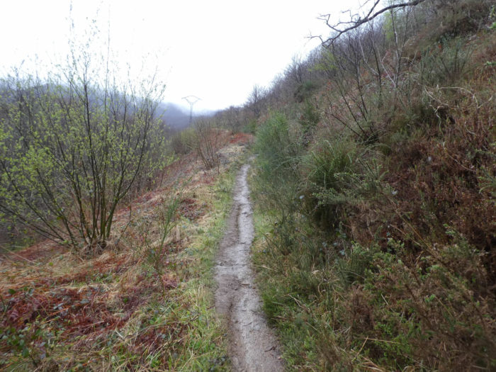 |
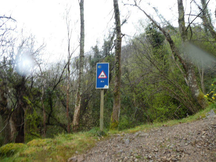
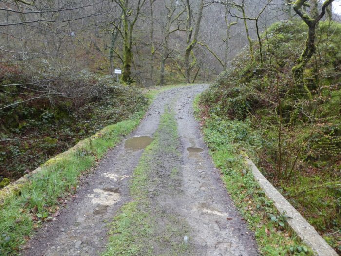
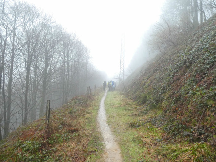
| And the pathway runs for a long time in a uniform landscape under the high-voltage line. No, you are not lost, there is always the shell and a pilgrim in front of you. He is probably as frozen as you are, in this cold spring, with the rain running down along the face. It is also necessary to do slalom, to find the tufts of saving grass, not to be bogged down by the mud of the lane. |
 |
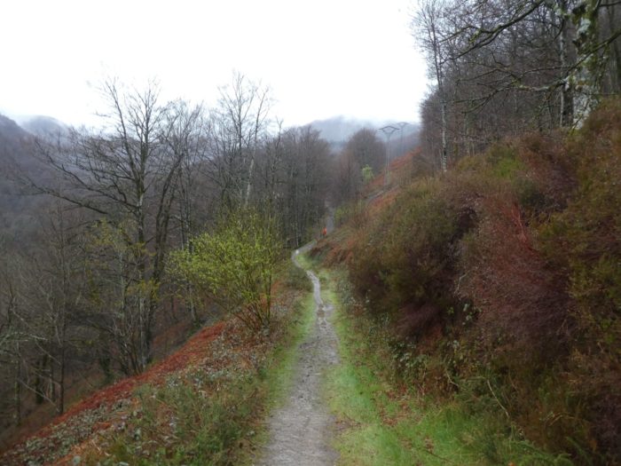 |
| The lane always climbs, here in the forest of beeches, straight like candles, like masts of ships that will tease the sky. Up there, the Korean pilgrim will arrive all the same tonight with a lot of heavy pain in Roncesvalles. |
 |
 |
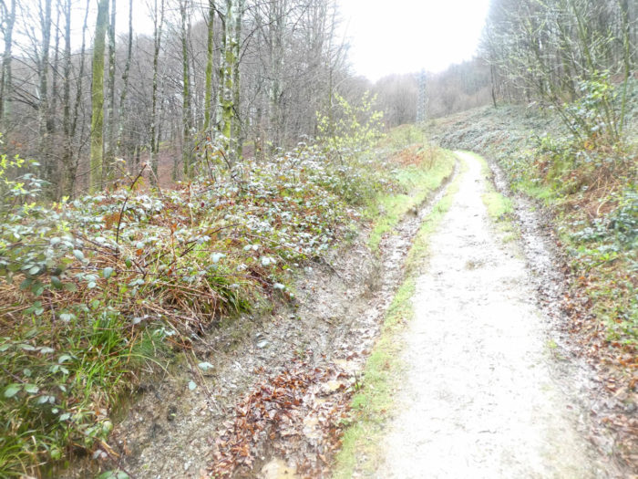
| Then, the pathway runs back to a less funny area where you can see only the high voltage line, raising the head, which drips under the visor. Well! You cannot always touch the absolute, the grandiose. So, you have to play with the mud of the pathway again or to rub you shoes on the bank brambles. For many pilgrims, it does not matter! They will clean the shoes at the “albergue“. |
 |
 |
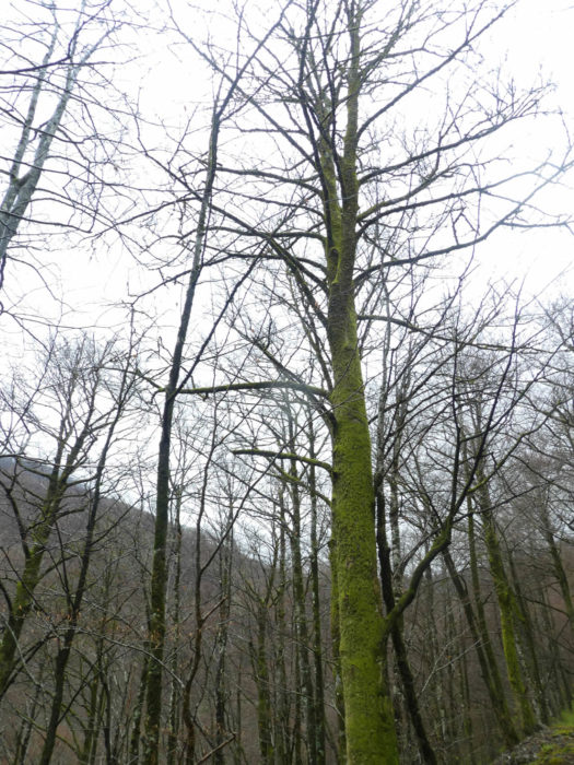
But just above, it is again the miracle, on a small plate, where you’ll remain dumbfounded in front of these beeches, which like the Gorgons of the mythology, with their hair entangled with serpents, had the power to petrify anyone watching. You could spend hours looking at these ghostly trunks with their huge green fingers that plough the forest floor, as if to hang on. But it’s getting colder and hypothermia is waiting under the raincoat.
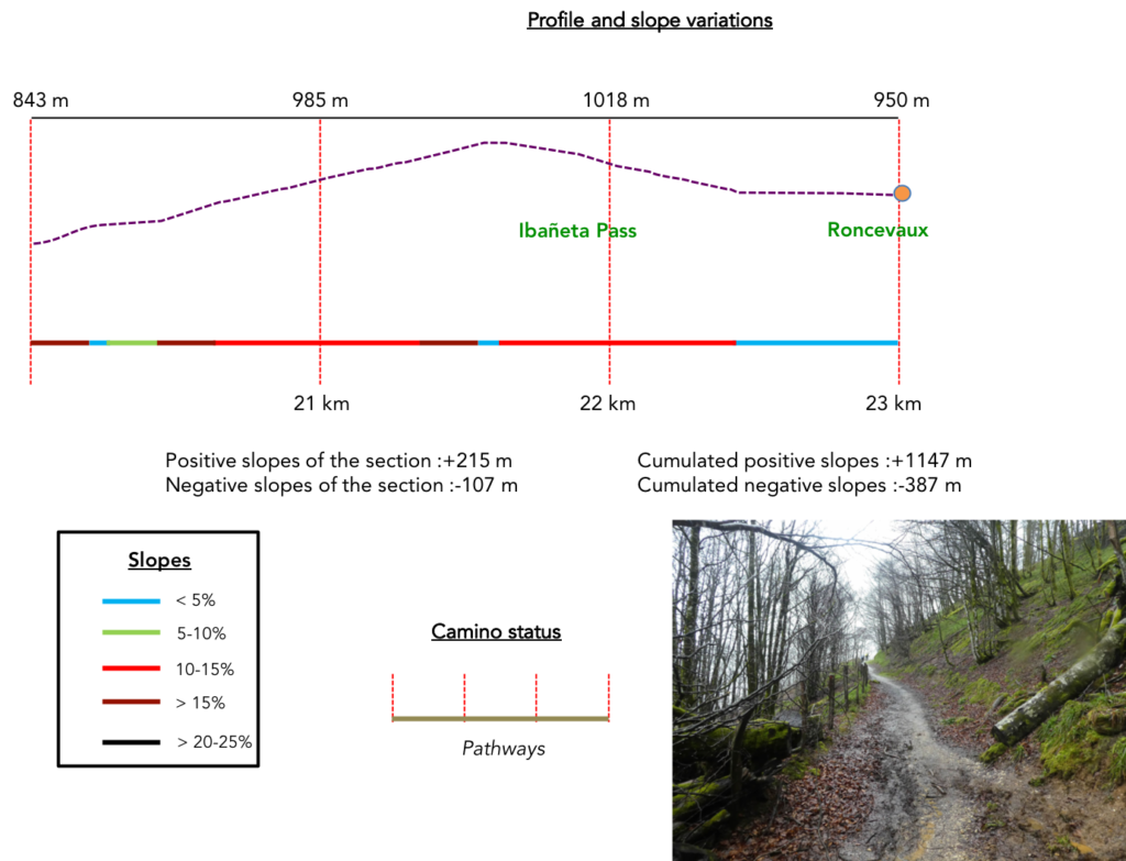
Section 6: Still some effort to reach Ibañeta Pass, a little above Roncesvalles.
General overview of the difficulties of the route: the effort remains sustained, 15% -20% slope. The descent, even if it is sometimes steep, is without problem.
| A few steep turns again in this incredible universe of silence and moss in the forest of the great beeches … |
 |
 |
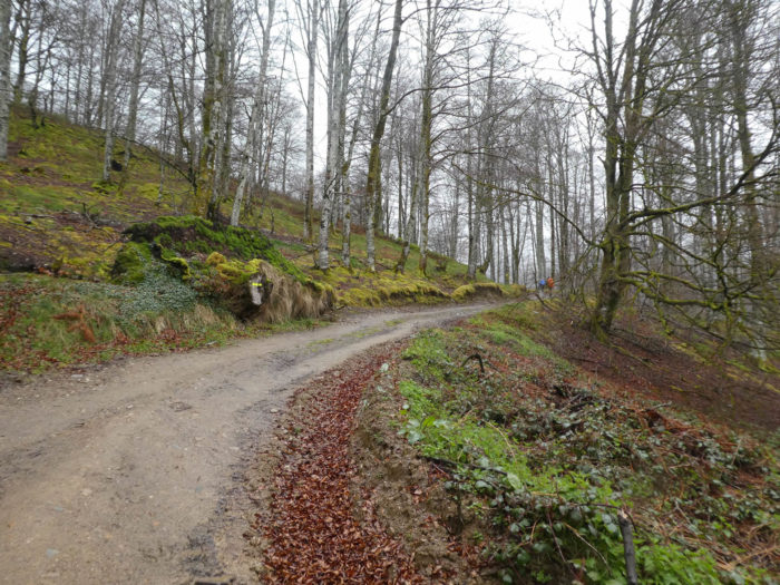
| … before the pathway reaches again the pass road. |
 |
|
| The pass road will make an endless series of turns here, but the pathway avoids the road and quickly leaves again in the beech forest. The slope remains tough. |
 |
 |
| Soon, a thick fog comes in, in addition to the rain that spews over the mud and the wind. A real enjoyment, the Santiago track, right? Here, Korean pilgrims make a weather point or a last bivouac before the summit. |
 |
 |
| So, a last demanding effort, and the pathway arrives at the pass. |
 |
 |
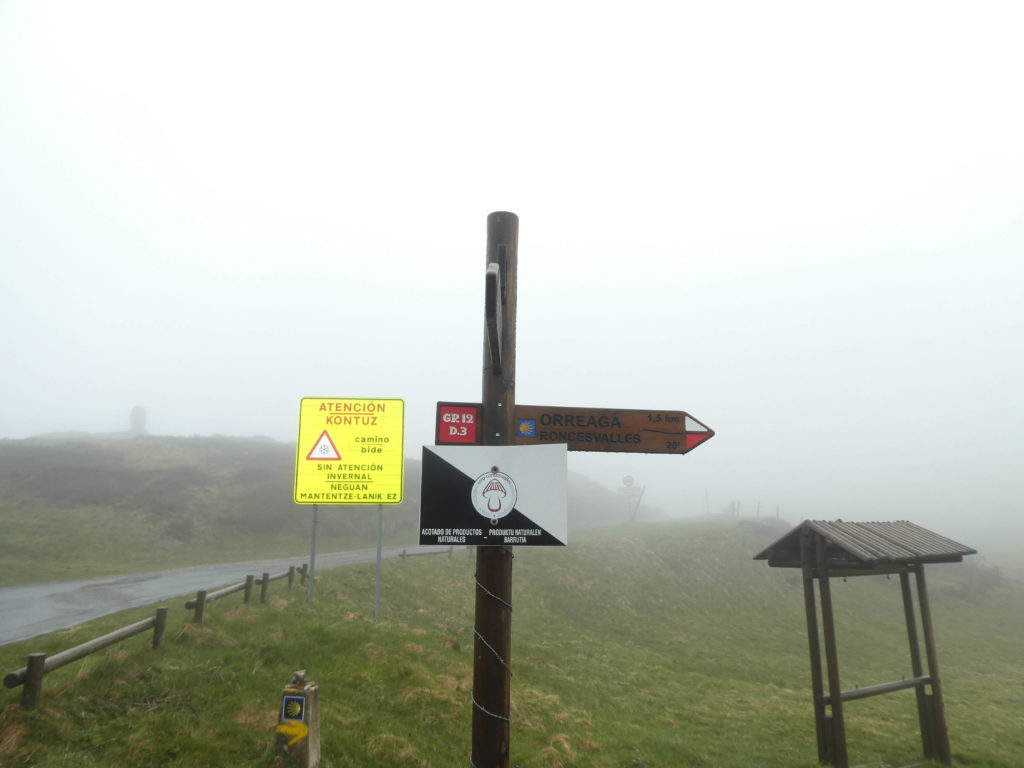
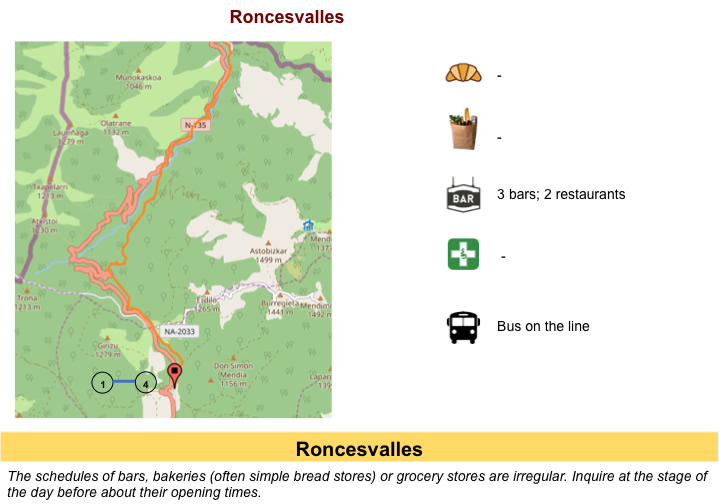
The Ibañeta Pass or Roncevaux Pass (in Spanish Puerto d’Ibañeta) is at an altitude of 1,057 meters. This is also where the GR path comes in, if you follow the variant coming down from Leopoder Pass in difficult weather. Today, there is not much to photograph here, right? Only a few pilgrims who shiver do exercises, doomed to fail, to find a little heat
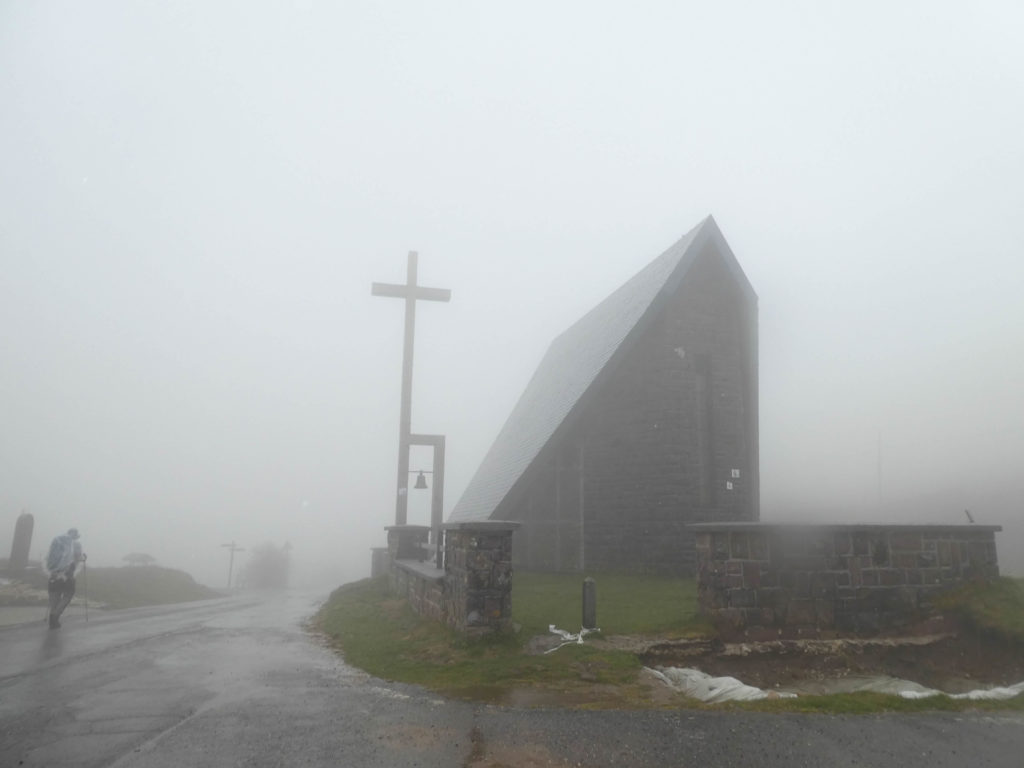
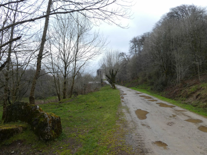
Sloping down to Roncesvalles begins just below the pass. The descent is not long. Roncesvalles is only 1.5 kilometres from here, 100 meters below. You will not see anything of this achievement, the film having been very incapable of fixing images, so dense was the fog.
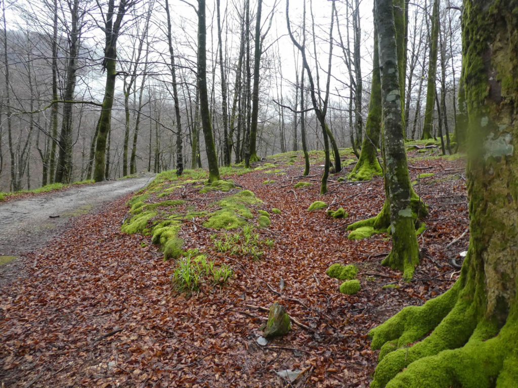
| Just before reaching Roncesvalles we could see that the descent was indeed in a forest of magnificent beech trees. But, this we already knew, having already run in the same forest by the GR path another time. |
 |
 |
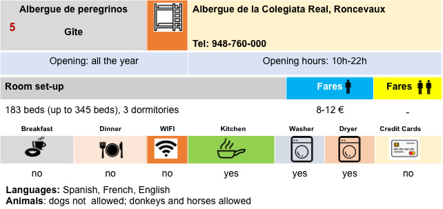
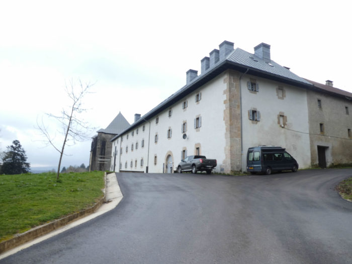
| The pilgrims, for the most part, will spend the night at “alberge para peregrinos”, the former priory of the Collegiate Church of Roncesvalles. It’s often the race to find a place. Even in the spring, this can sometimes be a problem. But pilgrims often prefer to go through this period to avoid the heat wave from June. But who will dare to pretend preferring the rain and cold of the northern Spanish spring? |
 |
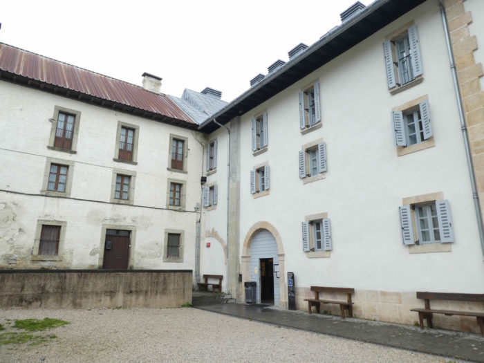 |
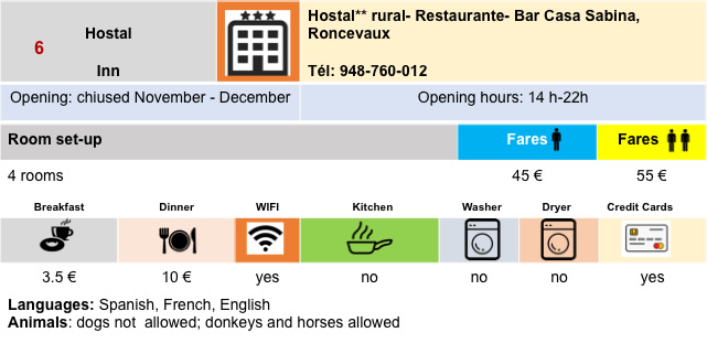
| The most fortunate may go to Roncevalles Hotel, an old charitable house, retouched a little in luxury and good taste. But, whatever will be the choice, it will take a lot of time to relax, to find an adequate body temperature, before considering going to sip a beer or a glass of white wine, at the hotel bar, where there are, almost exclusively Americans who speak loudly. Korean people do not go to bars. |
 |
 |
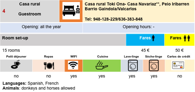
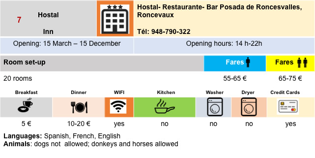
Lodging
Feel free to add comments. This is often how you move up the Google hierarchy, and how more pilgrims will have access to the site.
|
 |
Next stage : Stage 2: From Roncevaux to Zubiri |
|
 |
Back to menu |