On the endless “Senda de peregrinos”
DIDIER HEUMANN, ANDREAS PAPASAVVAS
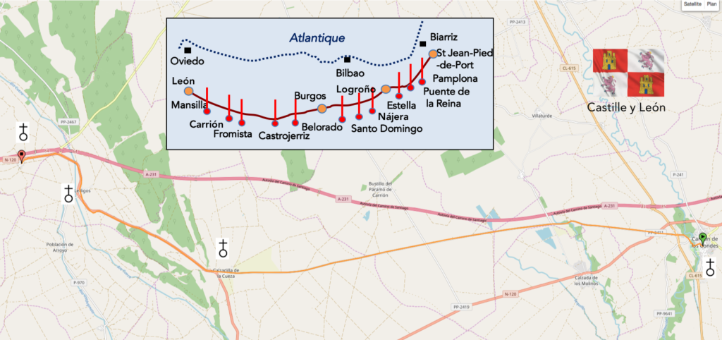
We divided the course into several sections to make it easier to see. For each section, the maps show the course, the slopes found on the course, and the state of the Camino. The courses were drawn on the “Wikilocs” platform. Today, it is no longer necessary to walk around with detailed maps in your pocket or bag. If you have a mobile phone or tablet, you can easily follow routes live.
For this stage, here is the link:
https://fr.wikiloc.com/itineraires-randonnee/de-carrion-de-los-condes-a-terradillos-de-los-templarios-par-le-camino-frances-33877615
It is obviously not the case for all pilgrims to be comfortable with reading GPS and routes on a laptop, and there are still many places in Europe without an Internet connection. Therefore, you will find a book on Amazon that deals with this course. Click on the title of the book to open Amazon.
If you only want to consult lodging of the stage, go directly to the bottom of the page.
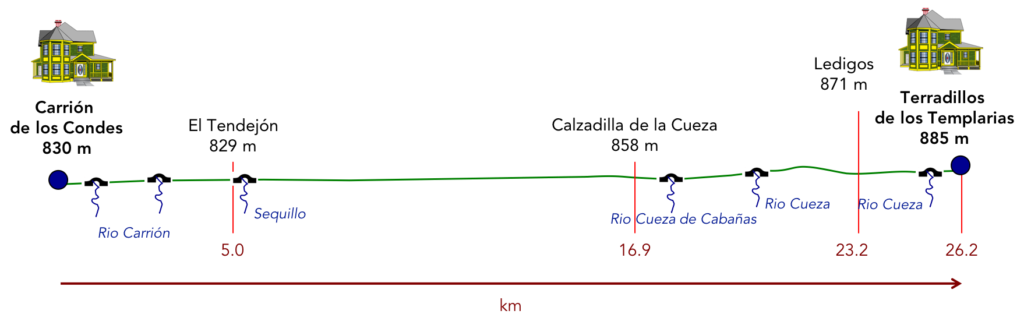
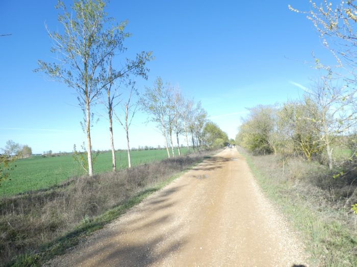
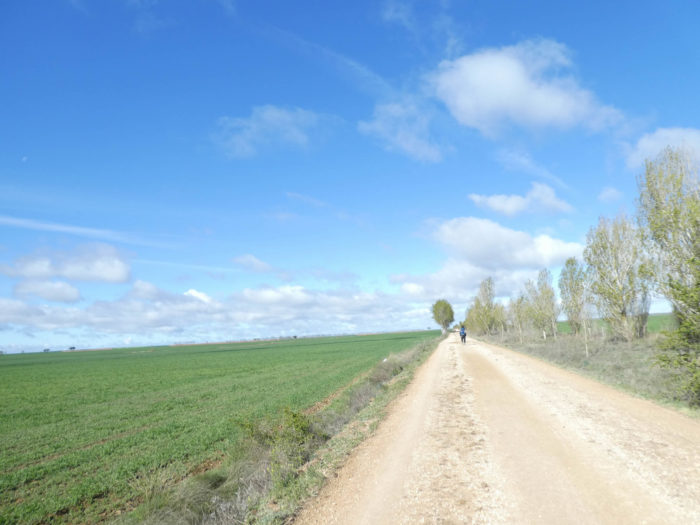
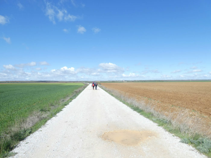
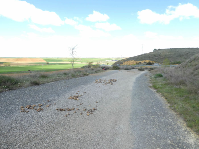
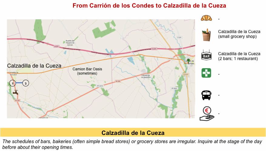
Beyond Carrión de Los Condes begins the Páramo, which means plateau and heath at the same time. And it is true that here in terms of heathland, you will not be disappointed. Until reaching Calzadilla de la Cueza, it is a long stretch of more than 17 kilometers, without any village, with almost no shade. The desert, right! Yes, but a grain desert, as always. One day you will get out of the Meseta, who knows?
But do not imagine that beyond Calzadilla de la Cueza, it is the return to the small side pathways that hide in the woods. Because, you are actually walking on Vía Aquitana, the great Roman road which in Spain went from Bordeaux to Astorga, passing through Burgos and Carrión de Los Condes. In the Middle Ages, the Roman road was used as a passageway by pilgrims from France and the North who were heading to Santiago. It must be understood that these ancient Roman roads have always been in favor. Because Julius Caesar or Auguste had built wide and solid roads, often stony, to pass their armies or their goods. Here, you will only carry your bag, and you will reach Terradillos de Los Templarios, to the Templars, if you have the courage.
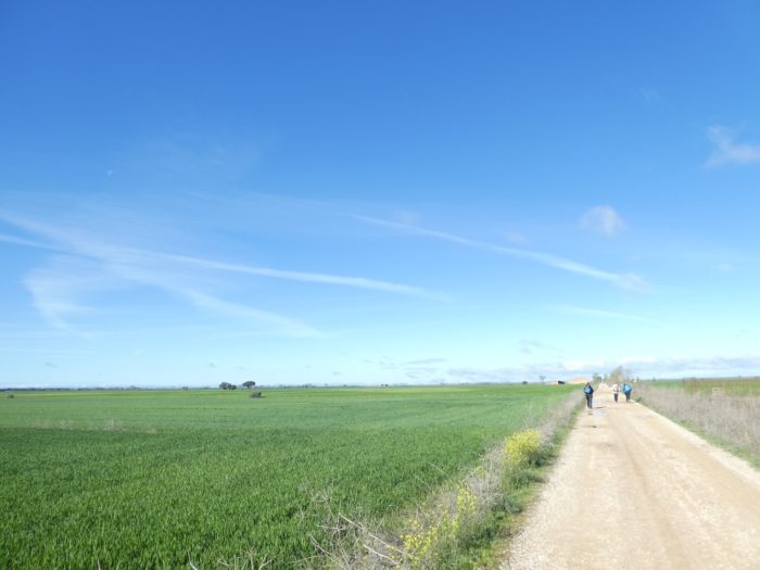
In the “albergue”, the pilgrims are never stingy with comments. For the most part, they arrive at the end of the stage at the beginning of the afternoon. They must take care, because the day is still long. When you arrive in a city like Carrión, it’s not the sea to drink. There are so many beautiful things to see. But, the pilgrims drop their unbearable mobile phones from time to time, and quibble among themselves about the stage of the day and especially about that of the next day. Where to stop tomorrow? How much longer will we have to endure this interminable Meseta? So, they turned and turned the question. Calzadilla de la Cueza, Ledigos, Terradillos de Los Templarios, all the options were open, that is to say 17 km, 23 km or 27 km of walking. Seeing the pilgrims marching along the route, the majority no doubt leaned towards Ledigos. But, the bravest went to Terradillos. The more you lengthen the stages, the faster you will end up getting out of this eternal Meseta, which in the long run eats into your brain and soul a bit, it must be said.
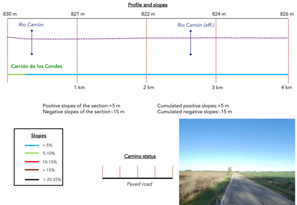
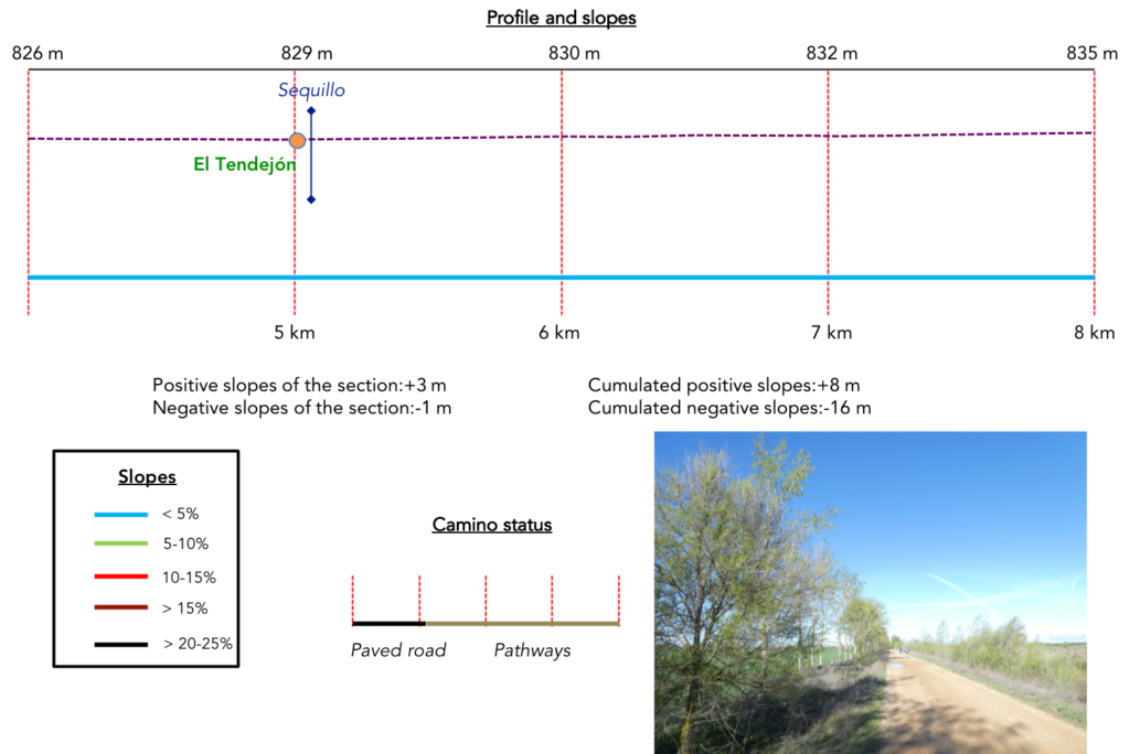
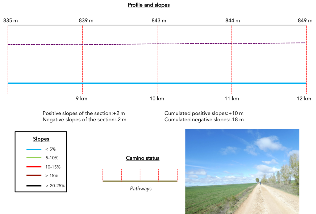
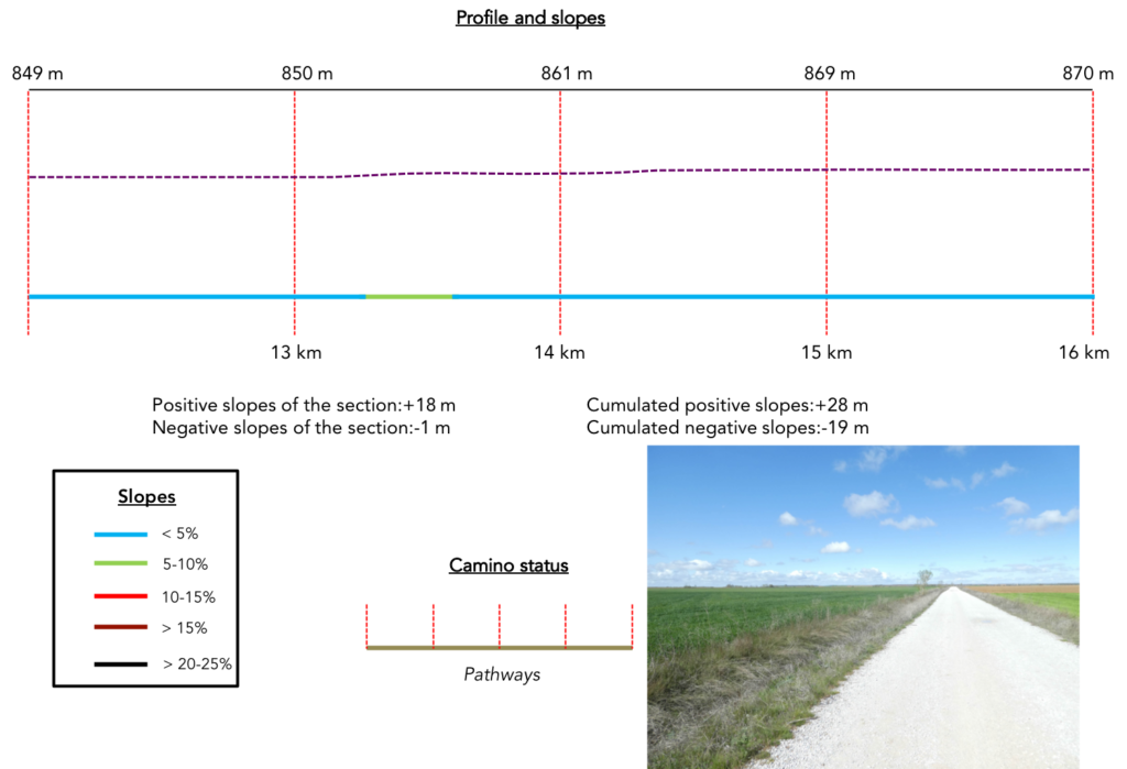
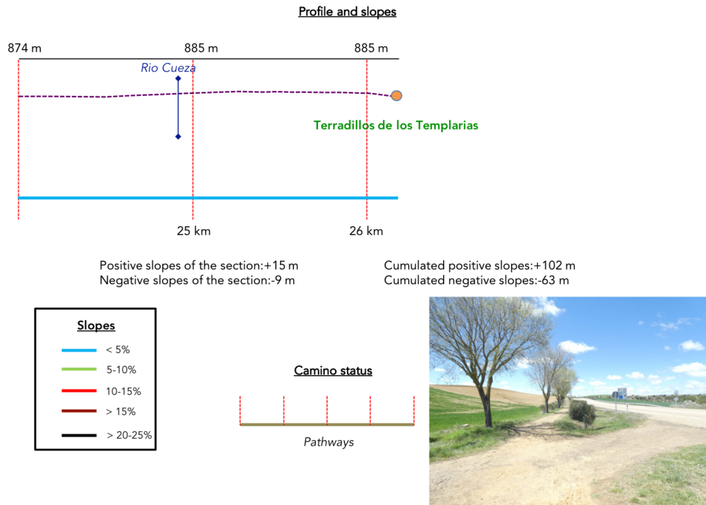
Difficulty of the course: Slope variations today (+102 meters /-62 meters) are nonexistent. It’s time you go for a little ride
 As usual so far, the pathways have the distinct advantage:
- Paved roads: 5.2 km
- Dirt roads: 21.0 km
We made it all the way to León in one go, in a cold, rainy spring. From then on, many stages were made on soggy ground, most often in sticky mud.
It is very difficult to specify with certainty the incline of the slopes, whatever the system you use.
For “real slopes”, reread the mileage manual on the home page.

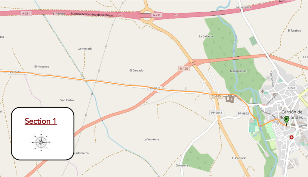
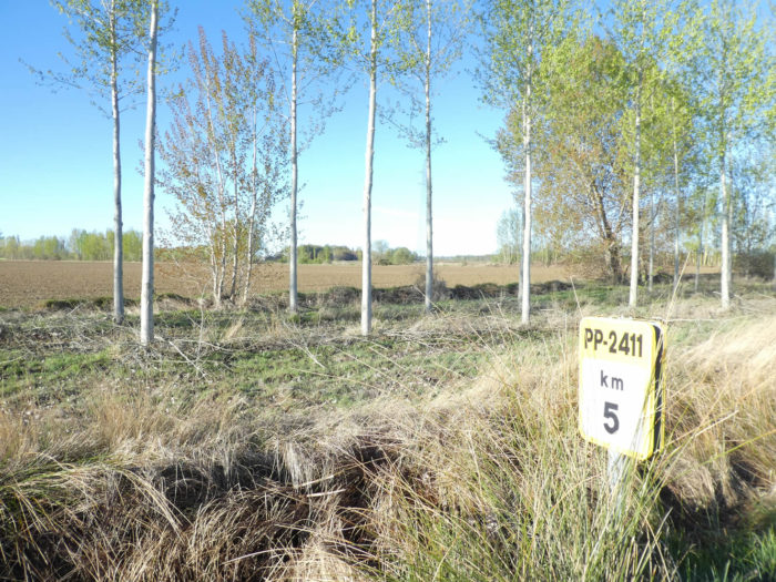
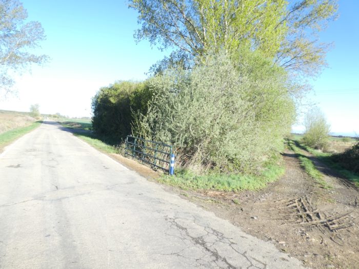
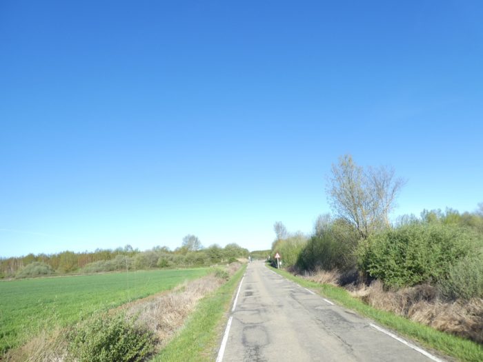
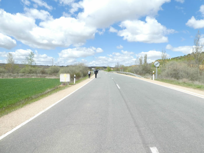
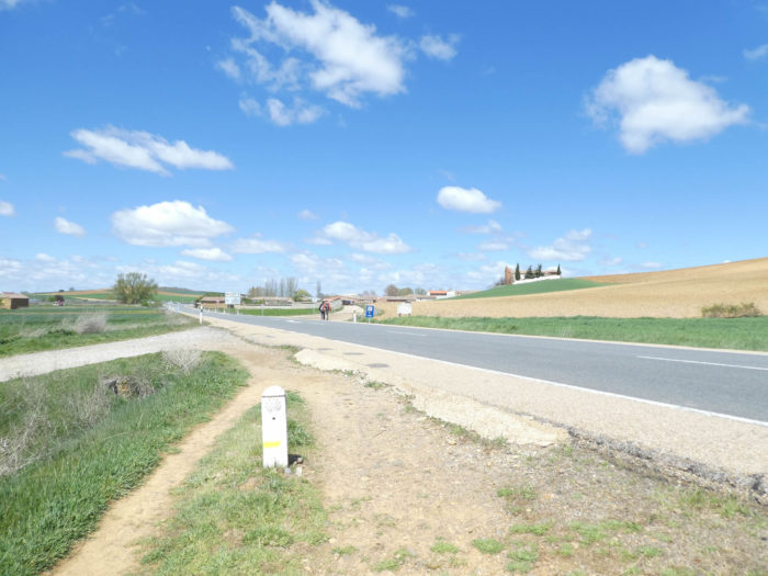
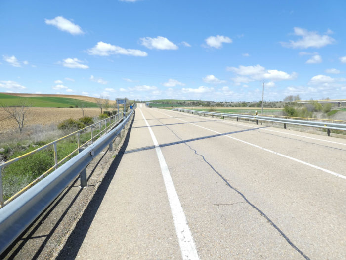
Section 1: Full speed ahead on the PP-2411 road.
General overview of the difficulties of the route: course without any difficulty.
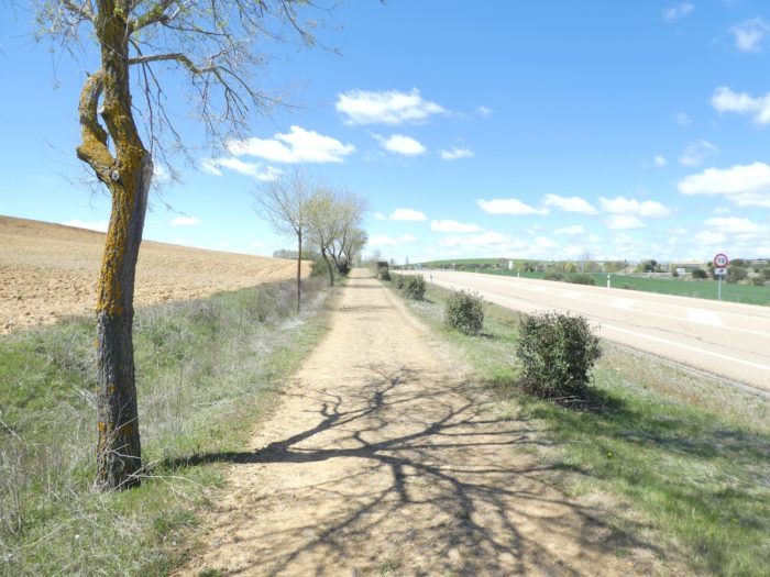
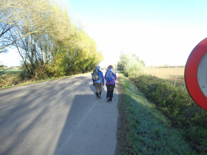
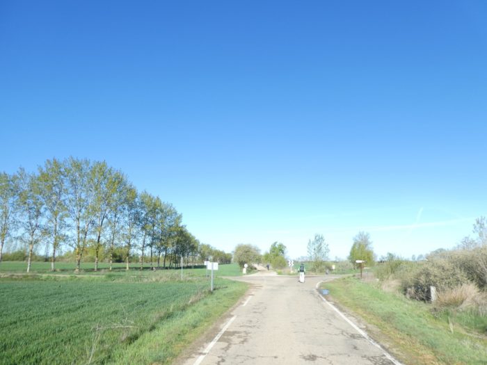
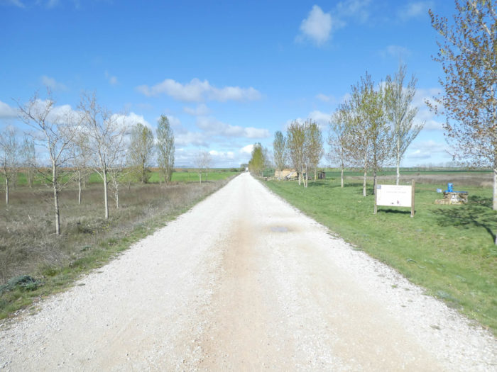
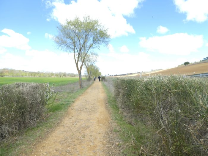
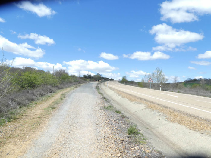
| This morning, the weather is nice on the Meseta. It changes after a week of rain and you can see smiles coming from the pilgrims. But the wind is still blowing due west in the figure, although it has decreased in intensity since yesterday. So, you’ll start at San Zylo, at the exit of Carrión de Los Condes. You’ll leave the village at a road junction where the Burgos-Leon motorway, the Autovia del Camino de Santiago, also runs. However, you’ll hardly see the highway today, except from quite a distance. It won’t hurt anything. |
 |
 |
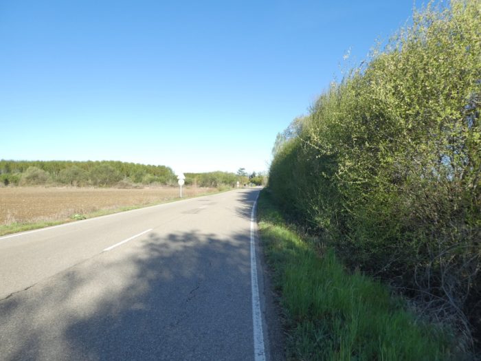
| But, in the initial program of the Camino, today is neither the N-120 road nor the P-980 road the choice, but a small local road, the PP-2411, where the traffic is less important than the day before, not to say nonexistent. But this is tar. |
 |
 |
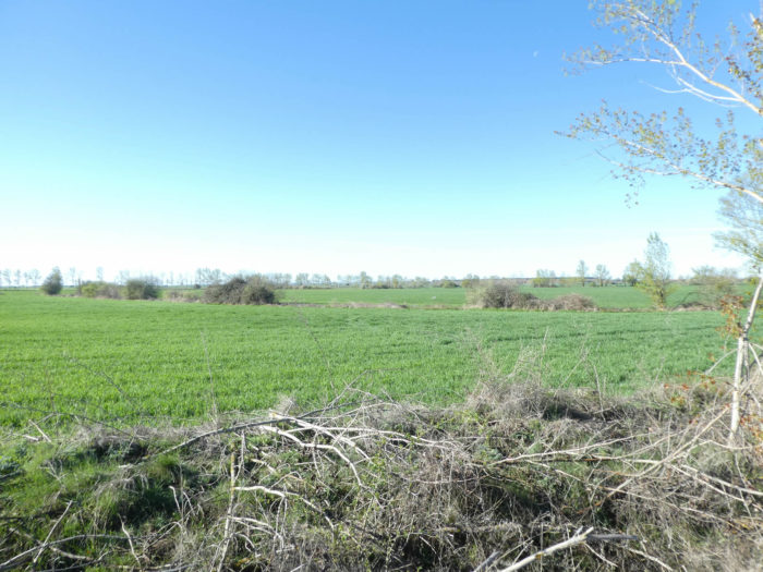
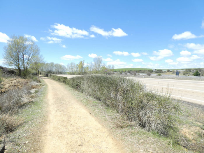
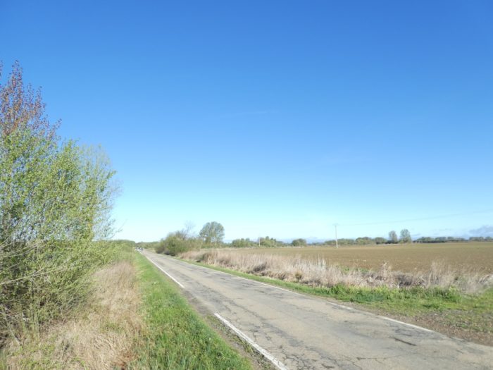
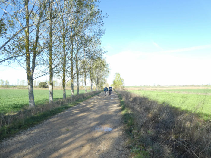
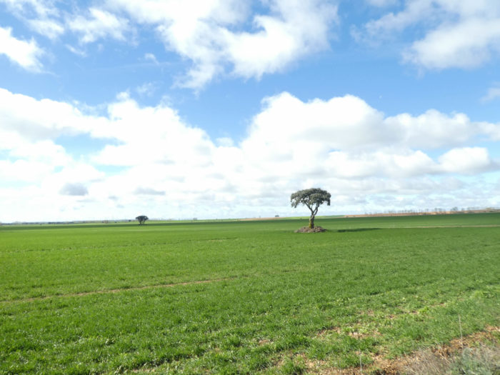
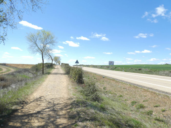
| Here you’ll find hedges, white and black poplars. Everyone knows it, but hardly does anything about it. The hedgerow, the wetlands, the hedges, all this contributes to the maintenance of biodiversity. The Meseta, without a tree, is the door open to programmed desertification. Of course, large tractors are less bothered by the absence of trees. Franco loved the great outdoors, and it was before global warming, before the desertification of our planet, if we continue farming like this. When there will be nothing left on earth but wheat and corn, no more insects, no more birds, the world will no longer be able to live, no longer to survive, because nature is just a great recyclable cycle. |
 |
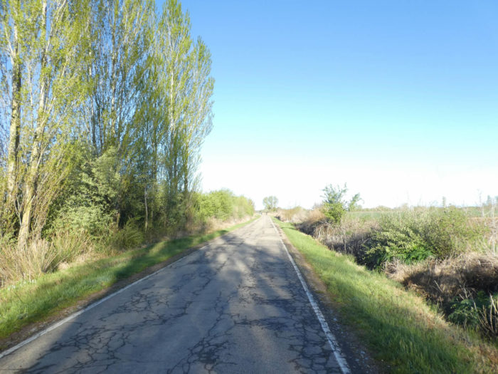 |
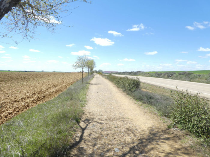
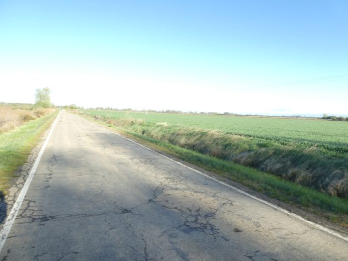
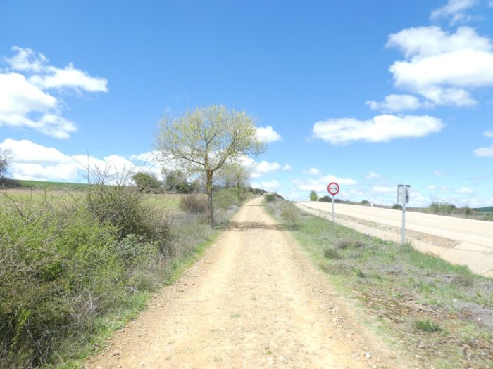
| The road is straight, the scenery without much surprise, always endless, despite the hedges. Here, the fields planted with green manure have almost disappeared to make way for plowed land probably waiting for corn. Wheat and barley have not yet risen. Along the road, there is always the possibility of slipping your shoes on the dirt or the grass of the aisle. |
 |
 |
| On your right, cars can be seen passing in the distance on the highway. |
 |
 |
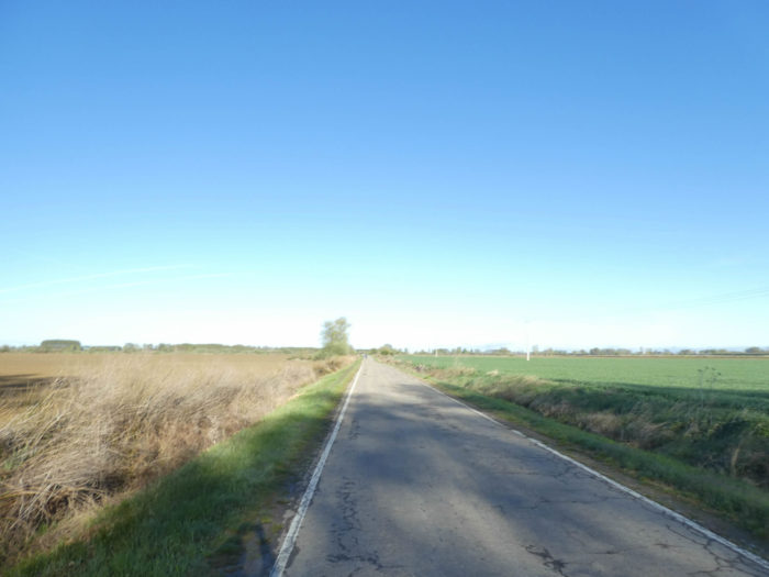
| Here again, the view is so far that discouragement is never excluded for the poor pilgrim who walks in this never-renewed universe. |
 |
 |
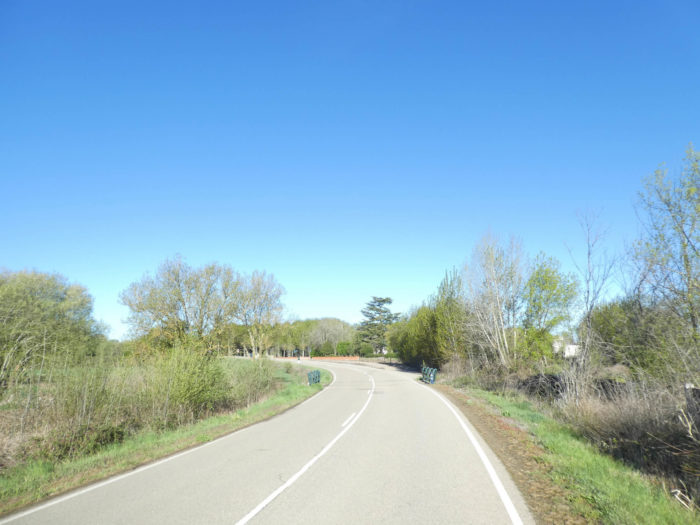
| Further, you have the vague feeling that the scenery could change, because you see in the distance that the road turns with discretion. |
 |
 |
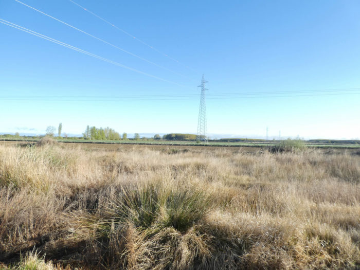
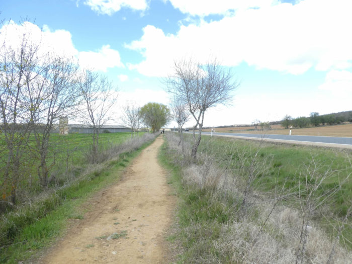
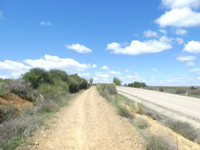
As we have repeatedly pointed out in the previous stages, in the Meseta we find an ingenious system of irrigation. These are small canals, linked by water towers where rainwater, and possibly streams, flow in the open air from one region to another. On the sides of the road, we always let the weeds grow.

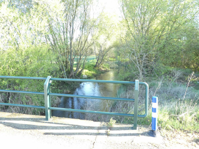
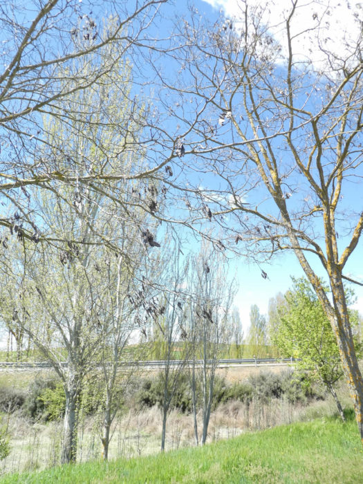
| Along the way, the road crosses a tributary of Carrión River. Poplars love to soak their roots and dabble in water. |
 |
 |
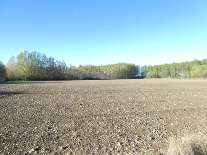
| And the road deploys its bitumen ribbon towards a poplar wood. Here, farmers do not remove pebbles from the fields, but the corn will probably flourish in a little wetter soil, especially since there are a few bodies of water in the region. |
 |
 |
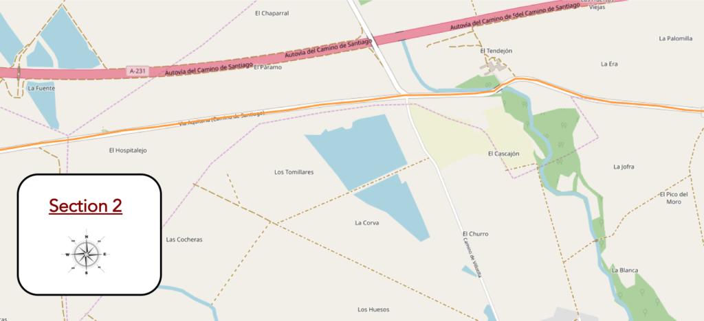
Section 2: Along Via Aquitana.
General overview of the difficulties of the route: course without any difficulty.
| Further afield, the road crosses a small stream which flows towards the small village of El Tendejón, on the other side of the poplars. |
 |
 |
| Throughout the course, the farmers have kept a composite hedge to separate the fields from the road. |
 |
|
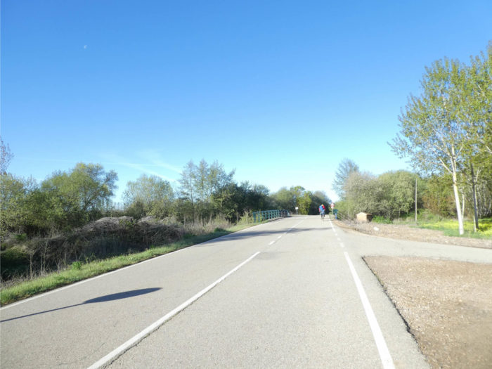
| A little further, the road crosses a real river, the Rio Sequillo. Here, alders and chestnut trees grow among the poplars. |
 |
 |
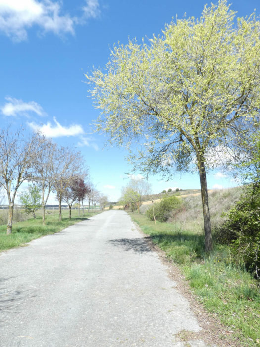
| The Camino continues its merry way on the tarmac for a little longer… |
 |
 |
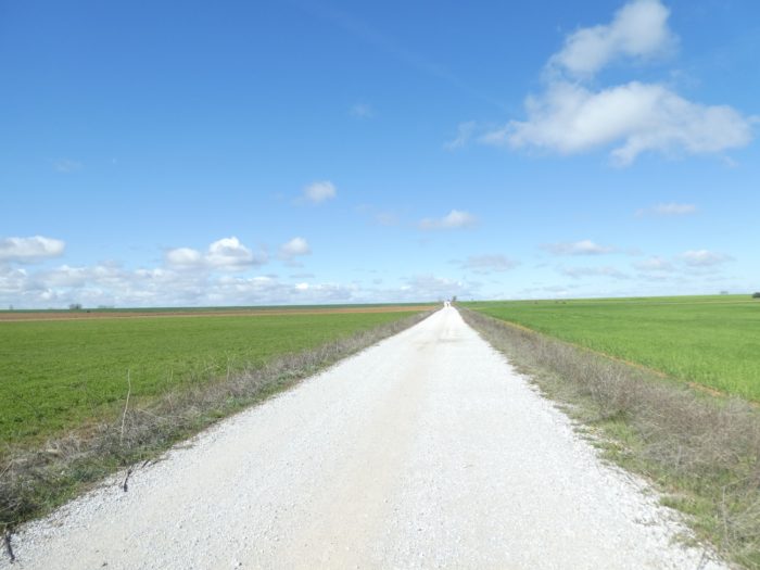
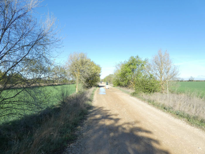
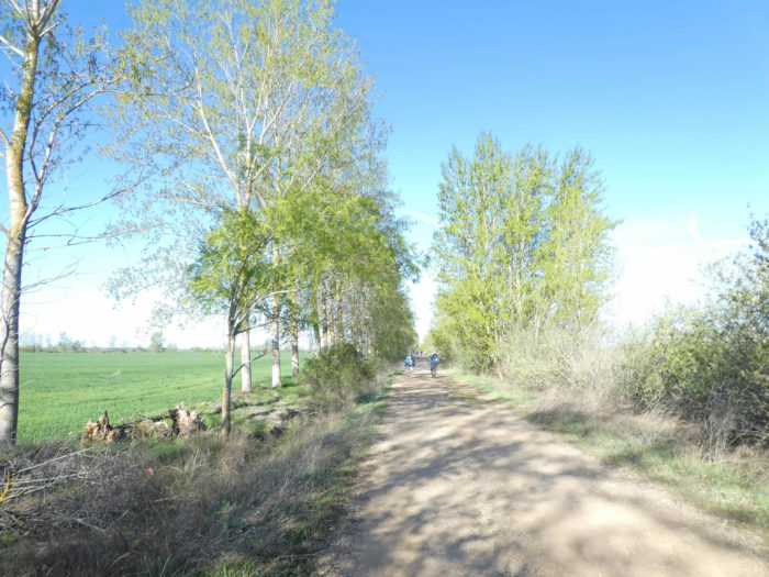
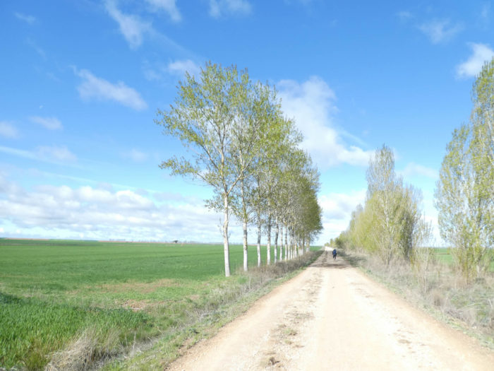
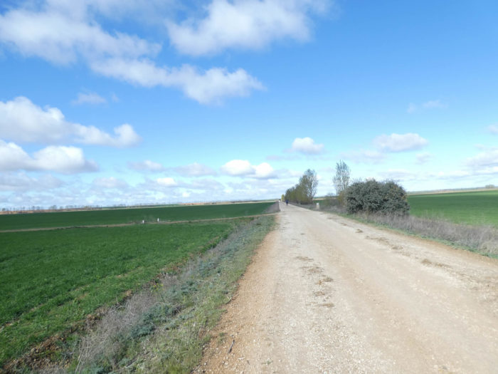
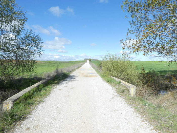
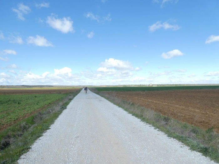
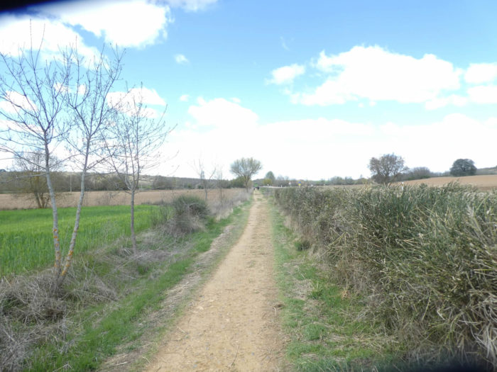
| …before leaving the tarmac road to take a very long straight dirt road, the “calzada de los peregrinos” (pilgrims’ roadway). This is the Via Aquitana, the Roman road that ran here from Burgos to Astorga, passing through León. This stretch of the original Roman road is still intact after 2,000 years. More remarkable is the fact that this section crosses an area of bog devoid of any stone for its construction. It is estimated that tons of rock had to be brought here just to raise the gravel road above the land that was flooded in winter. |
 |
 |
| The pathway runs under black poplars, chestnut trees and a few lime trees. The pilgrim salivates in advance, because he knows that the straight pathway here is more than 10 kilometers to reach the next village. Today, on the way there are sometimes traces of the rainy weather of these last days. |
 |
 |
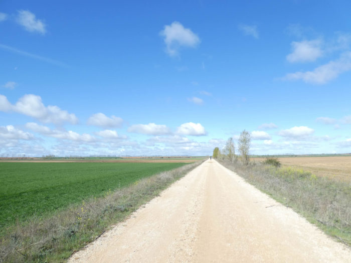
| Over time, the further you walk on the Meseta, the more you have the feeling that the straight lines lengthen, as in the space-time relations of Einstein’s relativity, where even time can lengthen. Because, it must also be said that the more the space becomes repetitive, the more our brain gambles. So, to shorten the space, one solution is to find a landmark in the distance and fix your gaze on it, like an Ariadne’s thread that brings you to it. The landmark can be a tree or a group of pilgrims in front of you. Once the target is reached, you have to find another landmark or think about something else, your family, your taxes, what do I know? |
 |
 |
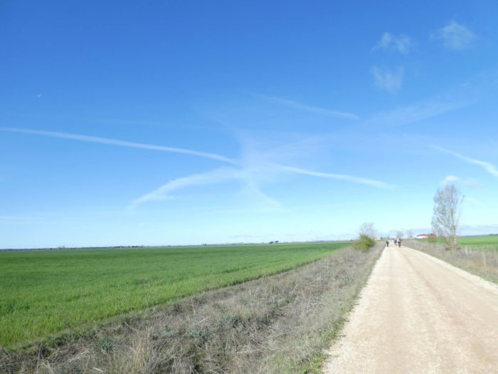
Behind the small black poplars, there is only the immensity of the Meseta. The highway always passes there.

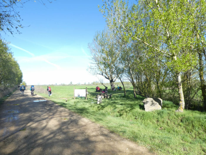
| Further ahead, the poplars become denser at the edge of the pathway before finding a picnic spot where the pilgrims take a break under the trees. This is the Fuente de Hospitalejo rest area, where a fountain must once have been. There is not a drop of water left to drink here. |
 |
 |
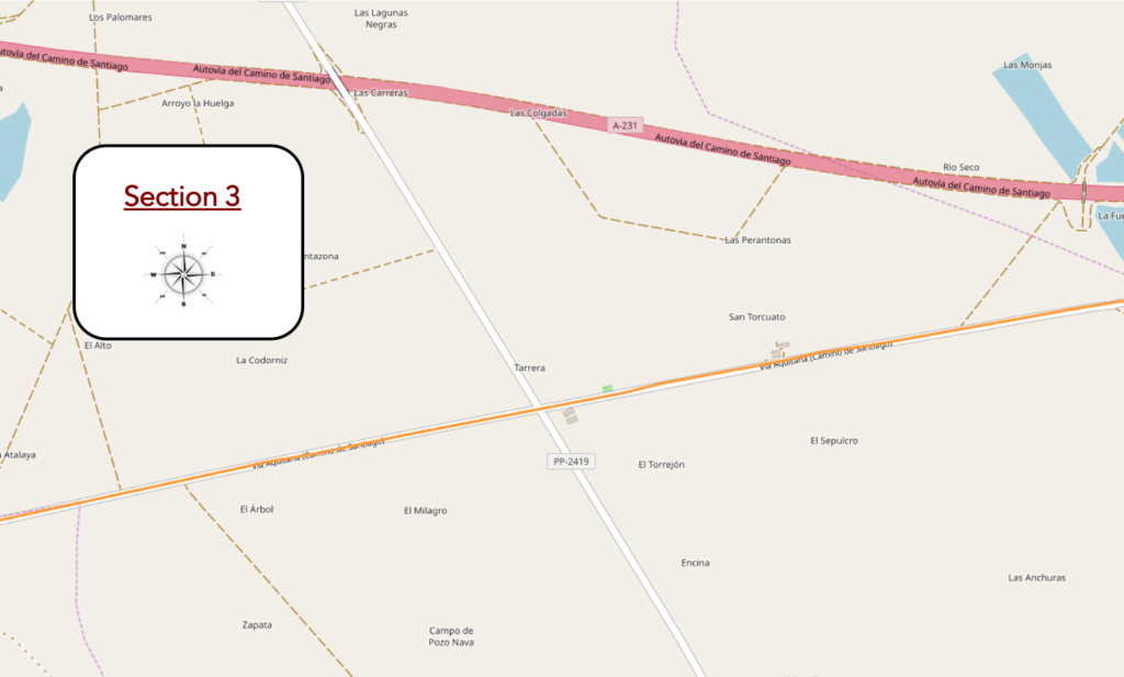
Section 3: The Via Aquitana is still long.
General overview of the difficulties of the route: course without any difficulty.
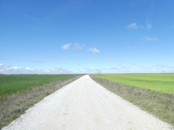
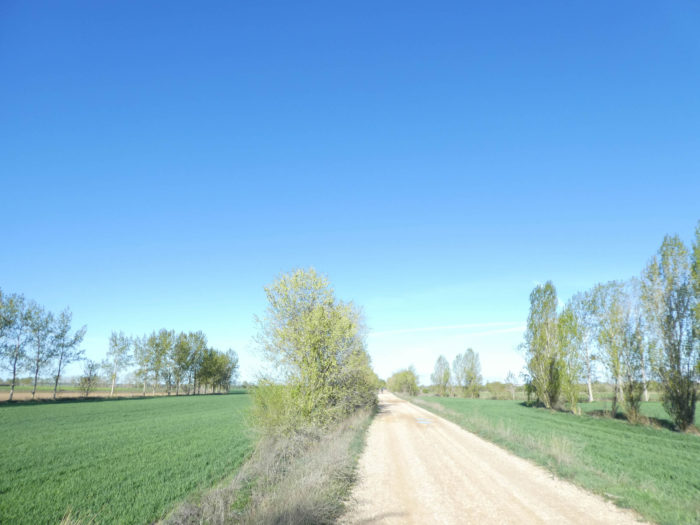
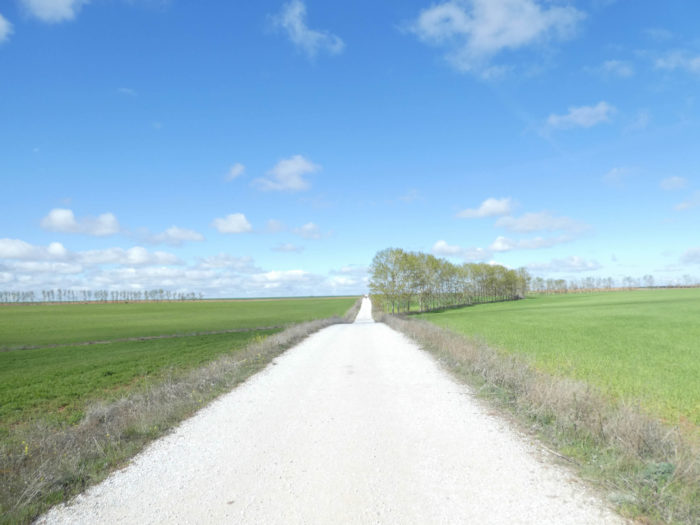
| And the pathway gets longer and longer in the monotony of Meseta of today, yesterday and tomorrow. There are couples who walk together, in apparent harmony. There are unconditional loners. Then there are all these pilgrims who invent families. They go a long way together, find themselves in the same “albergue”, then dissociate, to find themselves perhaps further. Most of them tell the way, talk a lot about them, sometimes a little about others. However, for one reason or another, they part one day. They didn’t even exchange their email addresses. You have to get used to walking alone, or start a new “family”. And these pseudo families are very useful for shortening the course. So, you watch for the spoken language of your neighbors, and if you recognize familiar sounds, you join them. Polyglots are obviously favored. English remains the lingua franca, as few foreign pilgrims know only two words of Spanish, or little more. |
 |
 |
| Further ahead, in a not too distant horizon, a group of hangars is emerging. |
 |
 |
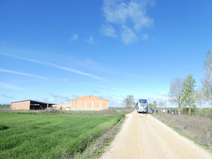
Near the sheds, passes a small road that the pathway crosses. A bus unloads here a cargo of walkers who will go for a ride. For the most part, the pilgrims are still “real” pilgrims, bent under the weight of their bags, who walk as far as Santiago or Finisterra. But, that will change beyond the Meseta. You can hardly imagine Koreans or Americans taking a few stages and then returning home. For Europeans, the Spaniards in particular, it is obviously different. Many parallel circuits are possible, such as splitting the trip, having the bag transported, spending the night in hotels. There are walkers who no longer support a back load, or who do not close their eyes, opportune as they are by the promiscuity of the snorers present in the “albergue“.
. |
 |
 |
| The pathway often gives an idea of what infinity could be, a horizon that can be guessed, but which always pushes its visible limits a little further. |
 |
 |
| Julius Caesar moved his soldiers and chariots through the most accessible territories possible. Here, it should not have represented an insurmountable difficulty to draw the track. So, on the yellow, sometimes whiter ground of the pathway, you may have the feeling of walking in history. Who knows? In the immense silence, even if you walk alone, you will never feel isolated. |
 |
 /td> /td> |
Section 4: You haven’t tasted Via Aquitana enough yet.
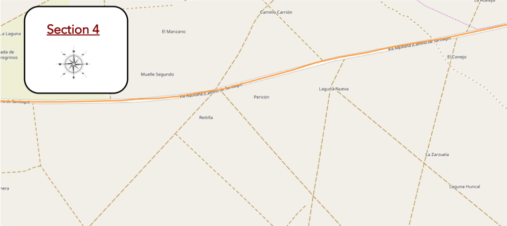
General overview of the difficulties of the route: course without any difficulty.
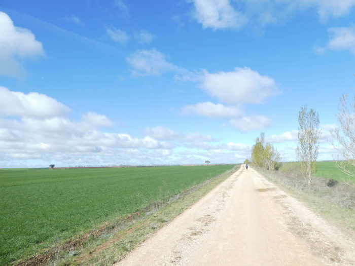
In this soil that has stopped growing for weeks, frozen in cold and water, a tree prays for some sun. Legends and rumors have circulated among pilgrims as they approach Burgos, and many have perhaps considered taking the bus to León to avoid the fears engendered by Meseta. Then, they undoubtedly changed their minds, worried all the same about this long crossing of solitude which puts the soul bare, which makes it possible to commune with hundreds of millions of pilgrims who, over the centuries, have left a little their magic and their suffering in the dust of the pathway, here on the “calzada de los peregrinos”.
. |
 |
 |
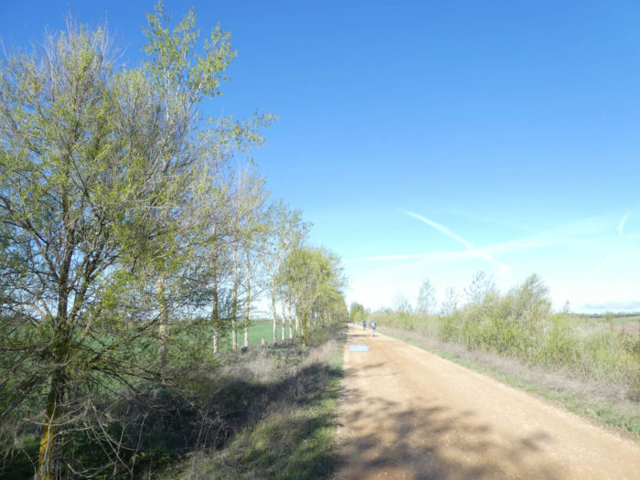
| The pathway sometimes runs in bare spaces, sometimes a little with more poplars, like here on the picnic area of Canada Real Leonesa. |
 |
 |
| Further ahead, it runs by a stream and begins to undulate slightly towards a gentle hill. |
 |
 |
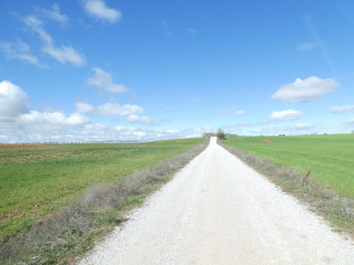
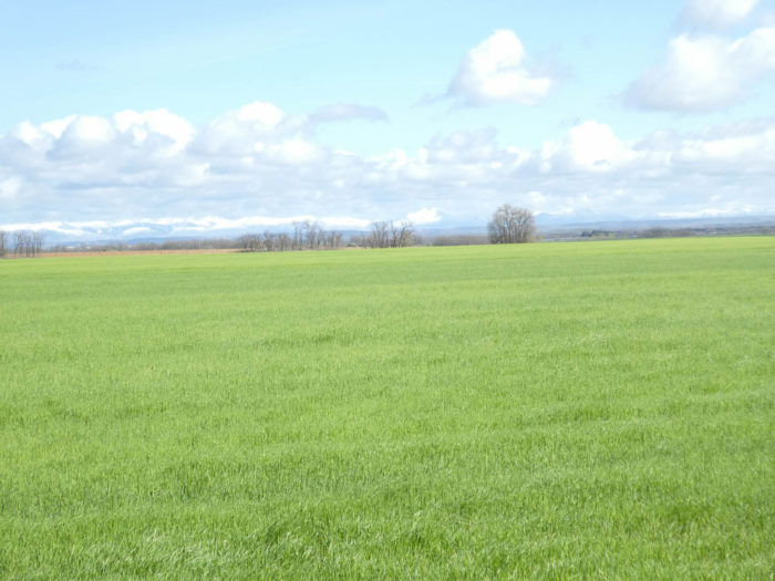
| For worried agoraphobics, the pathway drags on with pain. For lovers of the rapture of great open spaces, boredom is not part of their range. Here, it’s like on the immense plains of the American Midwest bathed by Missouri, where once buffalos and Indians frolicked. Today, it’s corn and soy as far as the eye can see. Here, it’s flat to lose your mind, to sometimes confuse the place and the wrong side, the sky and the earth. It’s empty too, but there’s always something to see, like a bird humming in a poplar. Then there is also the dream part, a space for oneself, which you may also enjoy sharing with others. |
 |
 |
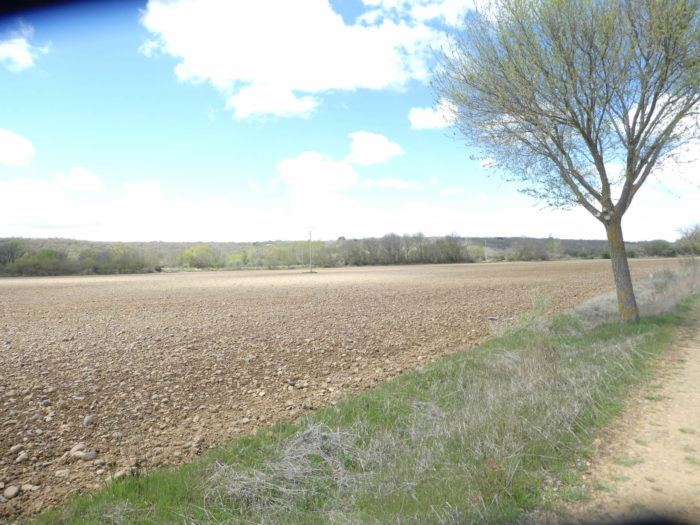
| Wherever the eye can see, it is always cereals as far as the eye can see. On the right of the pathway, where the highway runs in the distance, you can see the still snowy mountains of Cantabria. It’s still 60 kilometers from here, to the north. To tell you that the plain is wide here. Even the French, who are convinced that they have the largest plains in Europe, weep with vexation. |
 |
 |
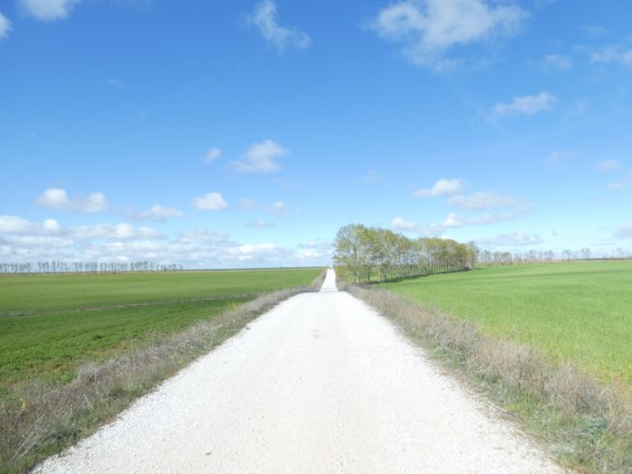
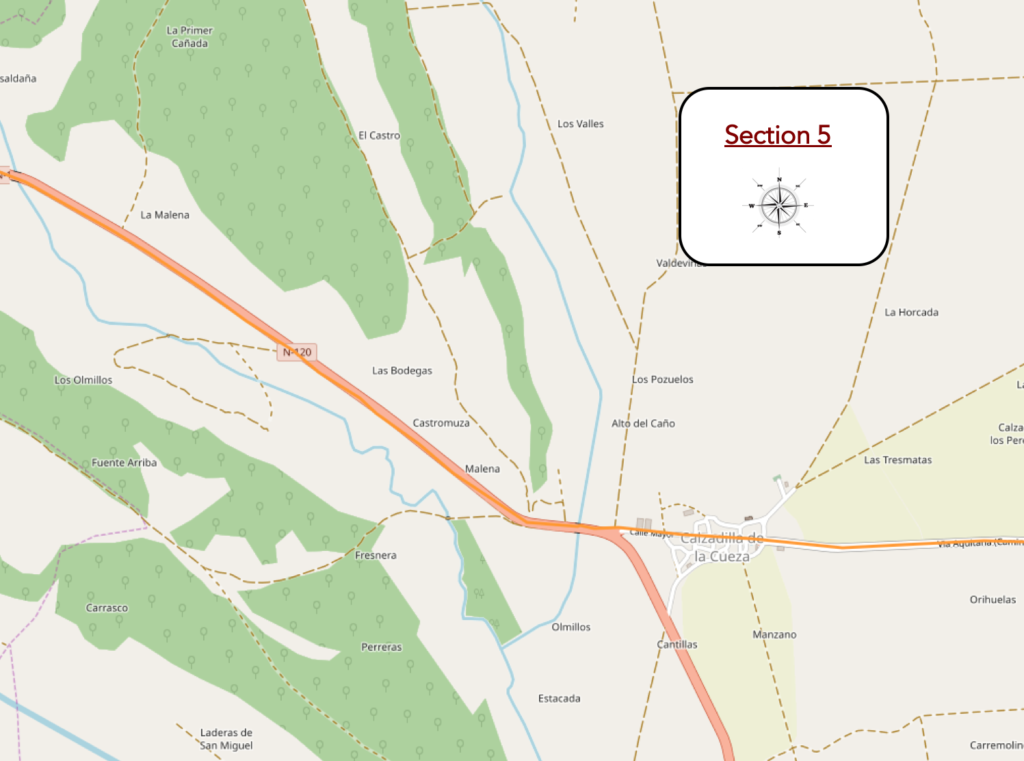
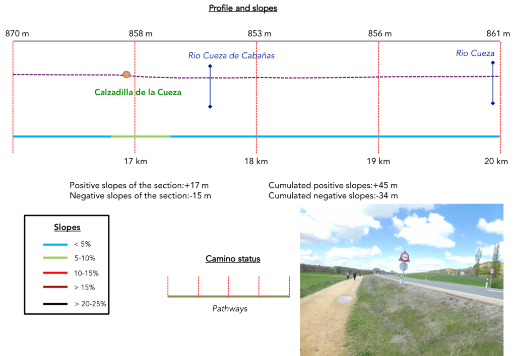
Section 5: After 17 kilometers, the pathway recovers a bit of civilization.
General overview of the difficulties of the routes: course without any difficulty.
| Then, you’ll see a point looming on the horizon, the origin of which you do not know. Could this be the village for so long hoped for? There is no landmark on the track that allows you to assess the number of kilometers already traveled. |
 |
 |
| The point is growing. It’s apparently a church, but you don’t see the village directly, because the village is just below a small mound. |
 |
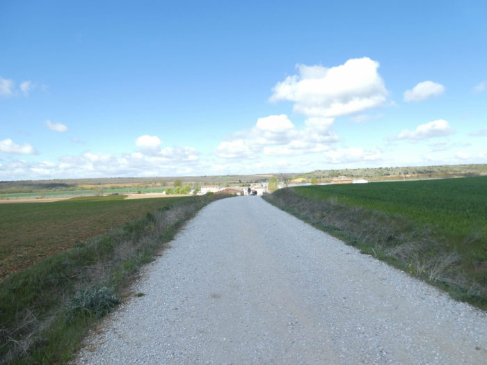 |
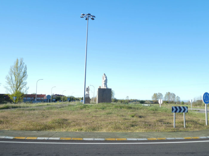
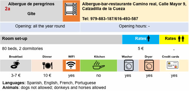
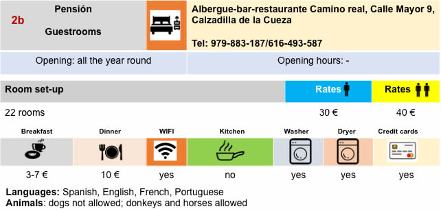
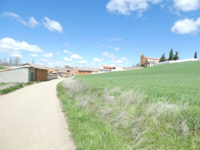
To tell you that the arrival at Cazadilla de la Cueza is greeted by many pilgrims as a celebration. You’ll be talking for a long time at the local bar, full of pilgrims, about performance, victory over adversity. All the same, it is not Annapurna. Many pilgrims will stop here today in the “albergue”.
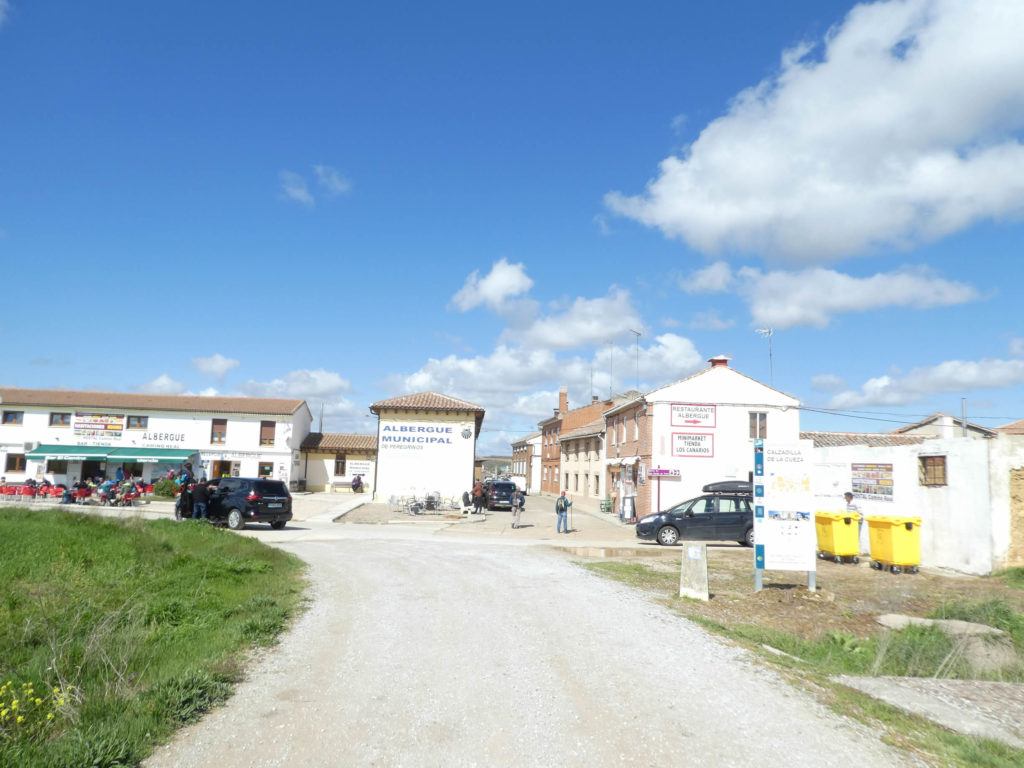
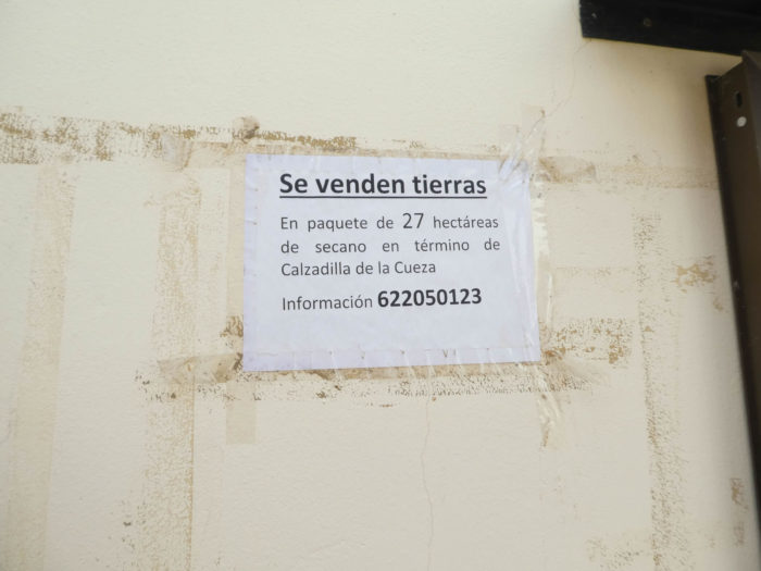
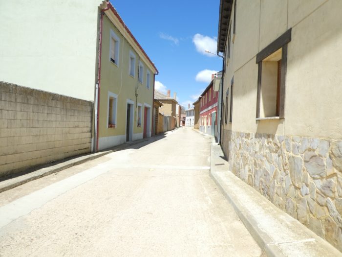
| In the first part of the name, Calzadilla is the diminutive of calzada (from the Latin calciata, which means road), in reference to the Roman road that ran through it. The last part of the name comes from the Río Cueza, shortly after on the course. The route crosses the village. Another village, where cob and exposed brick reign. If you want to invest here, here is a phone number. |
 |
 |
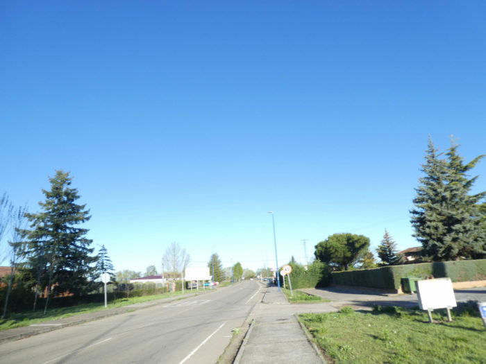
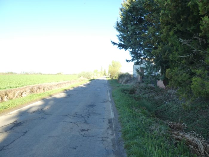
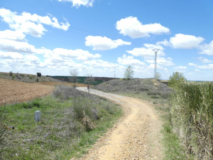
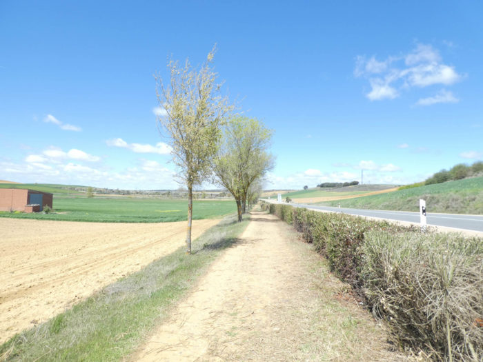
| Beyond the village, the Camino offers a choice. The first, which the vast majority of pilgrims choose, is that of the “Senda de peregrinos”, the pilgrim highway, along the N-120 road, which was believed to have been forgotten forever; the second a little longer, makes detours in the fields and returns to Ledigos further. Here, they have removed the track tags, a clear sign that the organizers probably prefer to see the pilgrims channeled, aligned in rows like to start the war. Here, we will not choose the variant. So, it’s no surprise that you’ll find again, we will not say with great pleasure, the N-120 road. Immediately after the village, the path crosses a tributary of Rio Cueza. |
 |
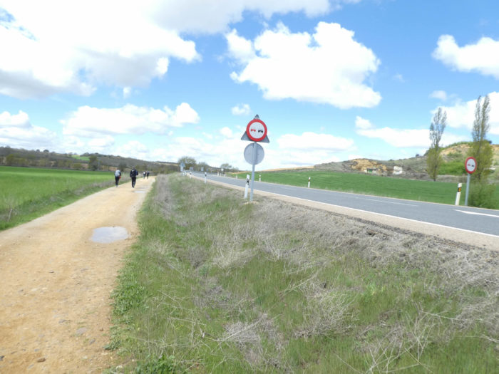 |
| On this “pilgrim highway”, the pathway narrows, separated from the road and fields by a strip of grass and weeds. You leave the long, dreary plains for a country of small dunes. |
 |
 |
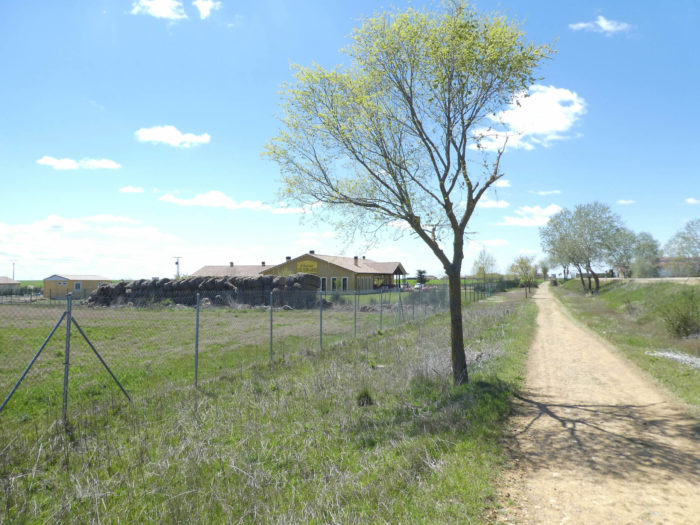
| Here, a shed lost far from the village. It is a rare fact to report. In this eternity, you sometimes focus on insignificant details. |
 |
 |
| The traffic is insignificant on the national road. It should be noted that you are close to the highway. Sometimes the brambles invade the broom of last fall. Here, the poplars are still awaiting the arrival of spring, as are the plowed fields. The ground is pebbly as desired, which is no longer true for the pathway that has been cleared for the happiness of pilgrims. Further afield, the Camino crosses Rio Cueza. |
 |
 |
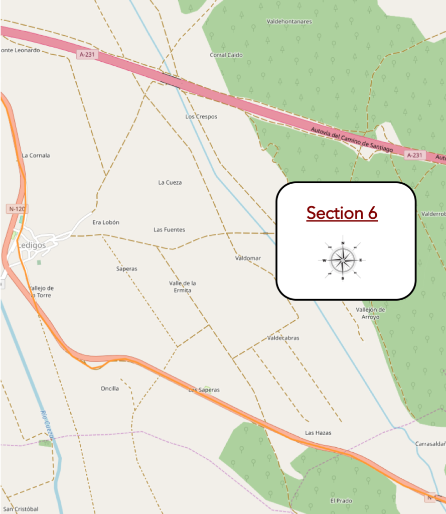
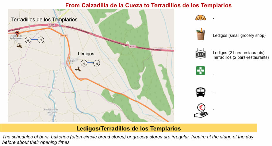
Section 6: Ledigos, for pilgrims who have decided to go further than Cazadilla de la Cueza.
General overview of the difficulties of the route: course without any difficulty.
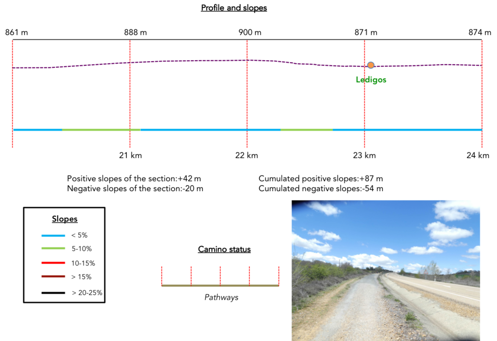
| As soon as you pass the bridge over the river, the pathway continues to climb gently along the road. Here it’s not spring yet and many trees have not yet put their foliage down. It must be said that we are almost 900 meters above sea level, in a muggy spring. |
 |
 |
| In the gloomy hedges, the vegetation is hardly more advanced, in the middle of the dead bushes. |
 |
 |
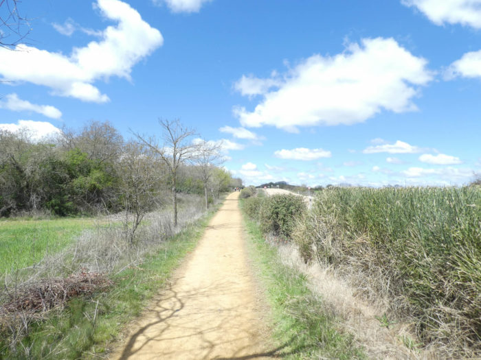
| Further up, the pathway climbs a little on the ocher soil, sometimes like sand, sometimes a little stonier. |
 |
 |
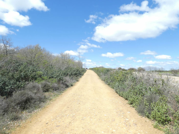
| Then, it makes a few turns near the hills, a sign that Meseta is not always flat like a whistle. |
 |
 |
| Soon thereafter, the pathway slopes down between the brooms on the ocher ground towards Ledigos village. |
 |
 |
| The pathway crosses the N-120 road to reach the village. Ledigos owes most of its history to the Camino de Santiago. There was once a pilgrim hospital here. A church, the Church of Santiago, rejuvenated over the years is high on the hill. |
 |
 |
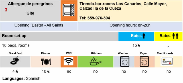
| It is still a poor village, made of cob and exposed brick. Many pilgrims will stop here, because the “albergue” are not legion in the region. More and more establishments are now reserving, and the frantic race to arrive first has nevertheless melted onto the Camino francés. But in regions with poor housing, such as here, the competition remains. Other pilgrims will continue to Terradillos de Los Templarios, or even further. |
 |
 |
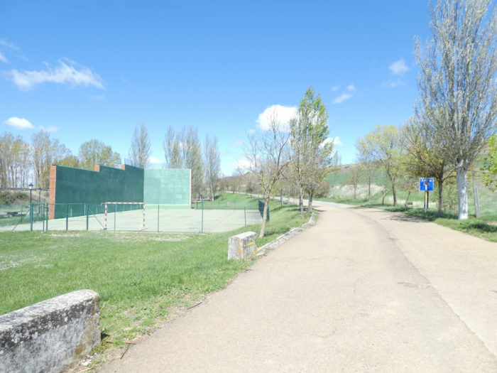
| Spaniards play massively padel, a racket sport derived from tennis, which is played on a court framed by walls or fencing, in a manner quite similar to squash. The Camino leaves the village to find the N-120 road higher up. |
 |
 |
| Here, the vegetation changes a little. Next to the eternal poplars, you’ll see a few linden trees, but especially maple trees, which have not yet put their leaves and whose achenes are still hanging on the bare branches. |
 |
 |
| Further on, the Camino crosses the N120 road again and continues along the road. |
 |
 |
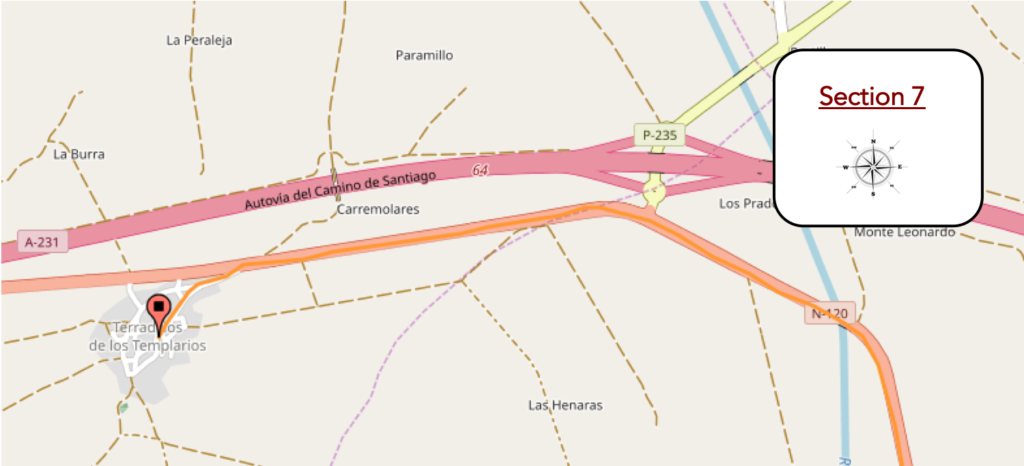
Section 7: A short visit to the Templars.
General overview of the difficulties of the route: course without any difficulty.
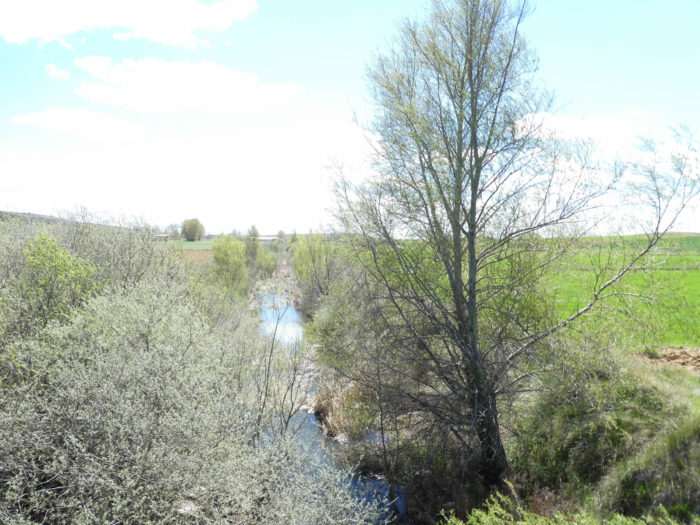
| Shortly after, the pathway gets closer and closer to the motorway. For the first time today, you’ll hear a little more the hum of the engines. However, the highway does not cross a very populated part of Spain. In spring, the traffic is discreet, which is not the case in the summer when the hordes of beach attendants cross the country. Further afield, the pathway crosses Rio Cueza again which is lost in the vegetation. |
 |
 |
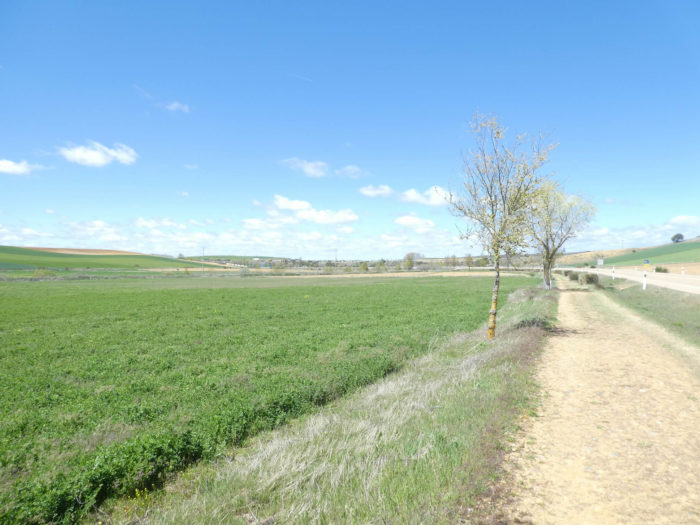
| Quickly you are back to the “senda de peregrinos”, along hedges, black poplars and maples, a stone’s throw from the motorway. |
 |
 |
| Here, you are 80 kilometers to León by road, when the pathway reaches the outskirts of the village. |
 |
 |
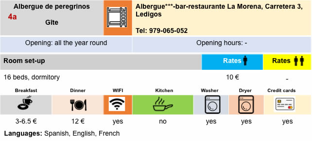
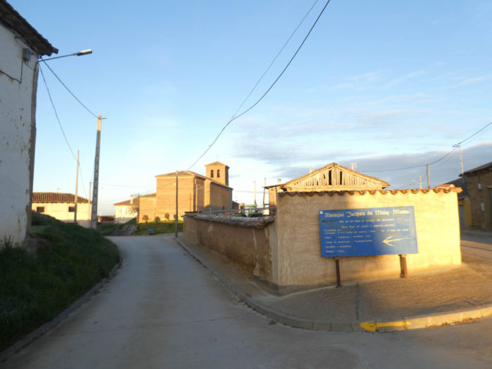
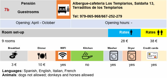
| The village is halfway between Saint Jean Pied de Port and Santiago. Others generally say that Sahagún, 13 km west of here, is the geographical center of the Camino. The first part of the name means “small roofs or earthen terraces”, but could come from the fact that the village is on a small hill, in the Tierra de Campos. The last part is due to the fact that the Templars had a monastery near here. There is not much to do in Terradillos de Los Templarios, day or night. It is still a fairly poor village, made of cob, or brick houses grouped around. |
 |
 |
 |
 |
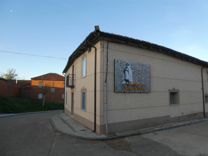
| Time has probably stood still for a long time in Terradillos de Los Templarios, and there is no longer any trace of the Templars, except on the name of the signs of the village “albergue”. All the admirers of the Order of the Templars, and there are still some today, know Jacques de Nolay, who lives again here, the 23rd and last master of the order, executed by Christianity, after having been condemned to the stake in Paris for so-called heresy and obscene practices at the beginning of the XIVth century. |
 |
 |
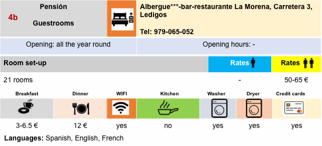
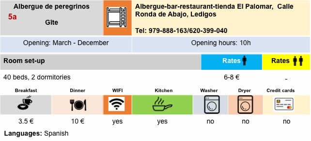
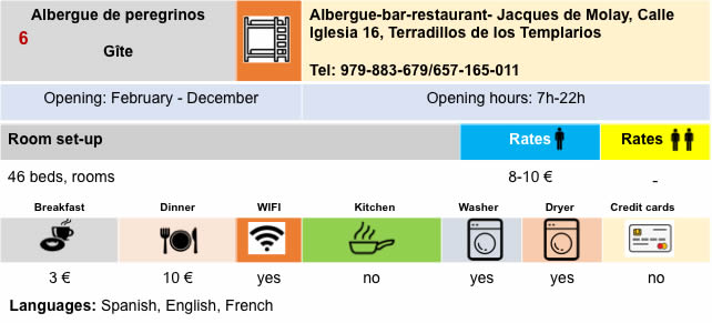
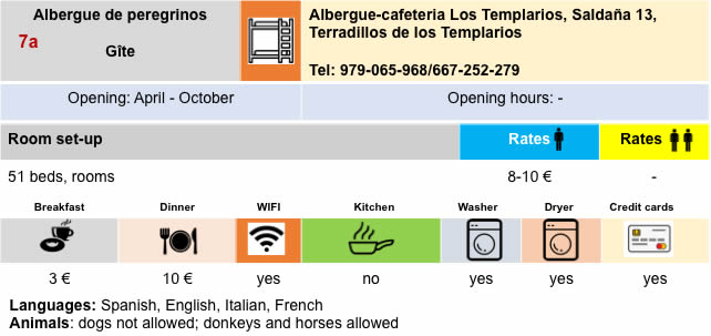
Lodging
Feel free to add comments. This is often how you move up the Google hierarchy, and how more pilgrims will have access to the site.
|
 |
Next stage : Stage 18: From Terradillos de Los Templarios to El Burgo Ranero |
|
 |
Back to menu |