Do you sincerely believe that everything is “true” here?
DIDIER HEUMANN, ANDREAS PAPASAVVAS
We divided the course into several sections to make it easier to see. For each section, the maps show the course, the slopes found on the course, and the state of the Camino. The courses were drawn on the “Wikilocs” platform. Today, it is no longer necessary to walk around with detailed maps in your pocket or bag. If you have a mobile phone or tablet, you can easily follow routes live.
For this stage, here is the link:
https://fr.wikiloc.com/itineraires-randonnee/de-terrasillas-de-los-templarios-a-el-ranero-par-le-camino-frances-36293453
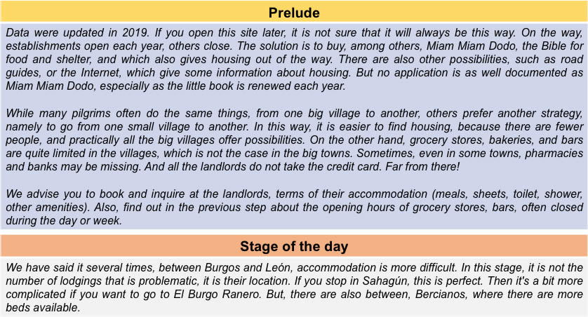
It is obviously not the case for all pilgrims to be comfortable with reading GPS and routes on a laptop, and there are still many places in Europe without an Internet connection. Therefore, you will find a book on Amazon that deals with this course. Click on the title of the book to open Amazon.
If you only want to consult lodging of the stage, go directly to the bottom of the page.
The Camino francés was declared the first European route of cultural interest by the Council of Europe in 1987, considered as World Heritage by UNESCO. We’ve said it before, but it’s good to repeat it here before walking on the “real camino”. The XIIth century route, which will become the Camino francés, is very marginally described in the Codex Calixtinus, the Liber Sancti Jacobi preserved in the Cathedral of Santiago. The experts agree to date the first manuscript around the year 1140, with additions during three centuries. It’s not the Michelin Guide on the way. Far from there! We said it too. The error is to make believe that this pilgrimage guide, known only since the XXth century by a French translation, was widely distributed in the Middle Ages, which is fully wrong. This book never actually left the archives of the Cathedral of Santiago.
All this to tell you that the “real camino” is a big approximation, even a deception. In Spanish “real” means “true” or “royal”. Rest assured, there is nothing royal here, and probably nothing entirely true either. Whether the track went somewhere here, there is little reason to doubt it. But to baptize all this circus of “true”, Spanish gentlemen, you overstate. However, the Spanish love tourism and pilgrims love stories. So, they have used the term “real” here. All of this is marketing, as is actually the way to Santiago today.
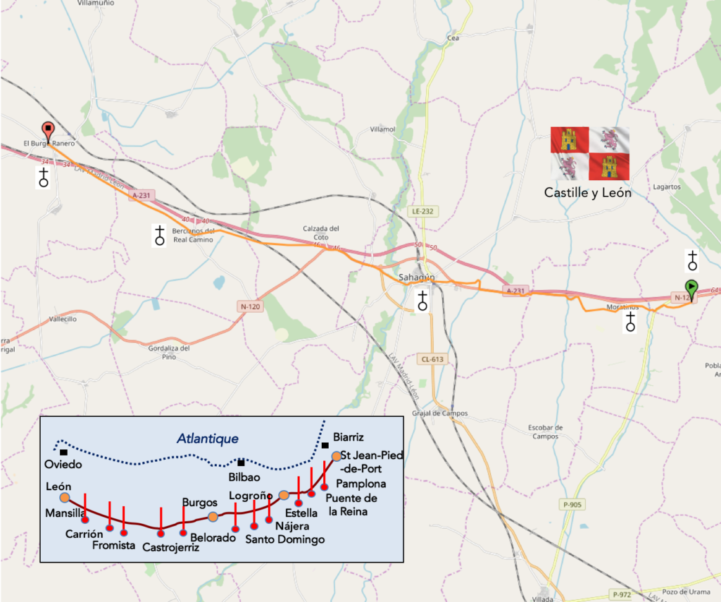
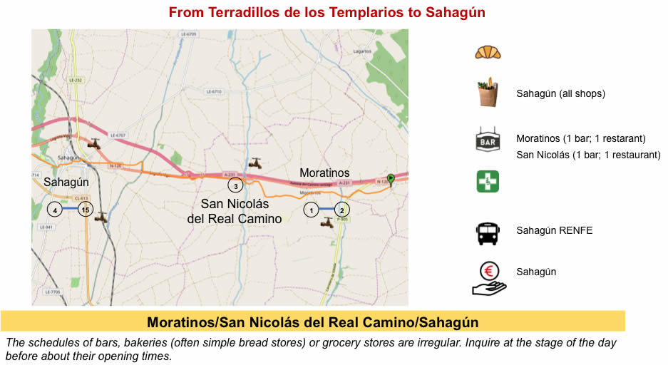
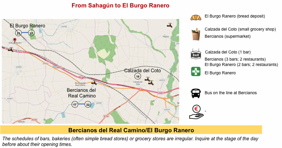
Here, in this long crossing of Meseta, everything is a question of how you cut the stages and the state of your legs or your joints. El Burgo Ranero is almost 30 kilometers from Terradillos de Los Templarios. But this is not a big deal. It’s a ride. The problem here is finding accommodation, without racing against the clock. So many pilgrims often take advantage of stopping halfway in Sahagún. Why not? Even the train on the León-Burgos line stops here.
Difficulty of the course: Slope variations (+165 meters/-167 meters) are insignificant for such a long stage. At no point along the route the slope reaches 10%.
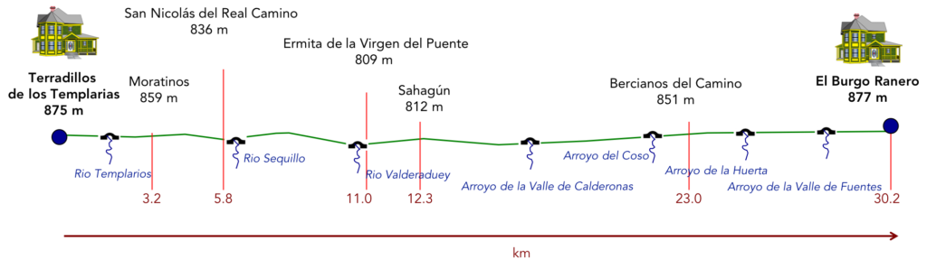
And everything happens on the pathways. What a dream!:
- Paved roads: 3.0 km
- Dirt roads: 27.2 km
We made it all the way to León in one go, in a cold, rainy spring. From then on, many stages were made on soggy ground, most often in sticky mud.
It is very difficult to specify with certainty the incline of the slopes, whatever the system you use.
For “real slopes”, reread the mileage manual on the home page.

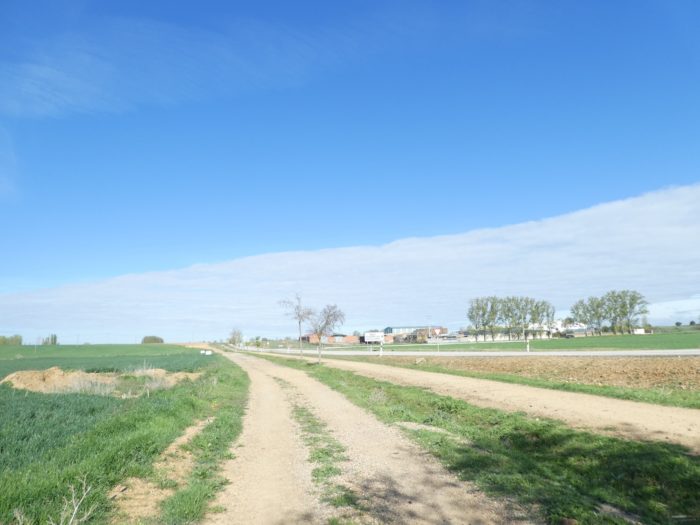
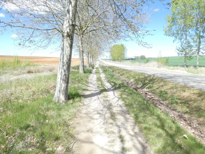
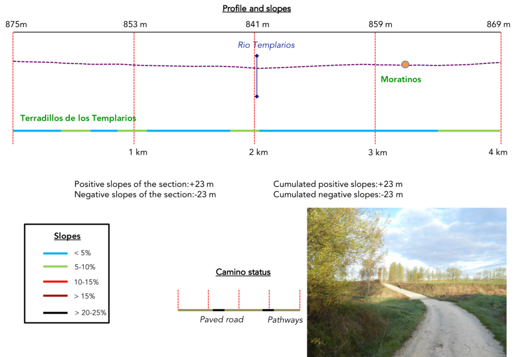
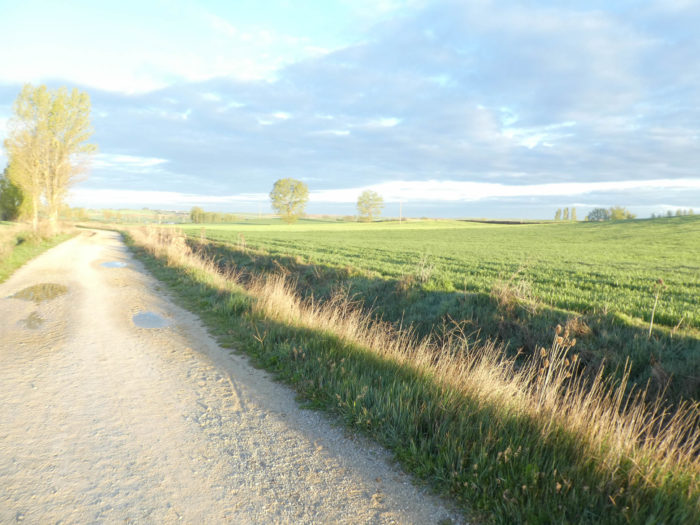
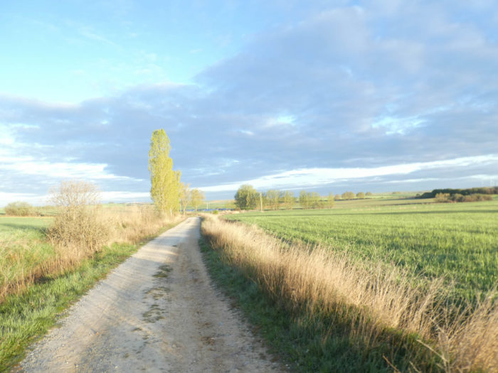
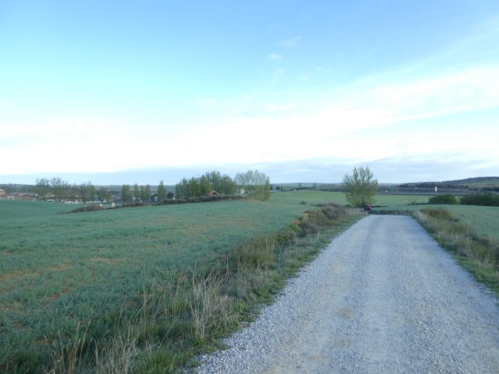
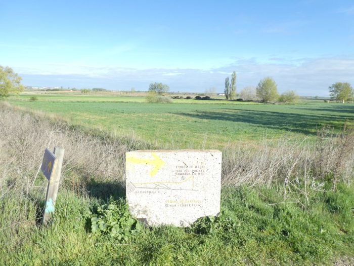
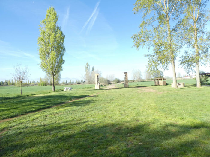
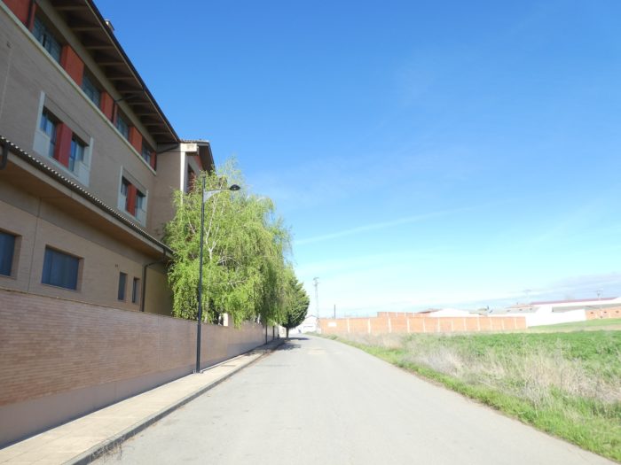
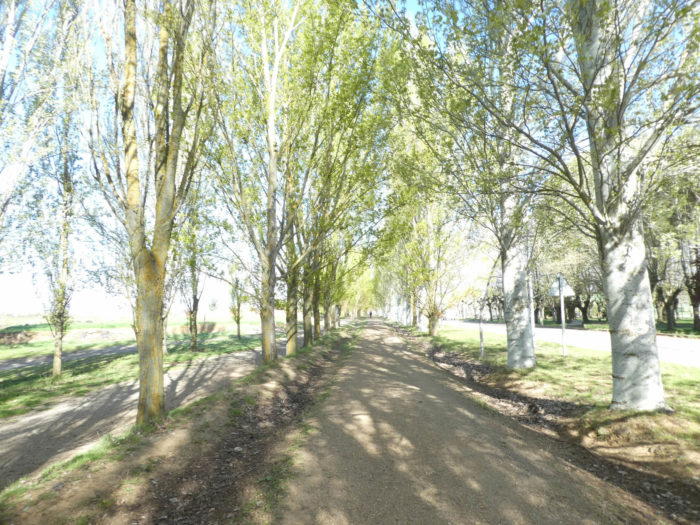
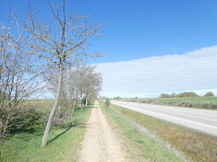
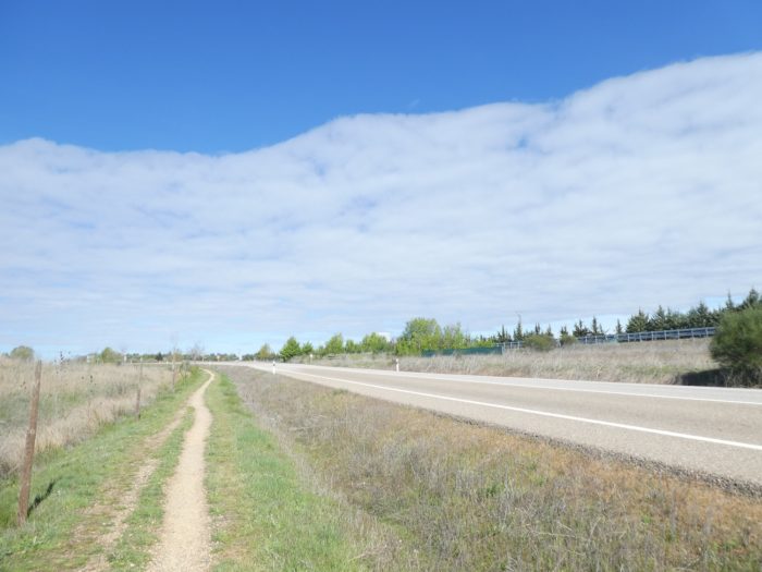
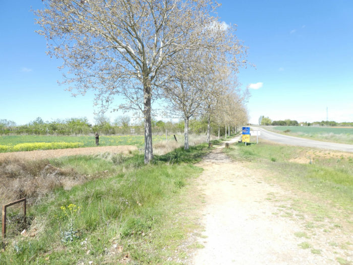
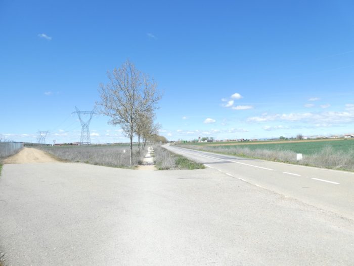
Section 1: Return for a short time in nature.
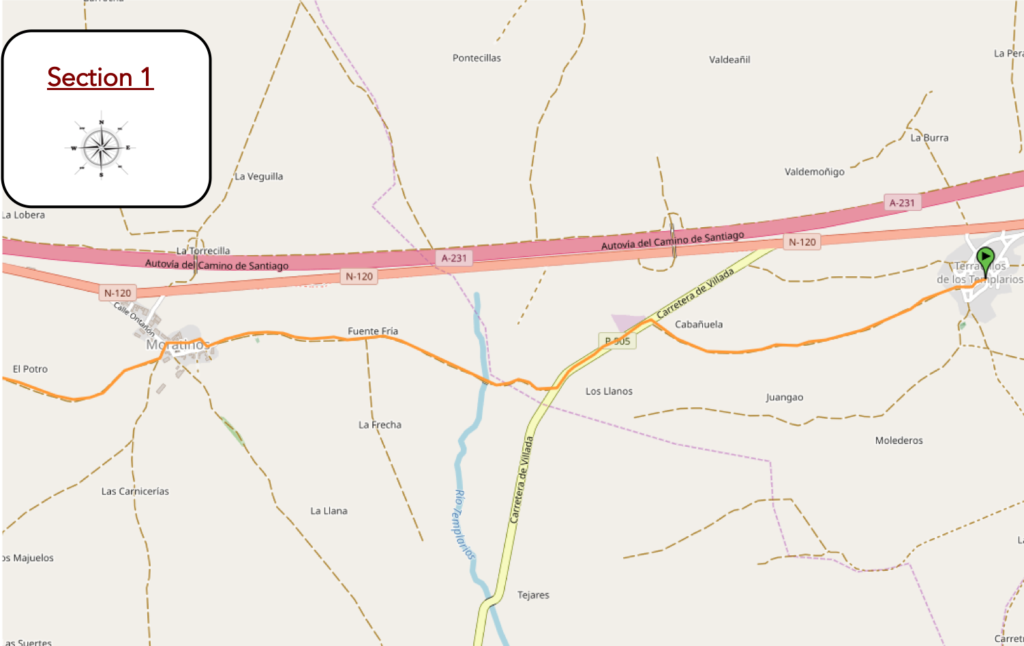
General overview of the difficulties of the route: course without any difficulty.
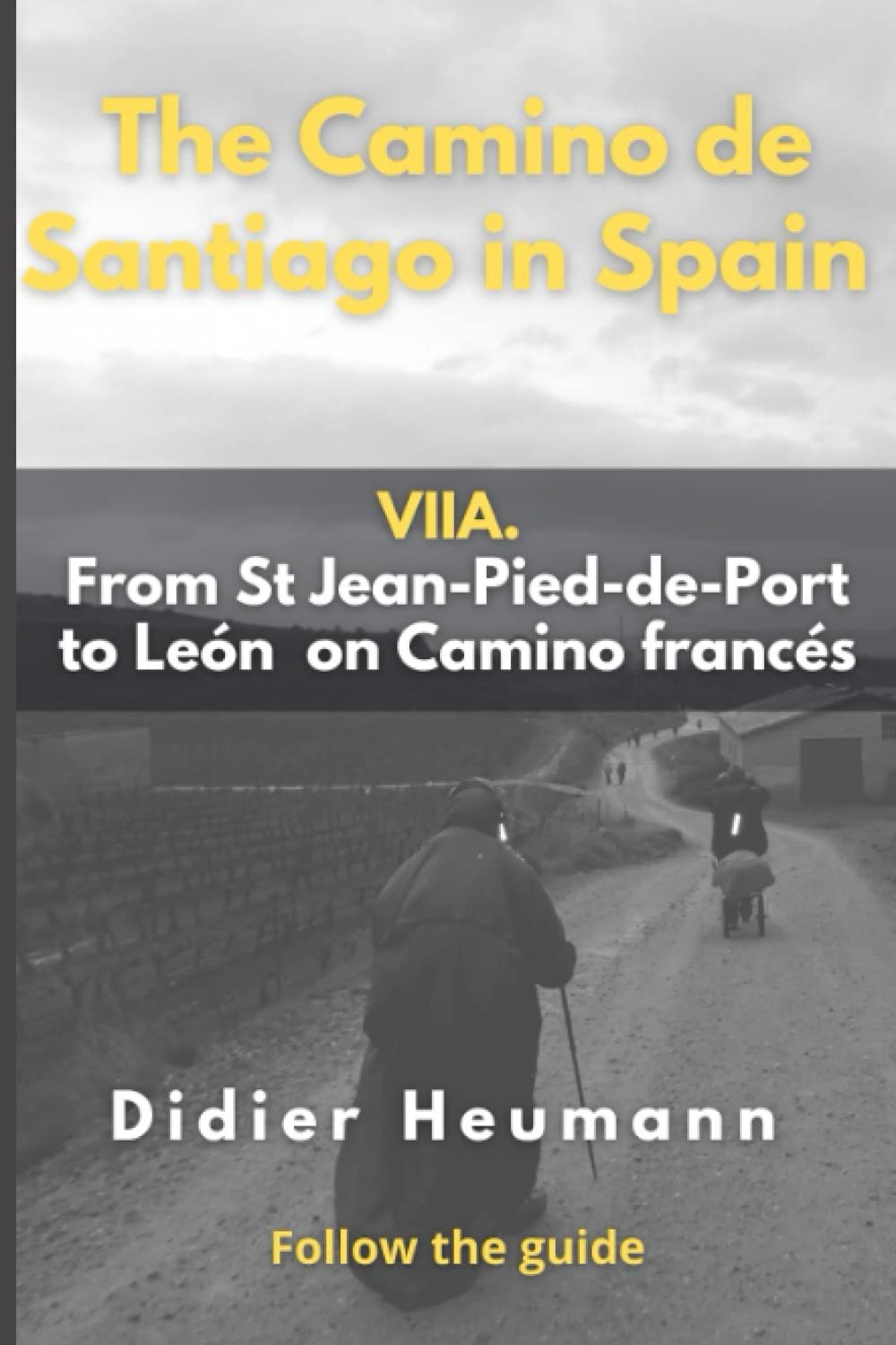
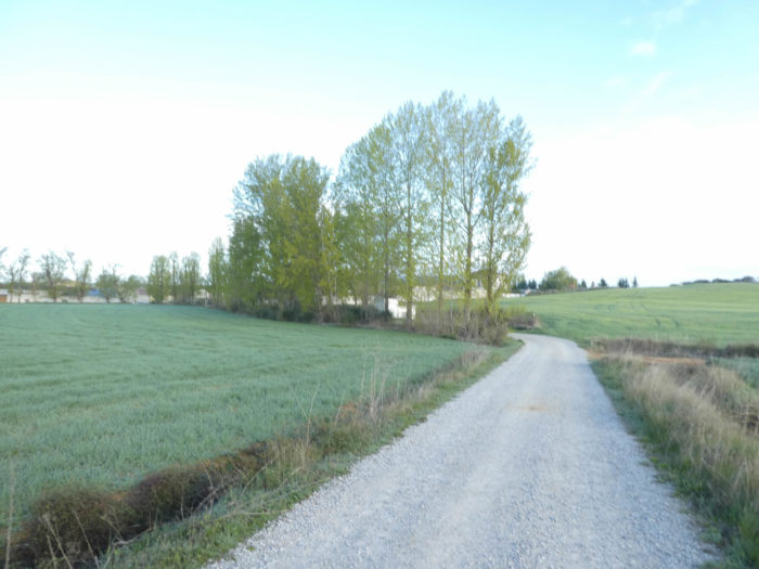
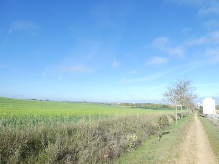
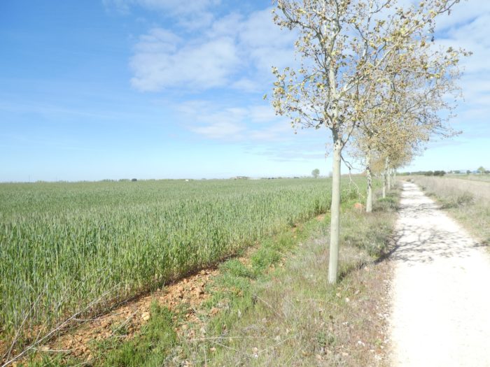
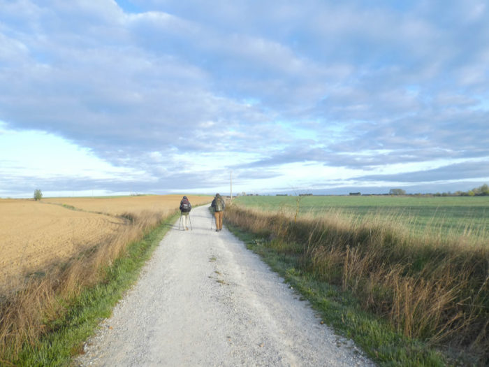
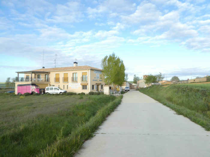
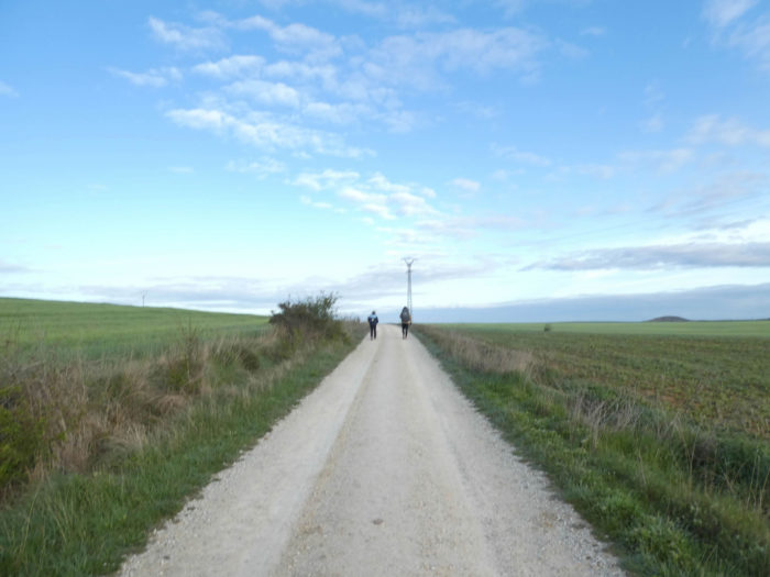
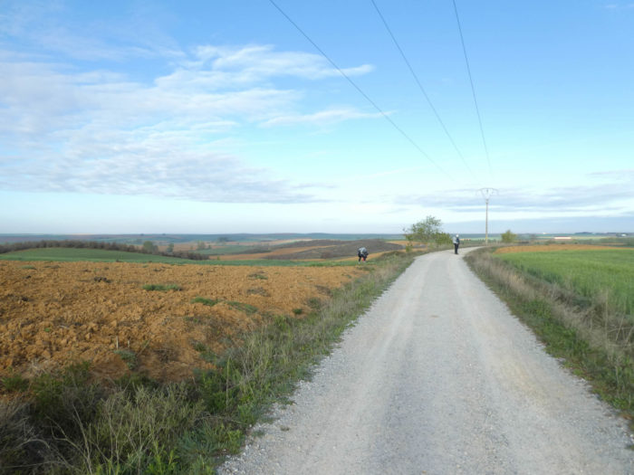
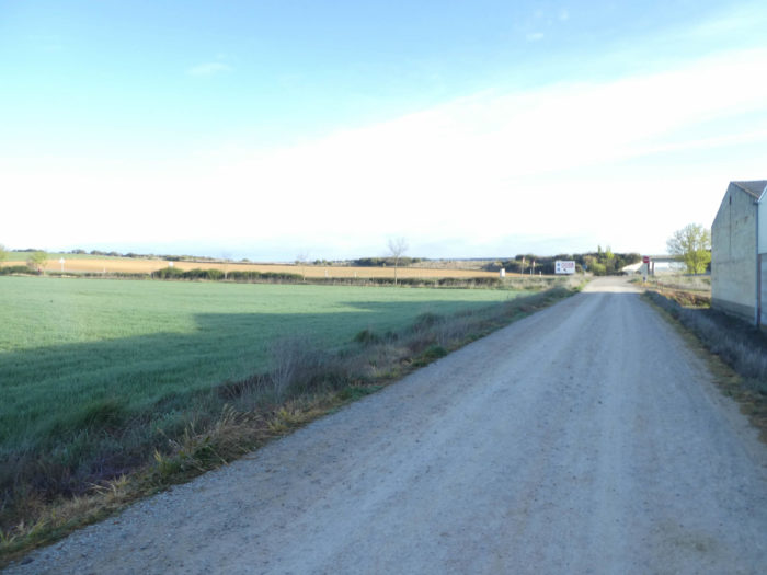
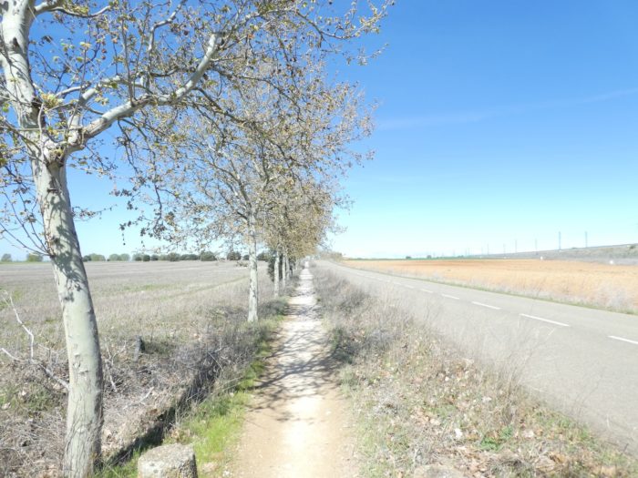
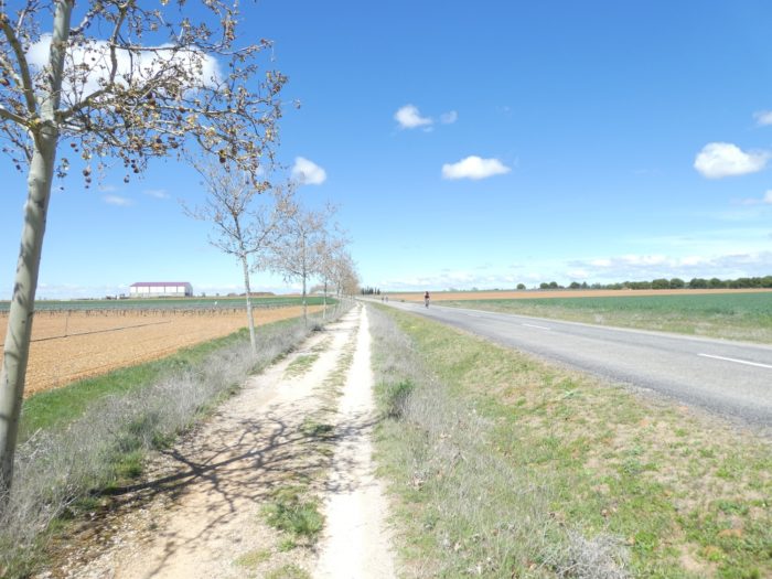
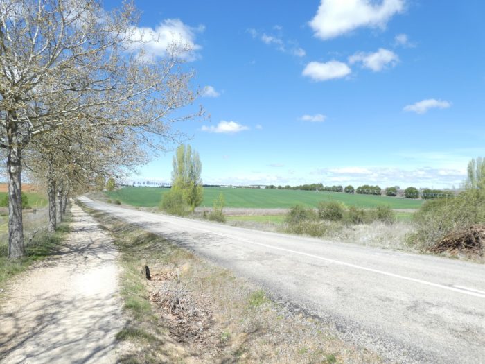
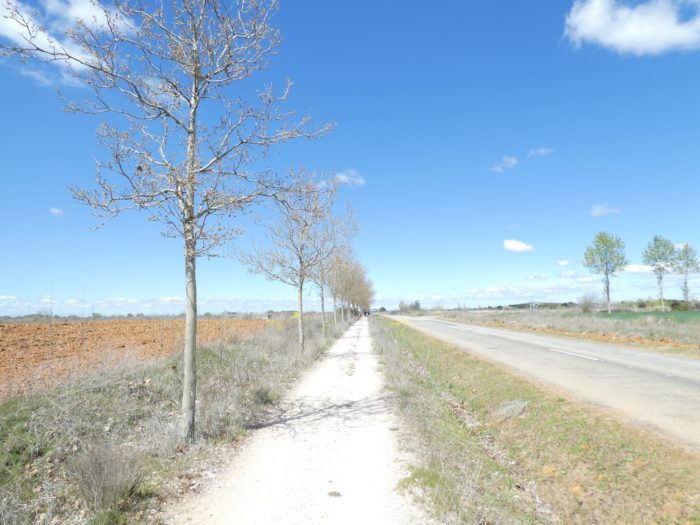
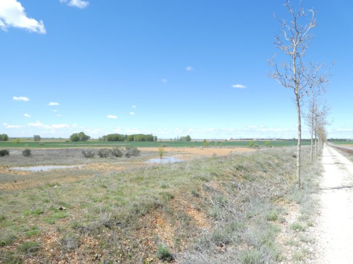
| This morning it is still sunny on the Meseta, and the long crossing of the fields will be all the more pleasant. The Camino quickly leaves Terradillos de Los Templarios to be surrounded by nature. |
 |
 |
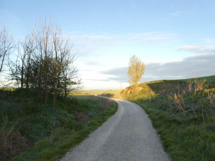
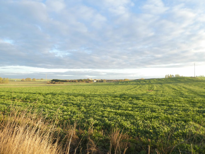
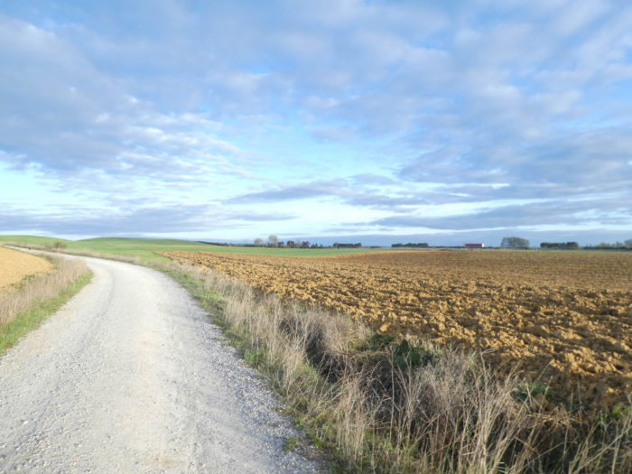
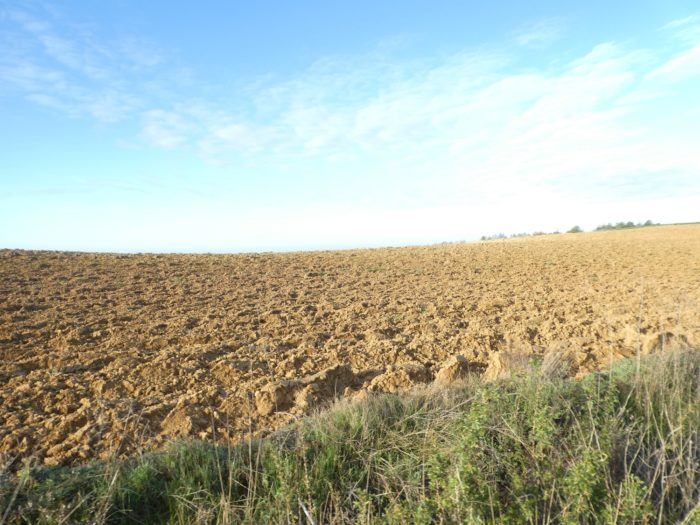
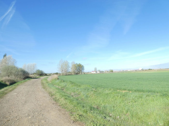
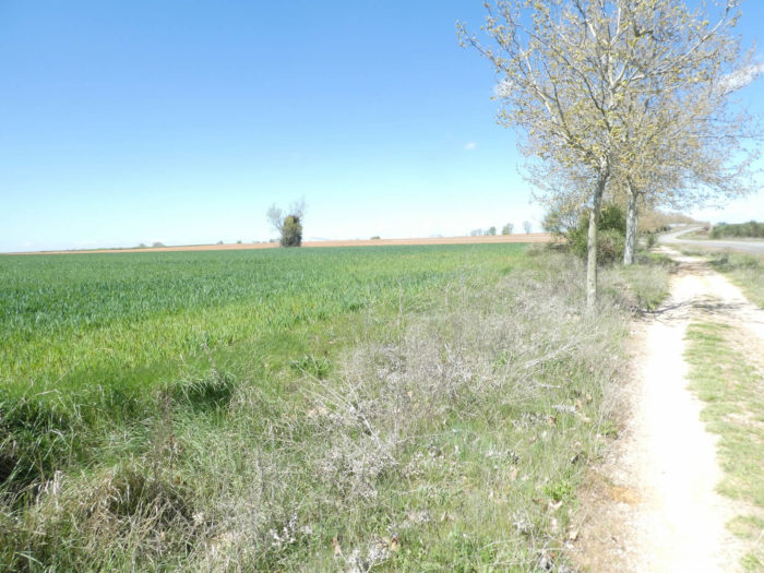
| Wheat fields and fallow land shine even more in the warm light of the rising sun. In the distance stand wind turbines in this country where the wind blows almost all the time, which often comes from the west and calms down a bit in good weather. |
 |
 |
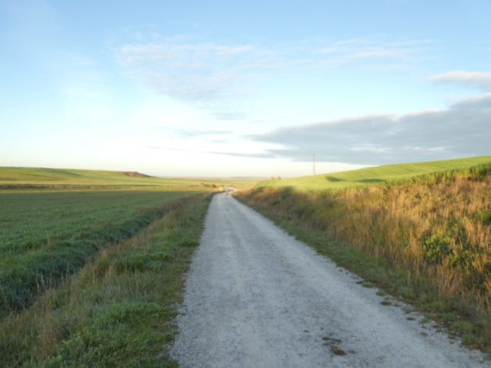
| The sun must still heat here, right? |
 |
 |
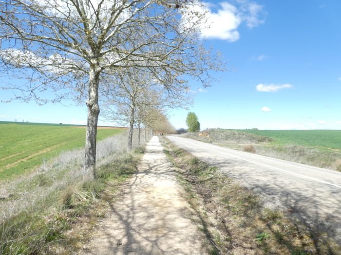
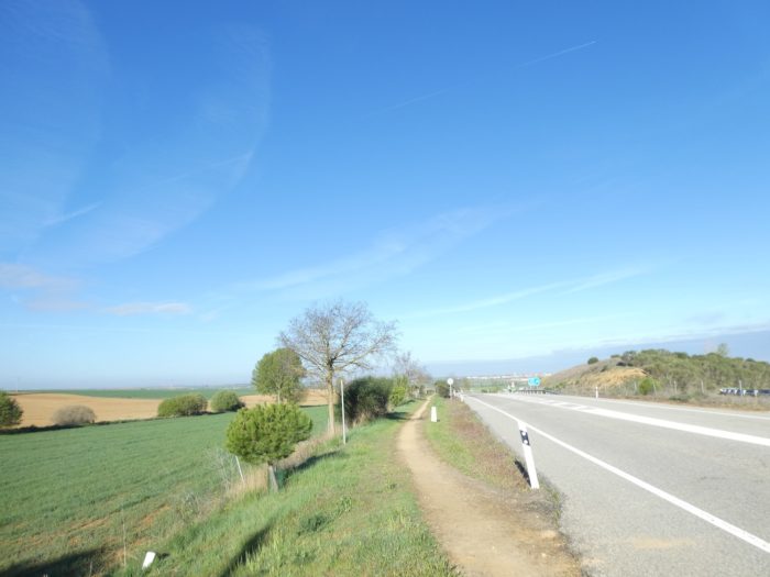
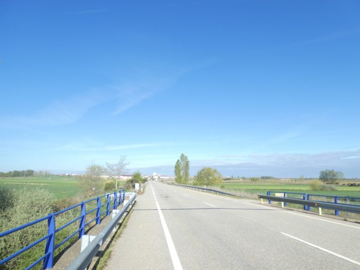
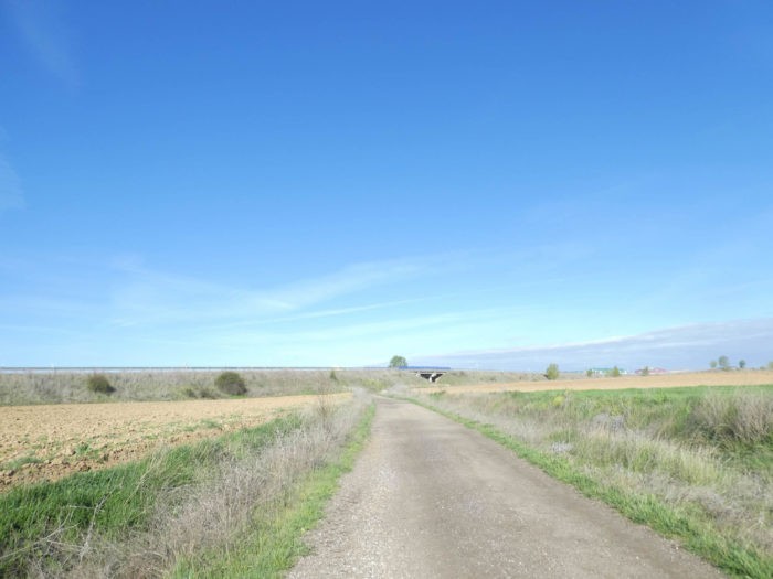
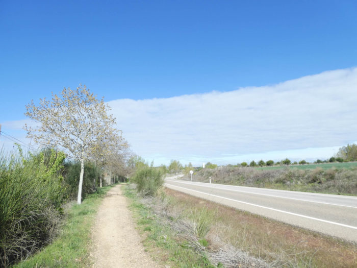
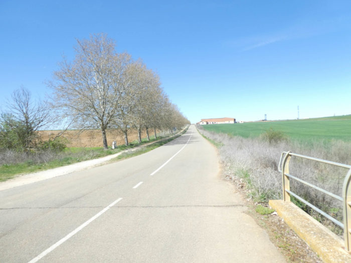
| Further ahead, for a few short moments, the Camino will transit over the tar. |
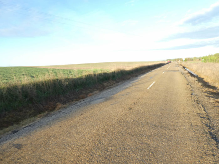 |
 |
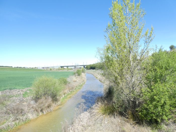
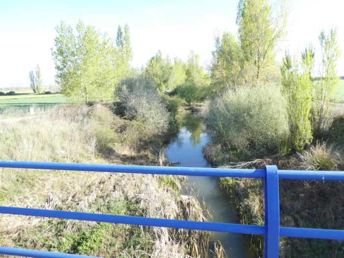
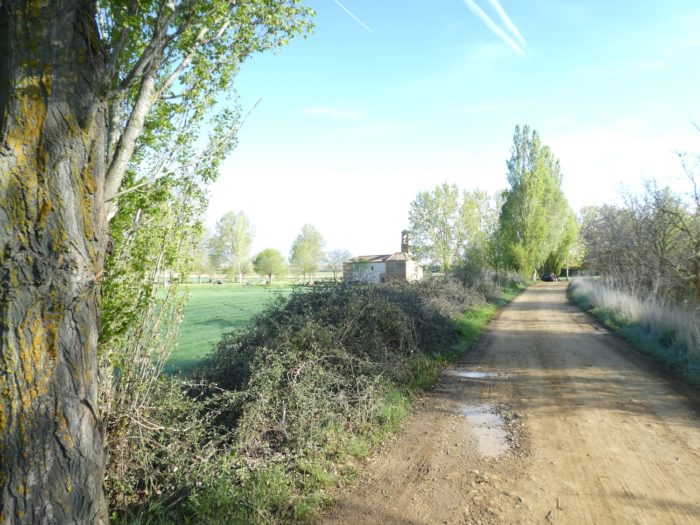
| But, quickly, the pathway reasserts itself to find the Rio Templarios, which you can hardly guess under the black poplars. |
 |
 |
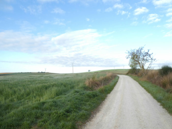
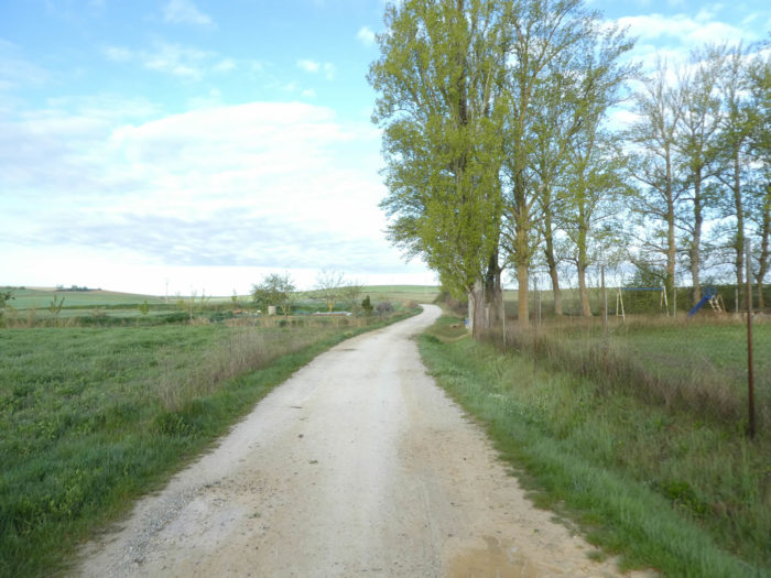
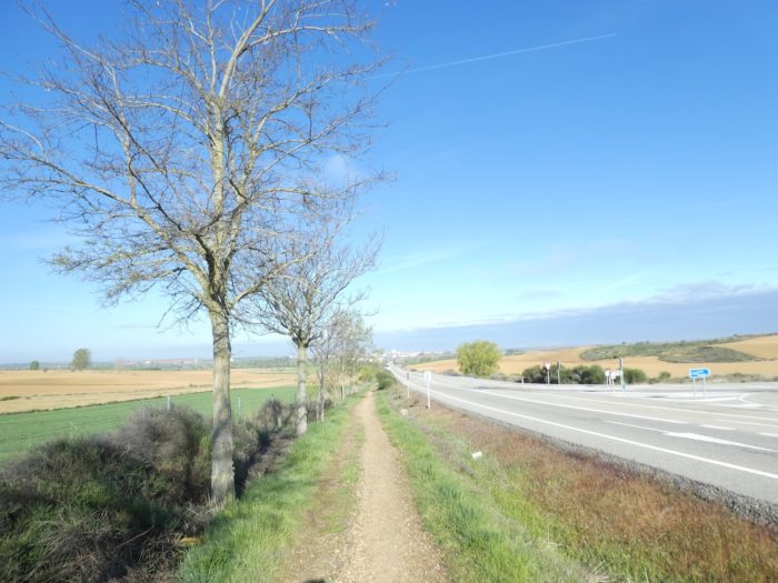
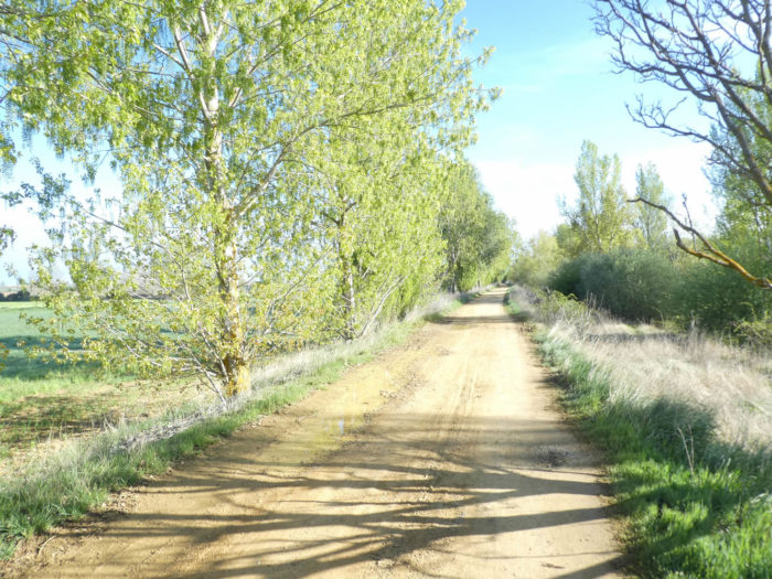
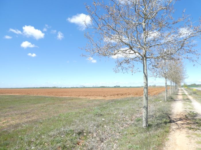
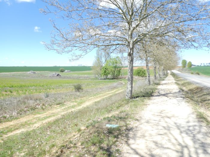
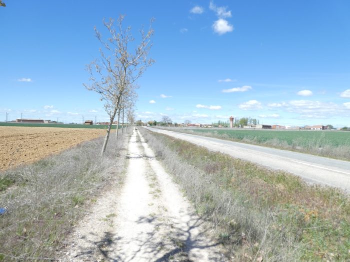
| The pathway then returns to the vastness of the fields, in a much more charming landscape than in the previous stages. |
 |
 |
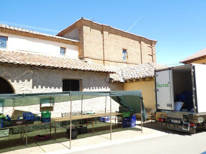
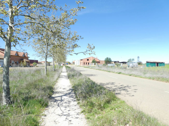
| Further on, appears the village of Moratinos in front of you, about twenty inhabitants all year round. |
 |
 |
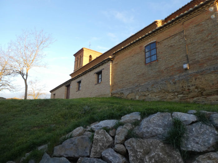
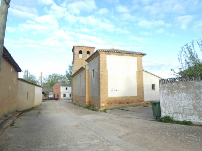
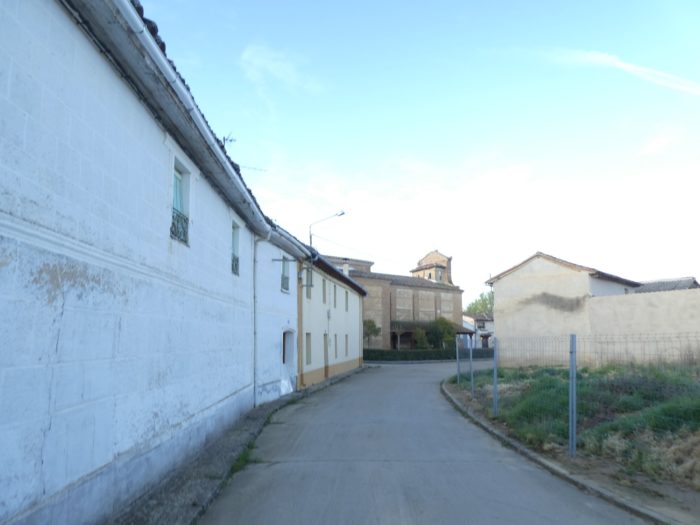
| In all these villages, whatever their size, there are always the inevitable “albergue”and the church. The Camino is a fundamental and significant means of subsistence for these small countries. The church of Saint-Thomas d’Aquin, closed, was built between the XVIth and XVIIth centuries, in brick. |
 |
 |
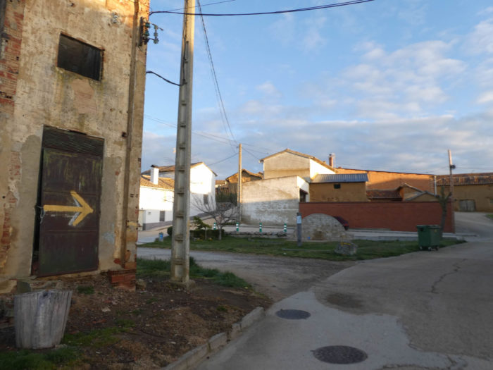
| Beyond the village, the Camino immediately finds the fields. The village is known for its bodegas on the hill, but the Camino does not run there. |
 |
 |
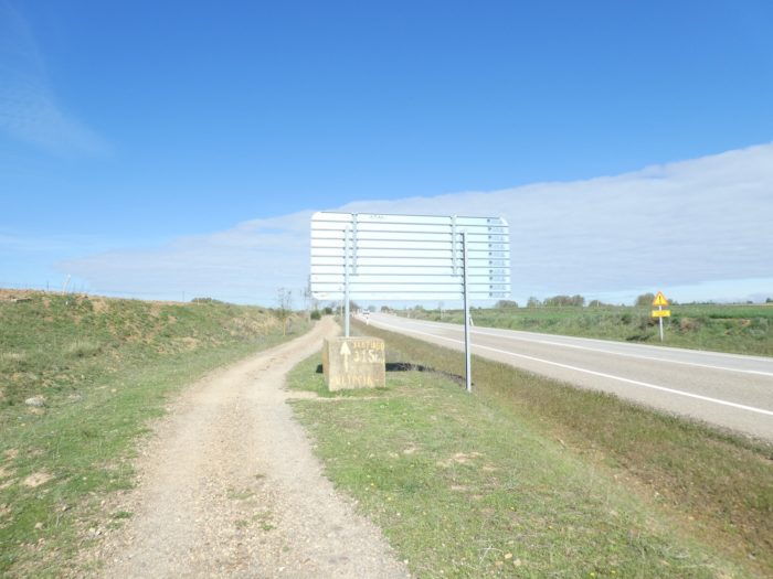
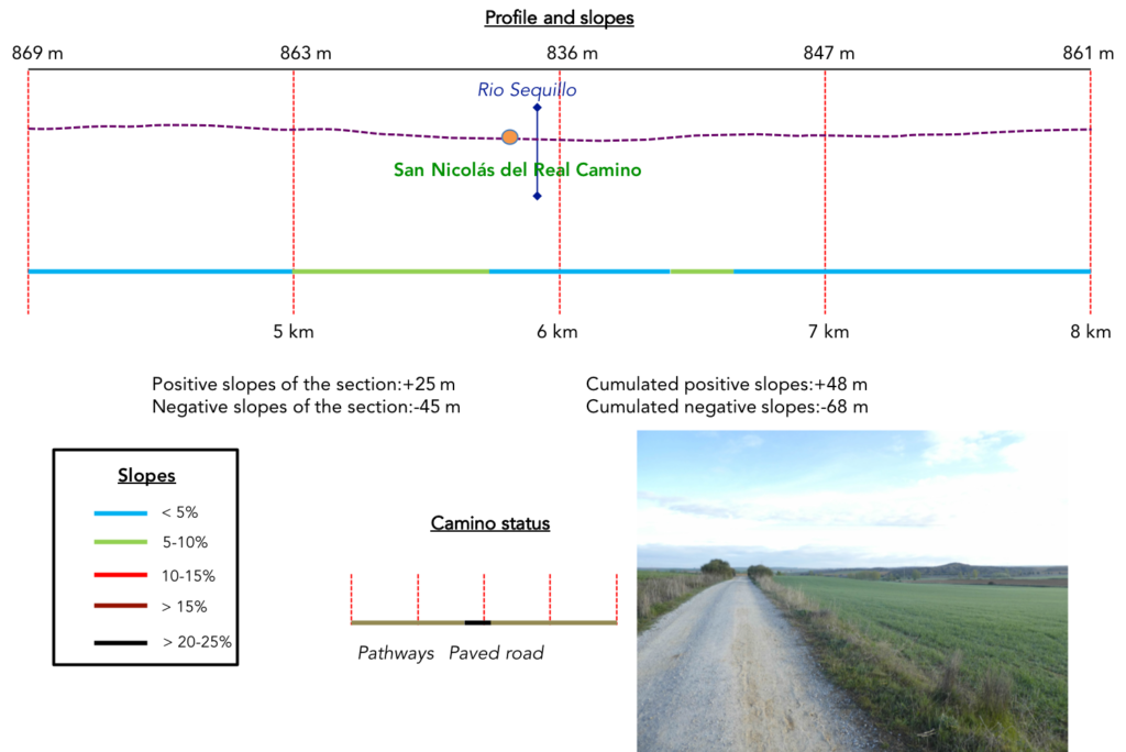
Section 2: Real Camino, a “royal” or “true” track?
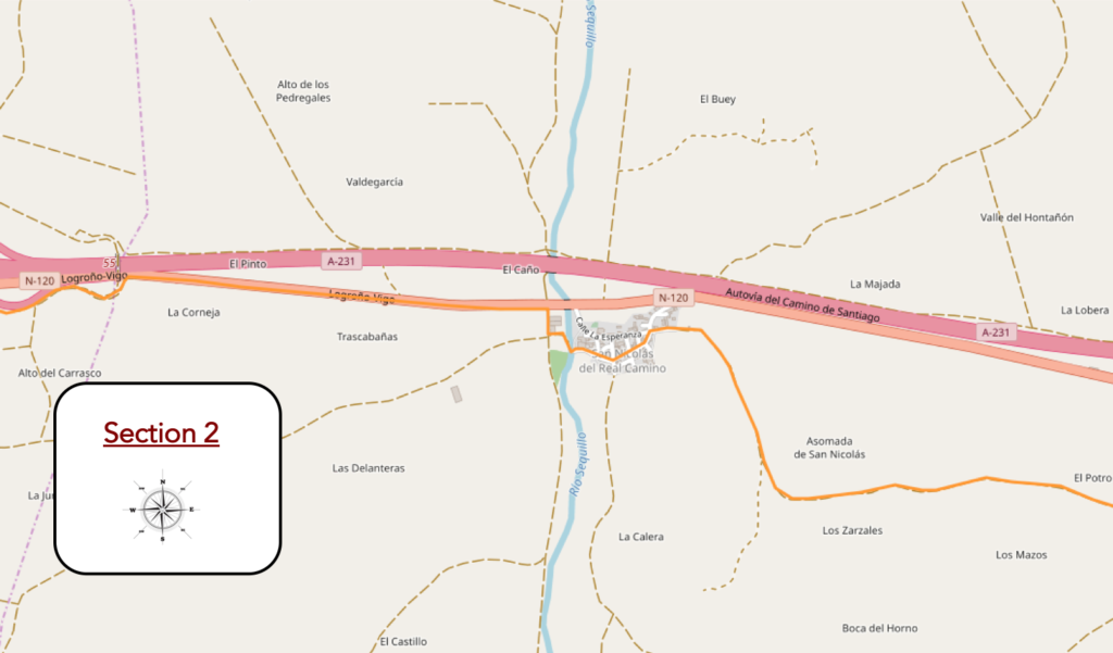
General overview of the difficulties of the route: course without any difficulty.
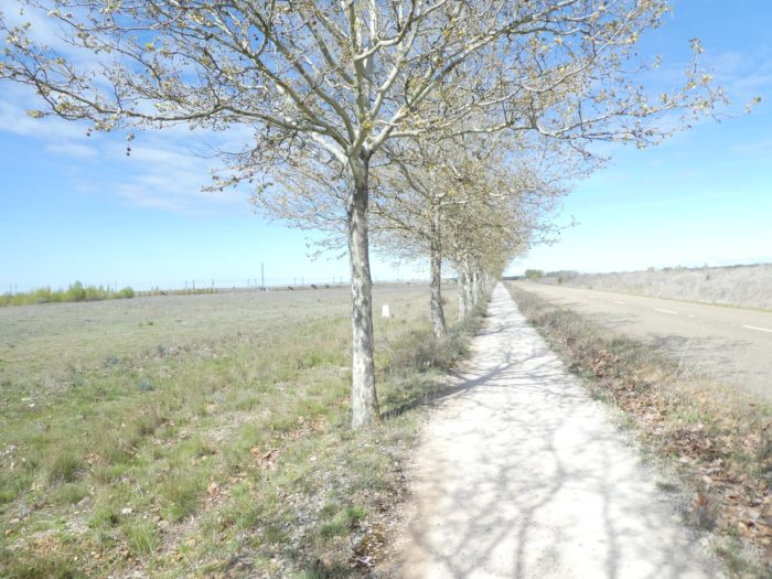
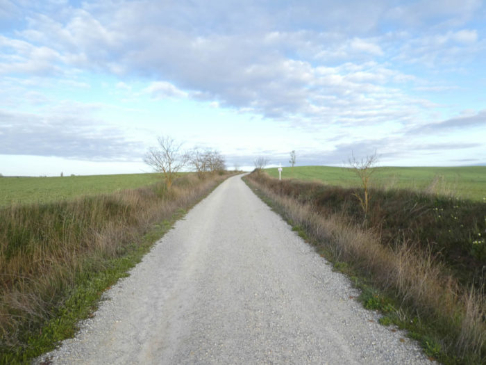
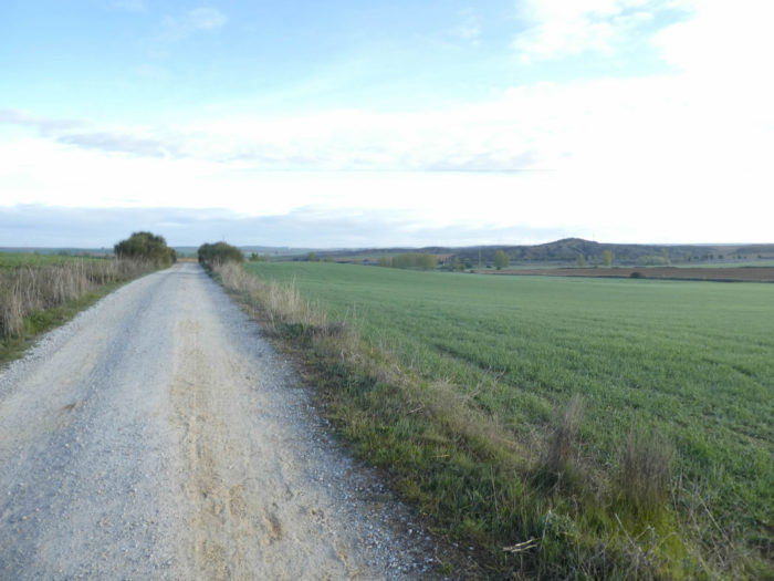
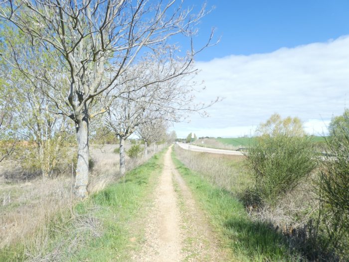
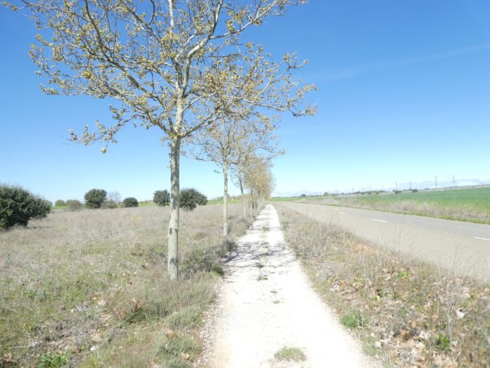
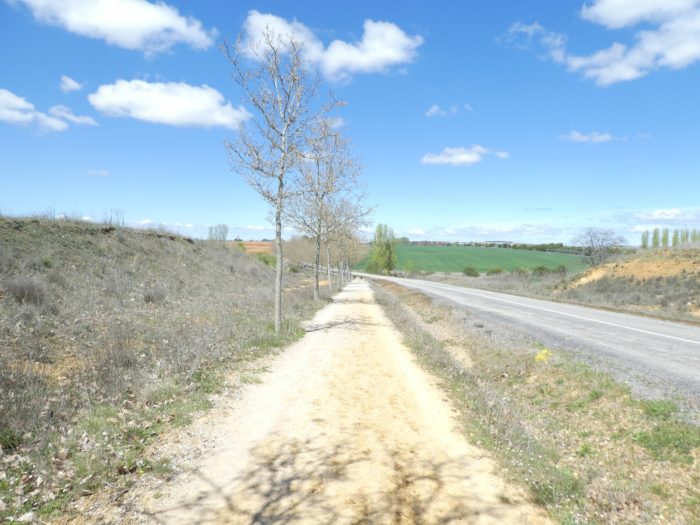
| In the stage of the day, the country is hillier than before, and the pathway runs from a small hill to another, but the slopes are hardly more than 5%. |
 |
 |
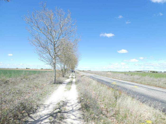
| This is the first time since our departure that we have seen raised wheat. In these regions, small differences in temperature or altitude can make the difference. |
 |
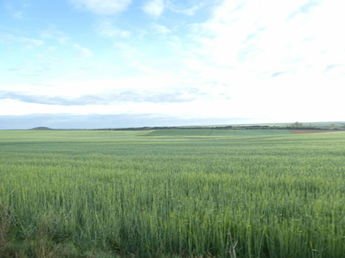 |
| In this country where the earth and the sky are one, where the horizon line is often melted in the vastness, you sometimes see a few vine stocks lost between the cereals and the plowed fields waiting. |
 |
 |
| It is true that when the ocher of the ground reaches the country, then the landscape can take on beautiful pastel colors. |
 |
 |
| But, the colors change at all times on the way, when the sun hides behind the clouds or lights up the green wheat or the ocher soil. |
 |
 |
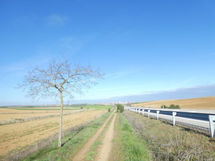
| Further afield, at the end of the plateau, a new village points a little below the pathway, hidden by black poplars. |
 |
 |
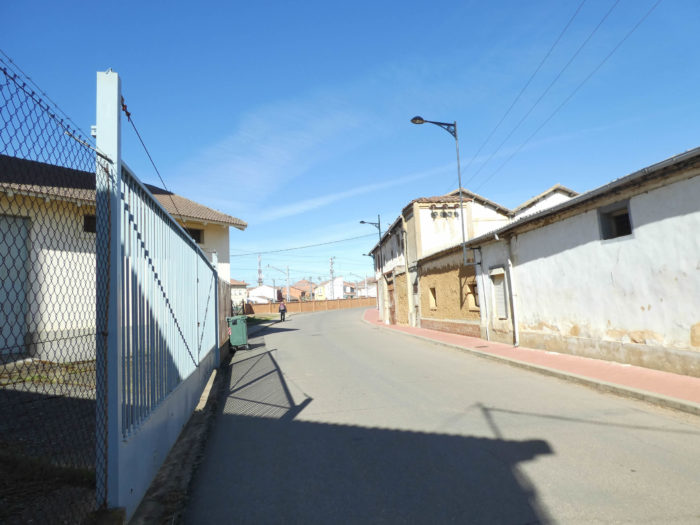
| The pathway then gets at San Nicolás del Real Camino, the last village in the province of Palencia. From now on, you’ll walk in León country. There is of course the church, closed as often. |
 |
 |
| You are now on the “real Camino”. Here, in San Nicolás del Real Camino, as in all the villages along the way, you will always come across pilgrims seated at the coffee break, inside or outside, depending on the weather. |
 |
 |
| At the exit of the village, the Camino finds the Rio Sequillo, very discreet under the poplars. |
 |
 |
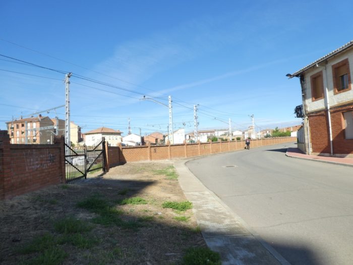
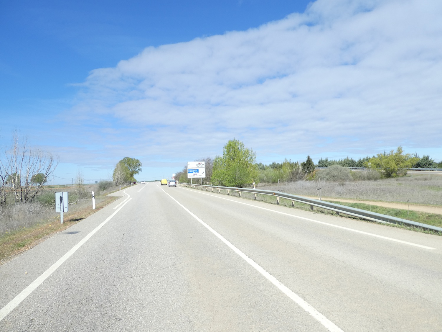
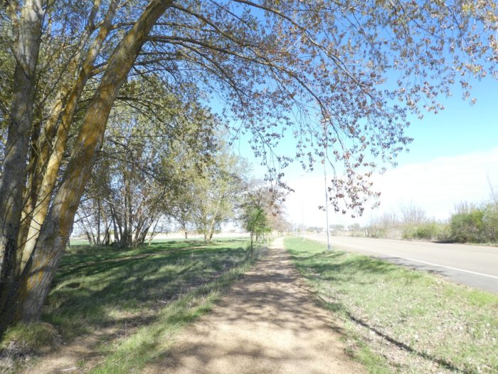
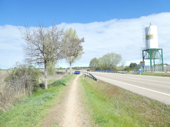
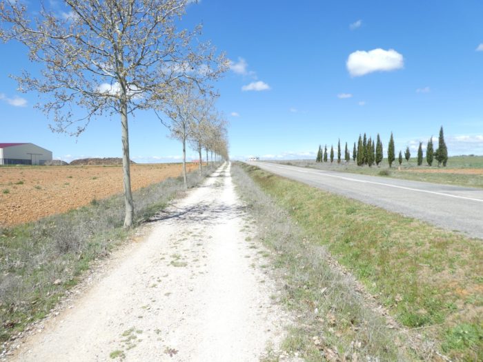
| Beyond the traditional shed for storing tractors and agricultural machinery, today out, the Camino will join the “senda de peregrinos” along the N-120 road. Here, “senda de peregrinos”, “ruta de de peregrinación”, “camino real” are all synonyms and unfortunately only give a name to a track that runs along national or departmental roads. |
 |
 |
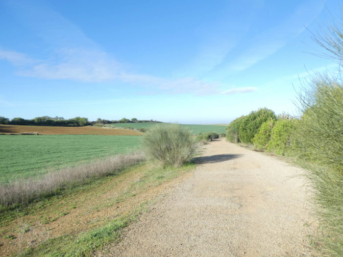
| Here, the hedges are divided between broom, wild cypress and barberry. As usual in the region, the N-120 road is little used, the highway running almost parallel. |
 |
 |
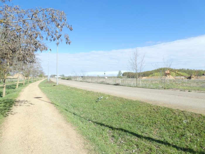
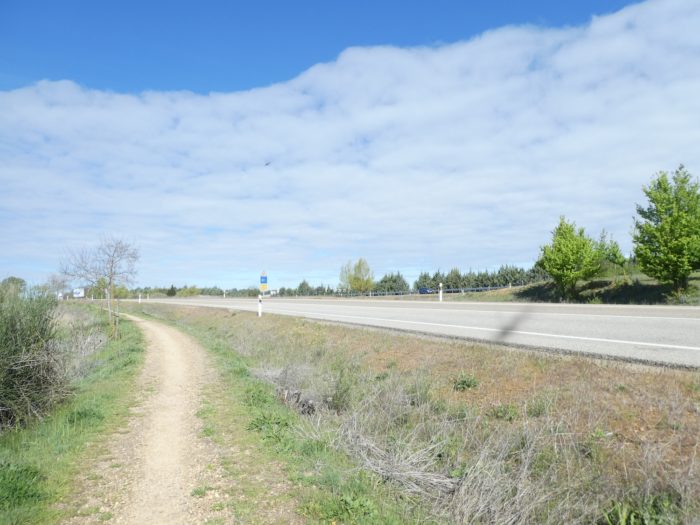
| The Camino follows the “senda de peregrinos”, until it comes close to the motorway. From here you’ll see Sahagún below, which seems close to you. Don’t trust it! There are almost 5 kilometers to get there. |
 |
 |
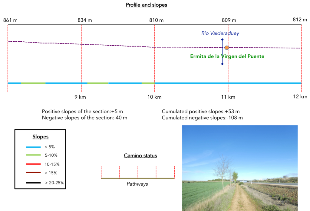
Section 3: Sahagún, it’s far enough ahead of you.
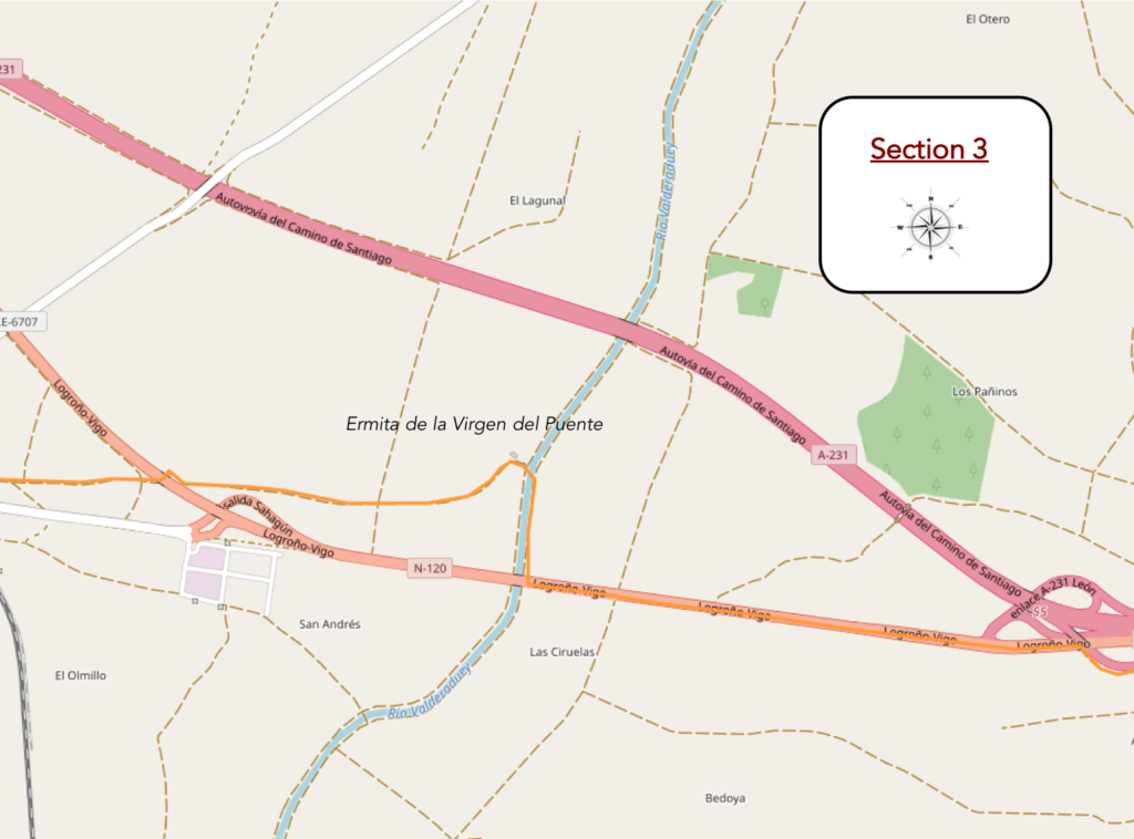
General overview of the difficulties of the route: course without any difficulty.
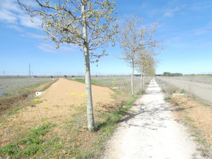
| At the terminal, you leave the province of Palencia. Here, the pathway skirts a small hill of pines on the ocher ground which hesitates between sand and pebbles… |
 |
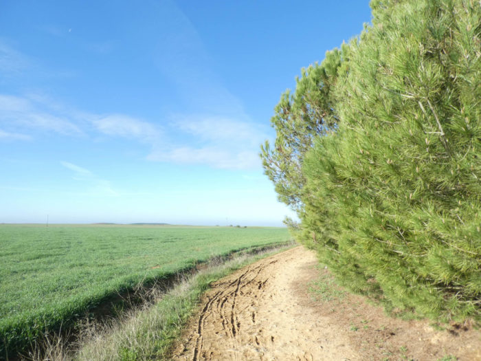 |
| … then is back under the hill near N120 road. You may think that when the pilgrims walk here during the heat waves, they must stop a little here. |
 |
 |
 |
 |
| These track sections where there is a fixed and distant point on the horizon are a calamity for the walker. No matter how close you look at the horizon, the city is not very close. |
 |
 |
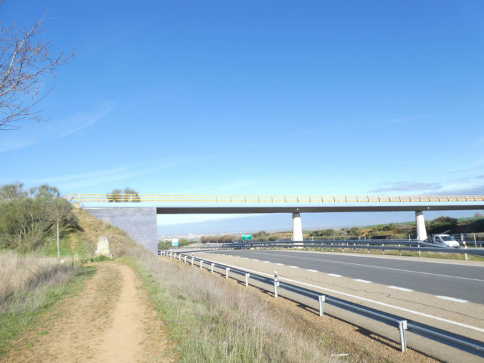
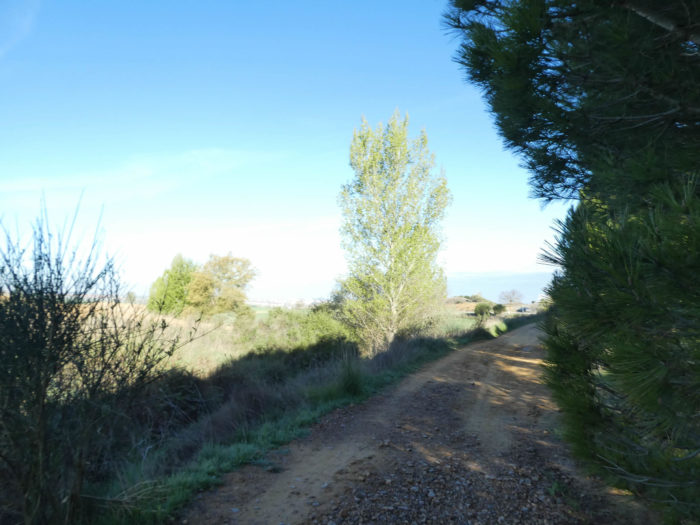
| And the pathway goes on along the poplars and small maples bare on the “senta de peregrinos”. It is inevitable, you’ll eventually arrive one day in Sahagún. The Rio Valderaduey then appears and it’s suggested that you leave the road here for a poplar alley which heads towards a hermitage. |
 |
 |
 |
 |
| When you are told that the Camino is no longer practiced in the spirit of yesteryear. The pilgrims have clearly seen in their guide that the route passes through the borough. So, what’s the point of making another detour to visit one more of these many chapels that are probably closed? Do you want proof? At this point in the journey, there were nearly 20 pilgrims on the way here. Only two went as far as the chapel. They rather went straight along the road. It’s a safe bet that in a heat wave, they will go under the trees to the chapel. It has become common. There is a growing feeling that pilgrims have become tourists who hurry to arrive in Santiago, just to say they have made the journey. And they are very wrong.
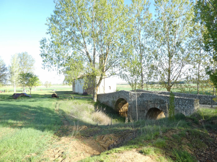
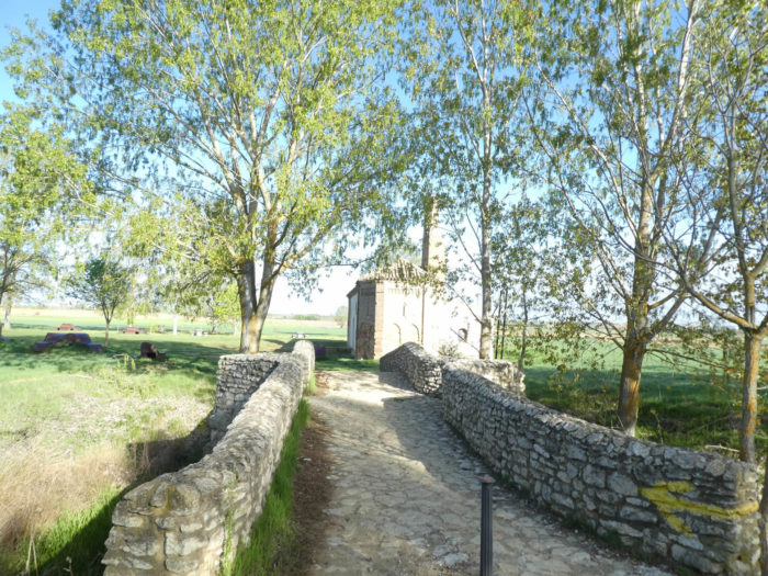
If you make the detour, an alley leads to the chapel. |
 |
 |
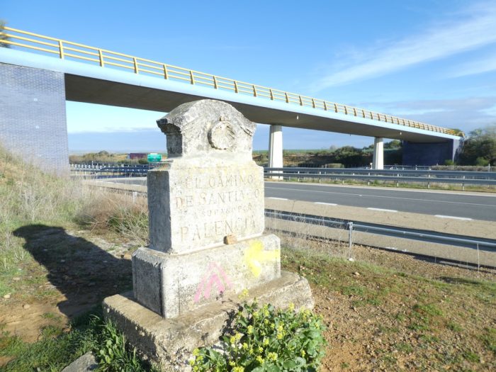
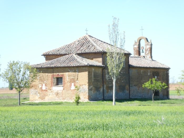
| The chapel is closed, of course, but the site is charming near the old stone bridge which spans the river. The small Roman bridge has two arches. The Hermitage of Our Lady of the Bridge on the Río Valderaduey was originally a pilgrims’ hospice and a leper colony, and the route to Sahagún is known as the Camino francés de la Virgen. The XIIth-century sanctuary has Romanesque foundations, but the original pilgrims’ hospice is long gone. The brick chapel is in the Mudejar style. |
 |
 |
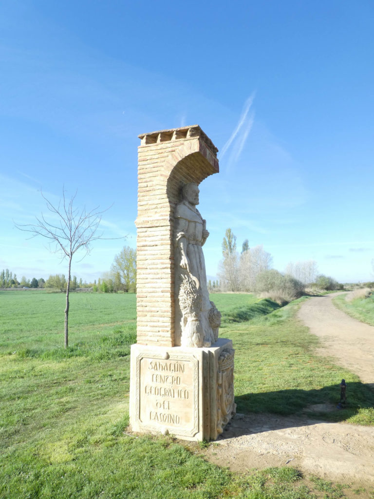
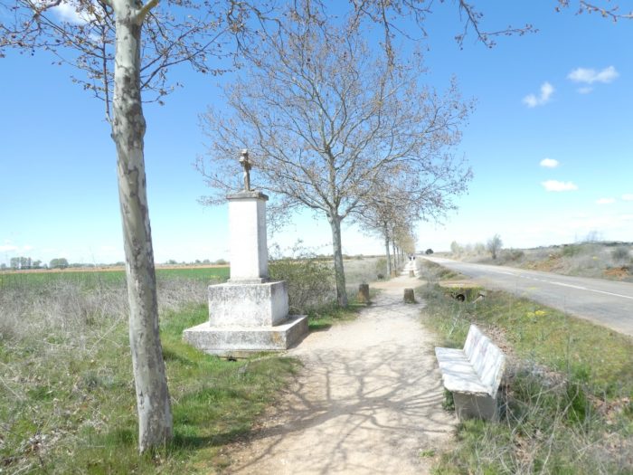
A false portico with statues marks the “geographical center of the track”, the midpoint of the route between St Jean-Pied-de-Port and Santiago. People pay homage here to Alfonso VI the Brave, from the XIIth century, king of León, Castile and Galicia, founder of Sahagún, protector of the Camino and of the Order of Cluny. His statue, dressed as a warrior, looks towards Sahagún.
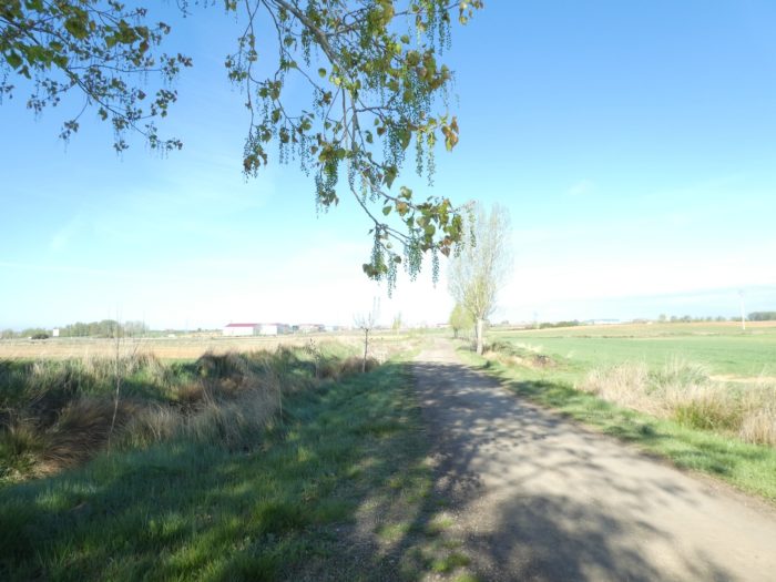
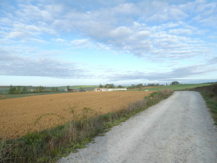
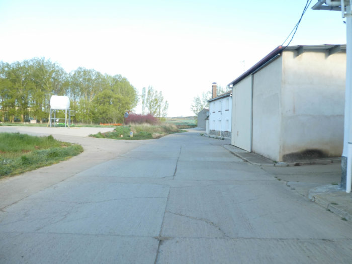
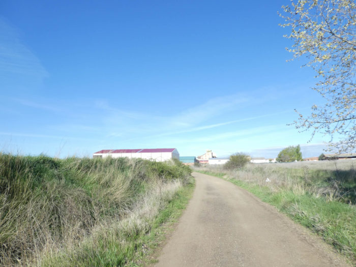
| A wide dirt road then leaves in the fields in the direction of the agricultural machinery sheds which mark the entrance of Sahagún. |
 |
 |
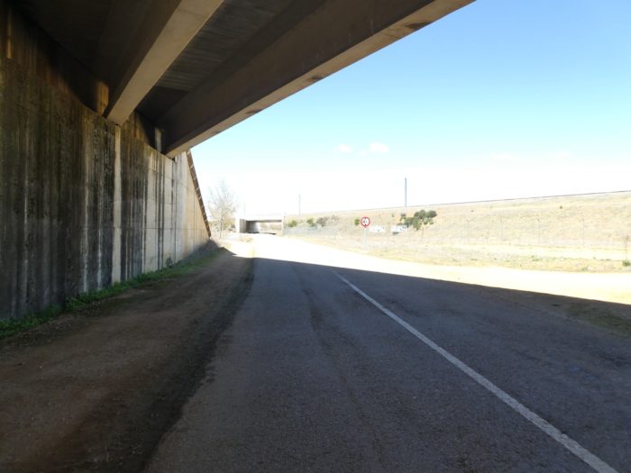
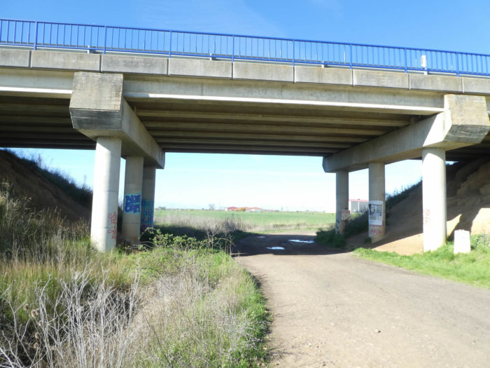
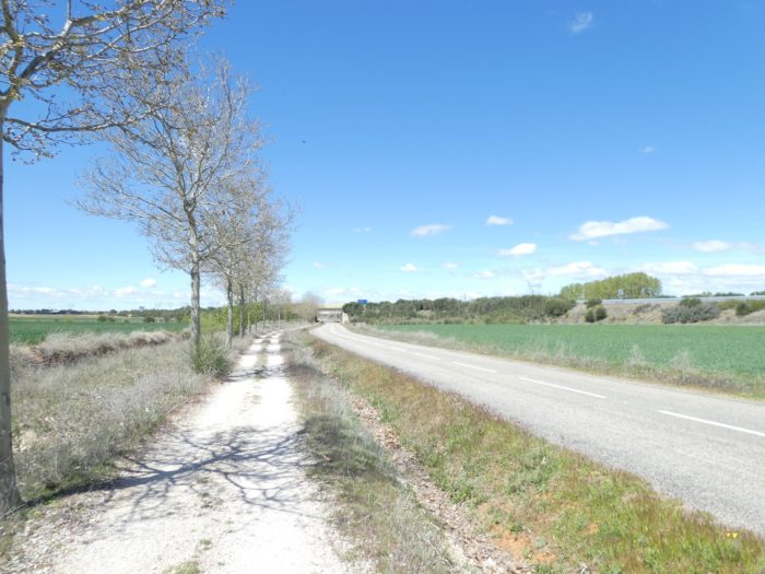
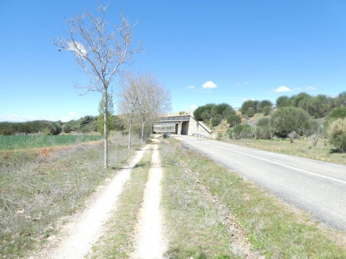
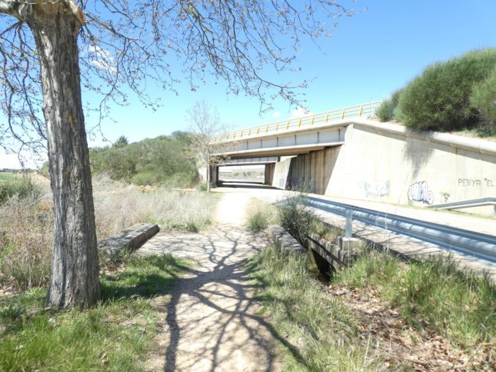
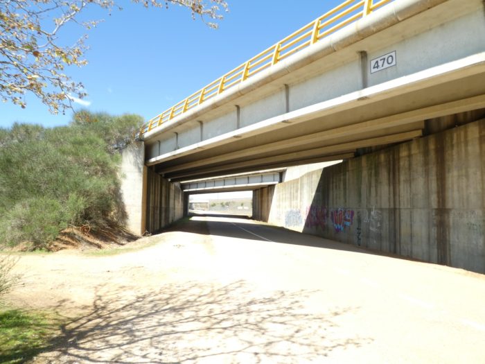
| Further on, the pathway passes under N120 road which bypasses the borough. |
 |
 |
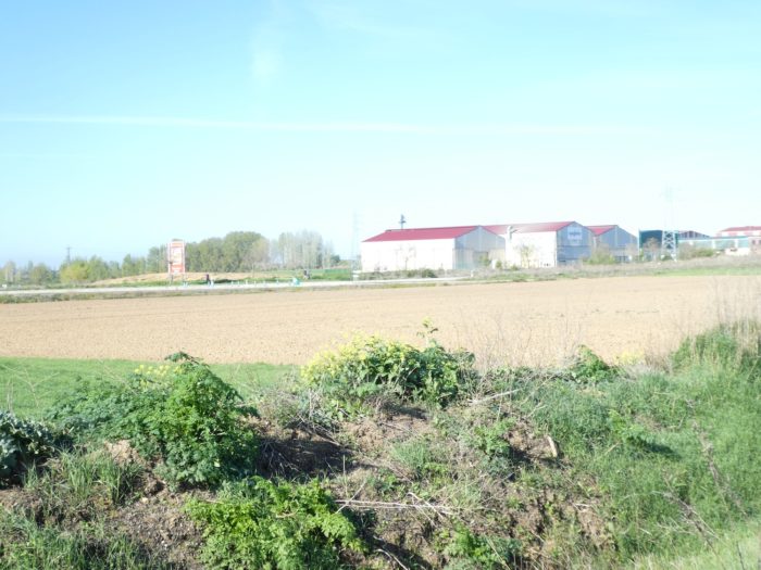
| The entrance to the borough is just beyond the hangars and the industrial area. |
 |
 |
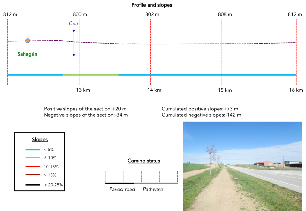
Section 4: Through the small center of Sahagún.
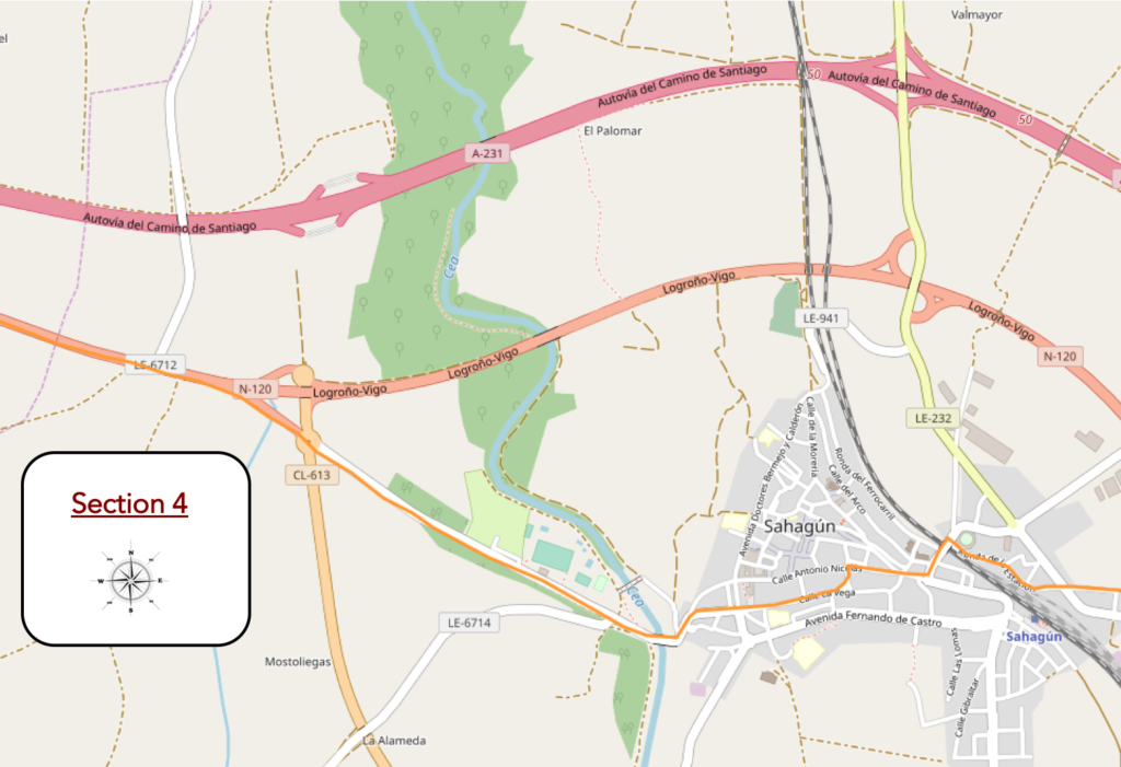
General overview of the difficulties of the route: course without any difficulty.
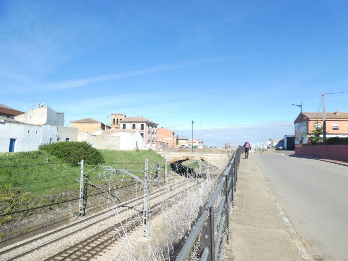
| The Camino runs along the railway line when entering the borough. Here passes the TGV line of the Meseta, which goes near Burgos and continues to Pamplona and Barcelona. To tell you that the borough (2,500 inhabitants) is quite important, the train stops here. |
 |
 |
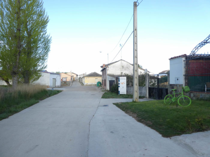
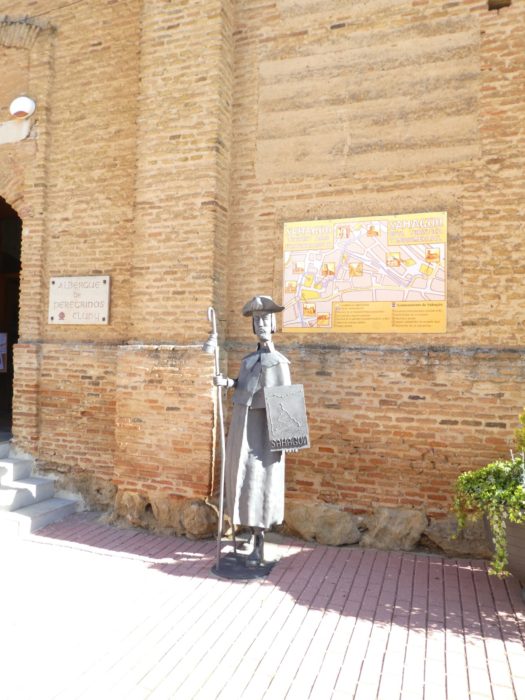
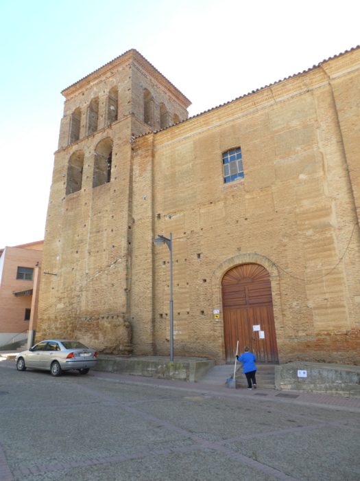
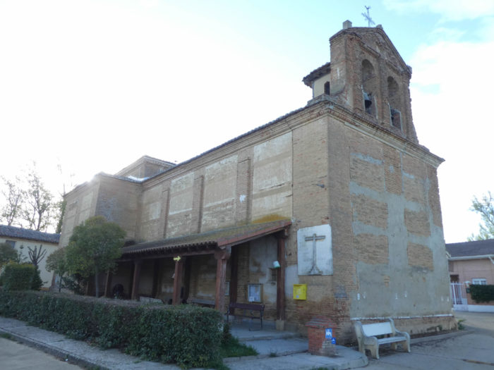
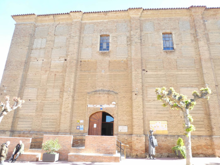
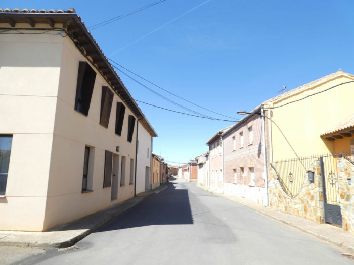
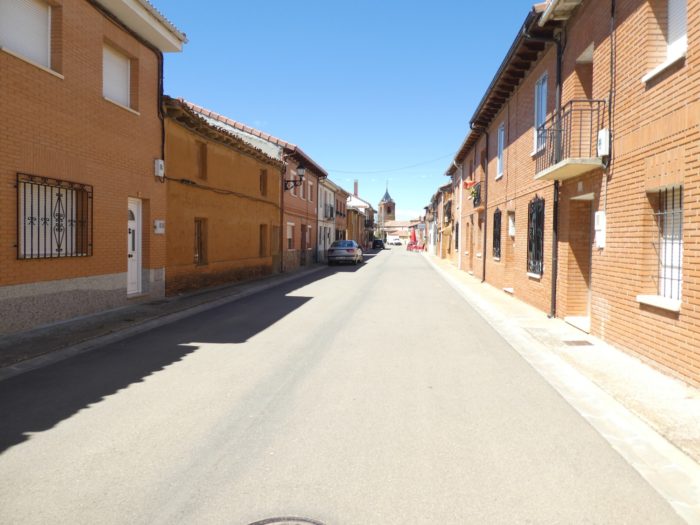
| Beyond the railway track, the Camino enters the borough. The city, being formerly an important Roman crossroads, owes its name to a martyr, Sanctus Facundus, which became over time Sant Fagun, then Safagun, and then through the magic of the transformation of languages Sahagún. With everything we have heard about this city that is compared to Cluny, we will say that it is not a delirious enthusiasm that marks us. In the square stands the Church of the Trinidad, an austere monument of red bricks, which dates back to the XVI-XVII century. Today it is a gigantic “albergue” for pilgrims, the “albergue Cluny”, set up in the nave, and an auditorium. |
 |
 |
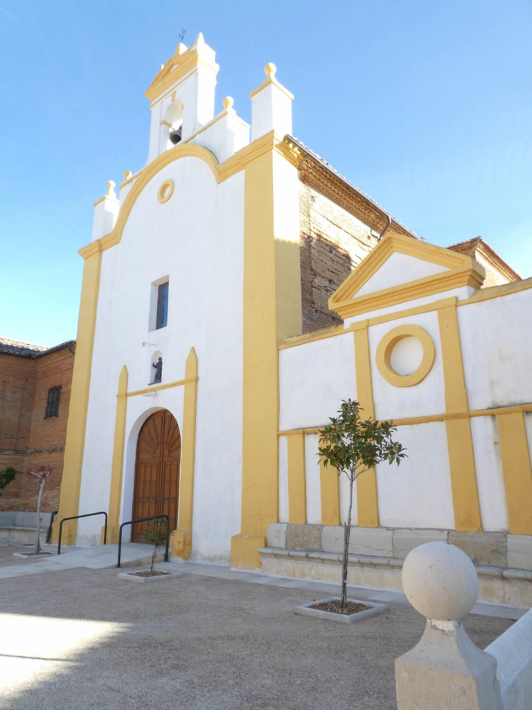
Right next to it stands the church of San Juan of Sahagún and its charming neoclassical facade in bright color. Here, for little you feel like you are in South America. It is here that the relics of San Facundo and also of San Primitivo, another saint associated with the city, rest.
But what is Cluny’s doing in this issue? Around the Xth century, the kings of Castile were linked to the Burgundians, who built a Cluniac site, including San Tirso Church, in the XIIth century. The influence of this place became important in the Middle Ages, this is why the town is compared to Cluny. This church is of Mudejar construction, Iberian architecture where Roman and Muslim influences are mixed. In 1949, the tower collapsed and was rebuilt, taking advantage of the restoration of the building.
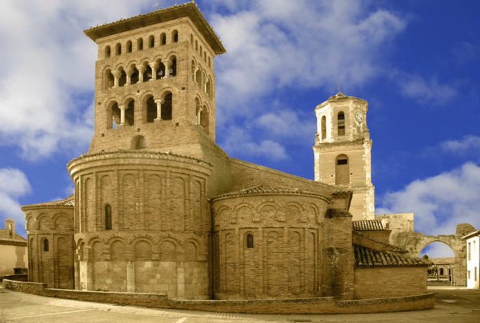
Wikipedia commons ; Author, Grosasm
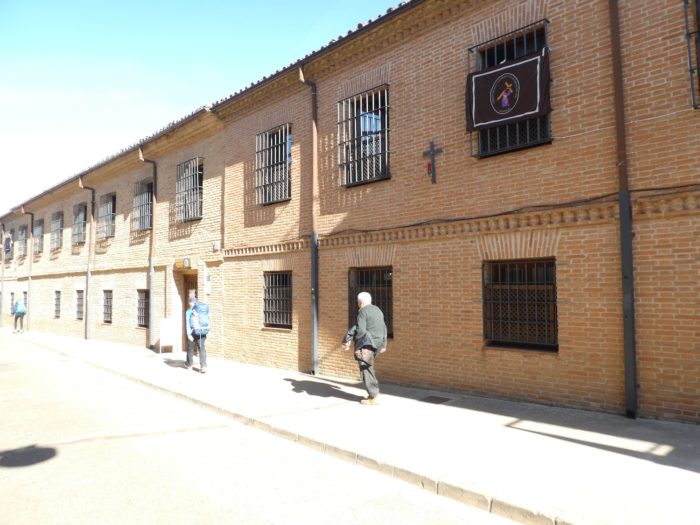
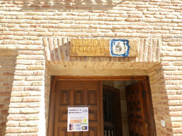
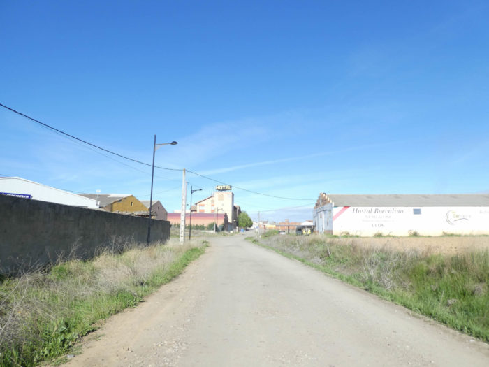
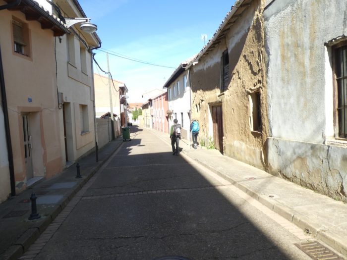
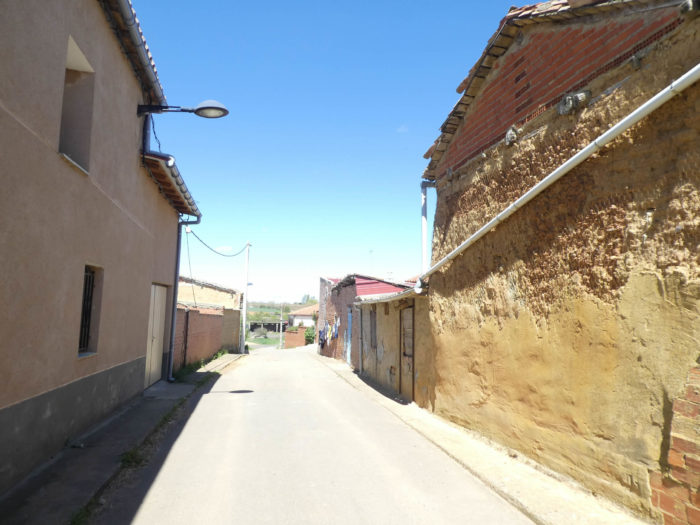
| The Camino then descends through the narrow streets of the old town, reaches a refuge run by the Benedictine sisters. |
 |
 |
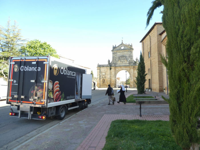
| The sisters do their shopping near an old city gate. There are undoubtedly many mouths to feed in these places where hospitality is the rule. The Camino then leaves the borough, in the direction of the river. Here stands a crucero, a little more sophisticated than those you have come across so far. |
 |
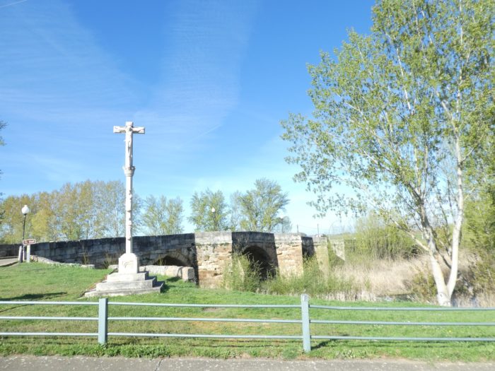 |
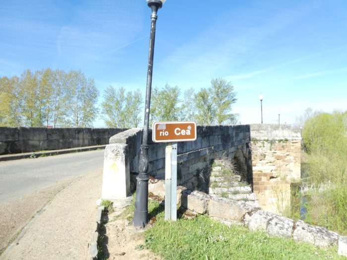
| Immediately, the route crosses the Rio Cea on an old stone bridge. |
 |
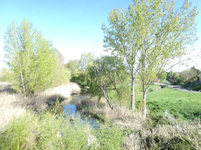 |
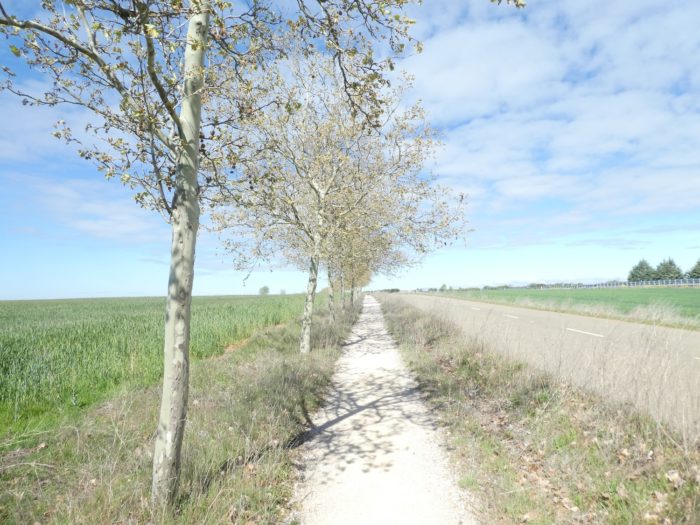
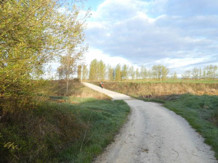
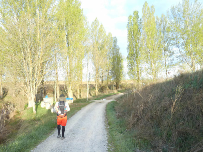
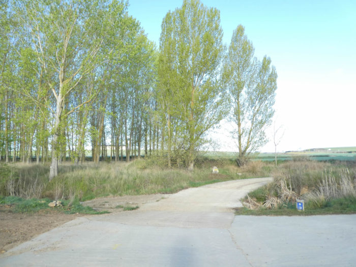
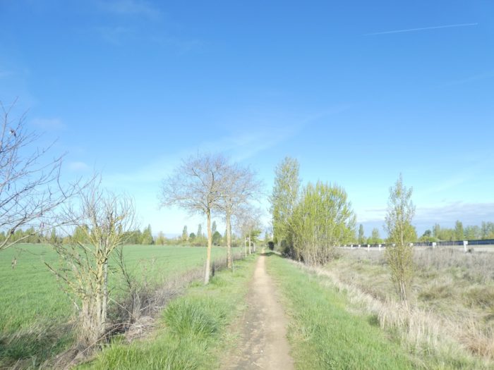
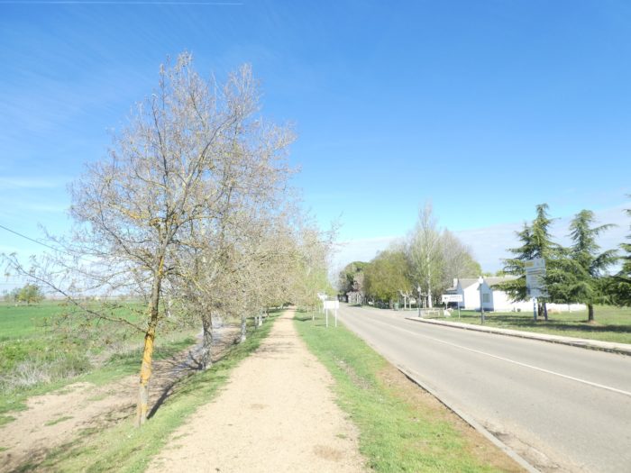
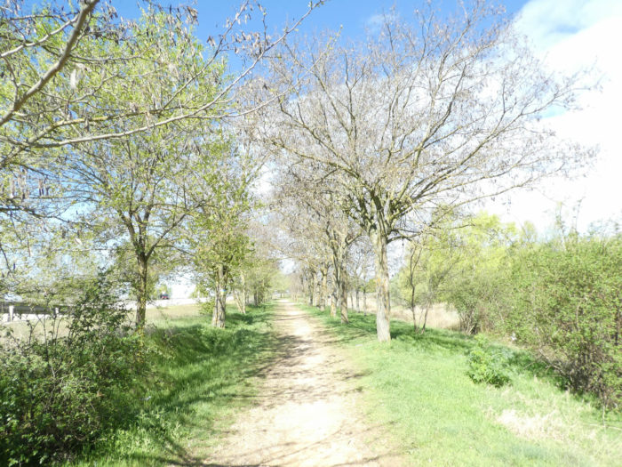
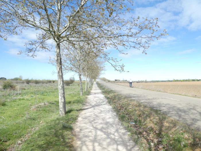
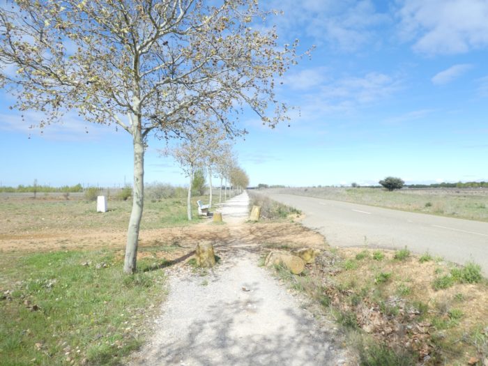
| Through the outskirts, it follows a long alley planted with black and white poplars. |
 |
 |
| The Camino gradually leaves the trees to follow the road that leaves the borough. |
 |
 |
| Shortly after, it arrives at a crossroads, where it will find the N-120 road which bypassed the borough. |
 |
 |
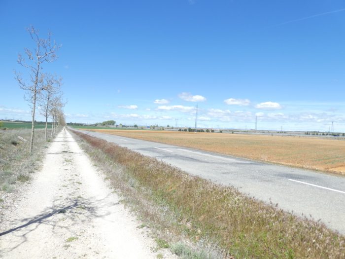
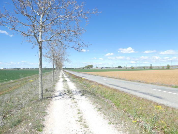
| It is then and again a long ballet with the national road. It sticks to your coattails. You will never tire of it. |
 |
 |
Section 5: You’ll change the “senda de peregrinos” for the “camino real”.
General overview of the difficulties of the route: course without any difficulty.
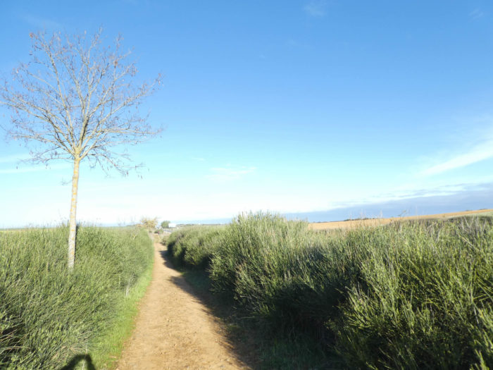
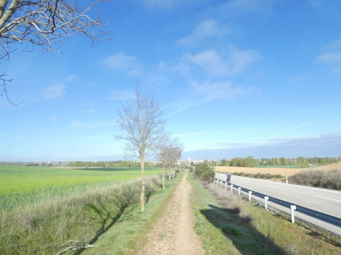
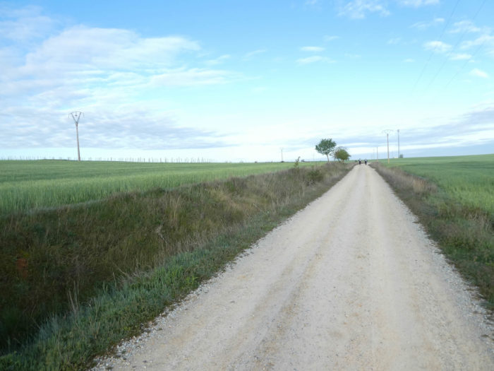
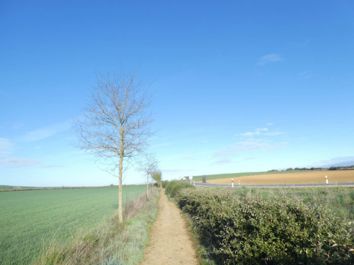
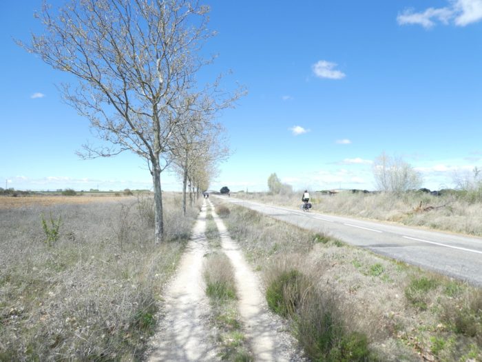
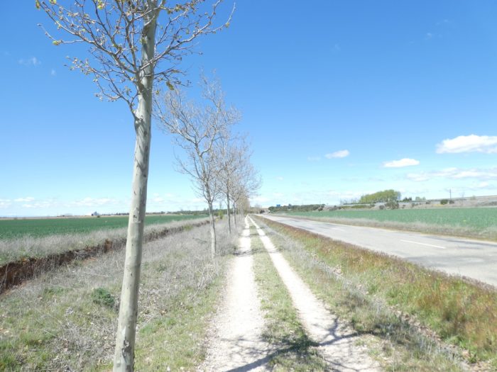
| Then starts again the endless throbbing ballet, which you’ll eventually get tired of, along the N-120 road, under the small maples which have not yet been feathered. |
 |
 |
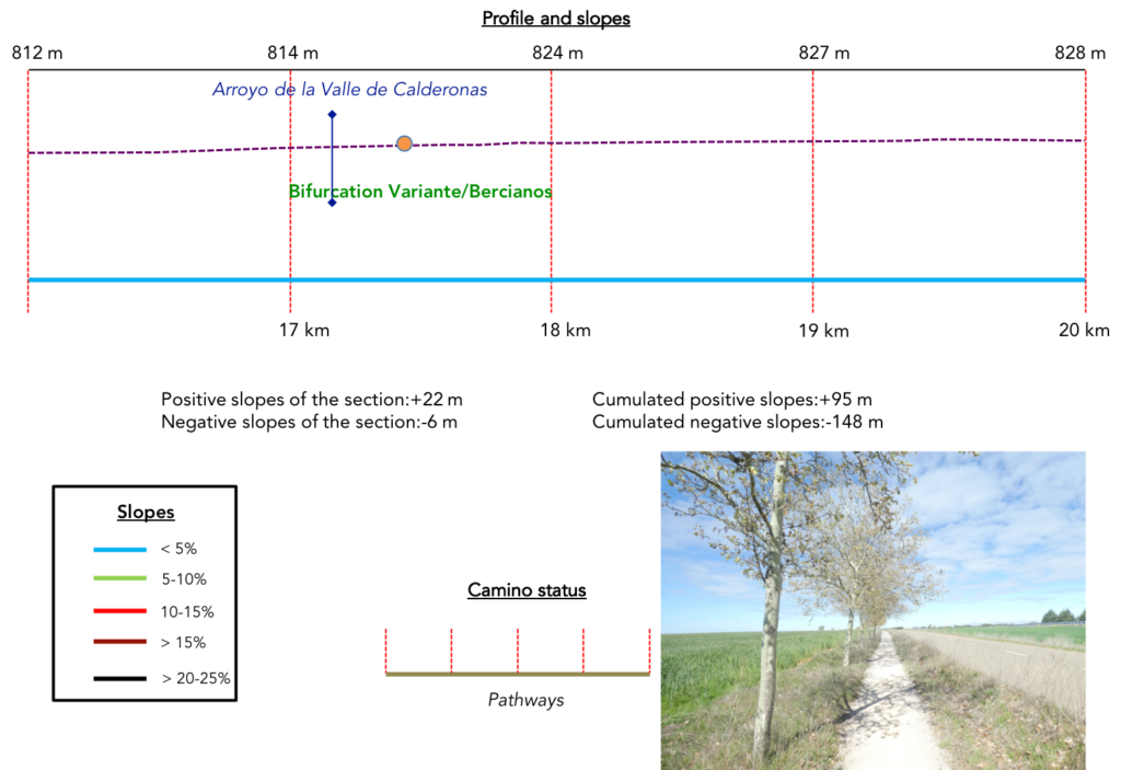
| Further on, the pathway crosses the insignificant Valle de Calderonas stream. |
 |
 |
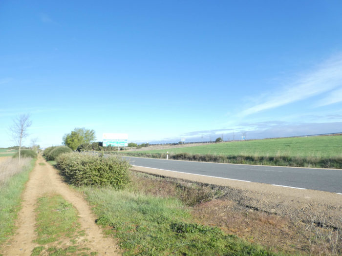
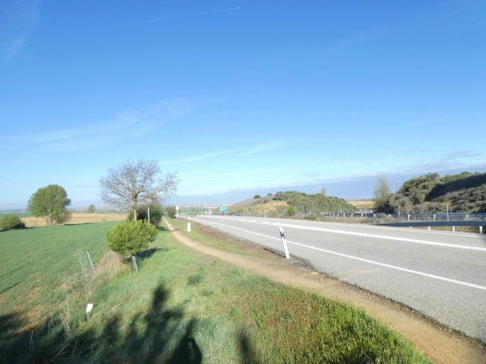
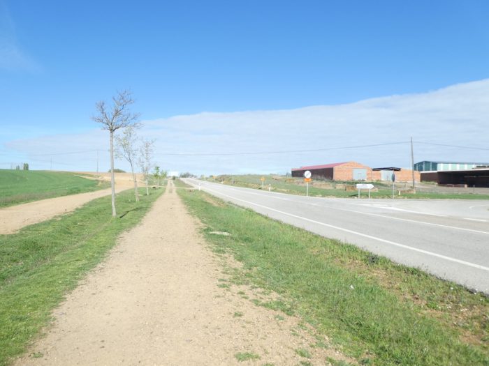
| The Camino is once again fast approaching the highway, the autovia del Camino de Santiago. You also missed that one a little. |
 |
 |
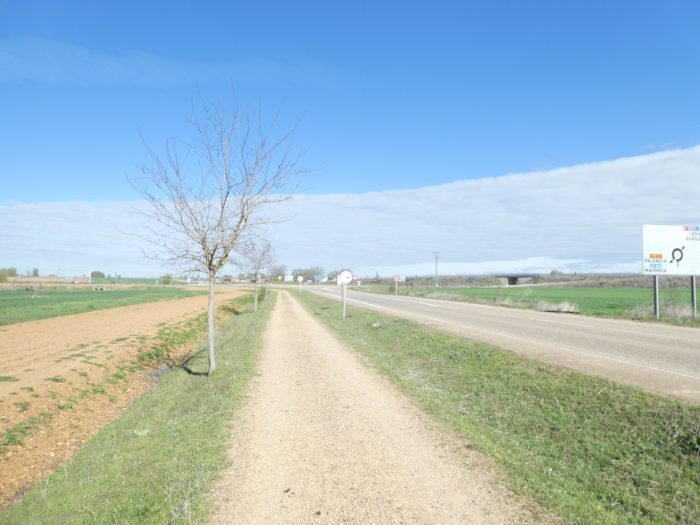
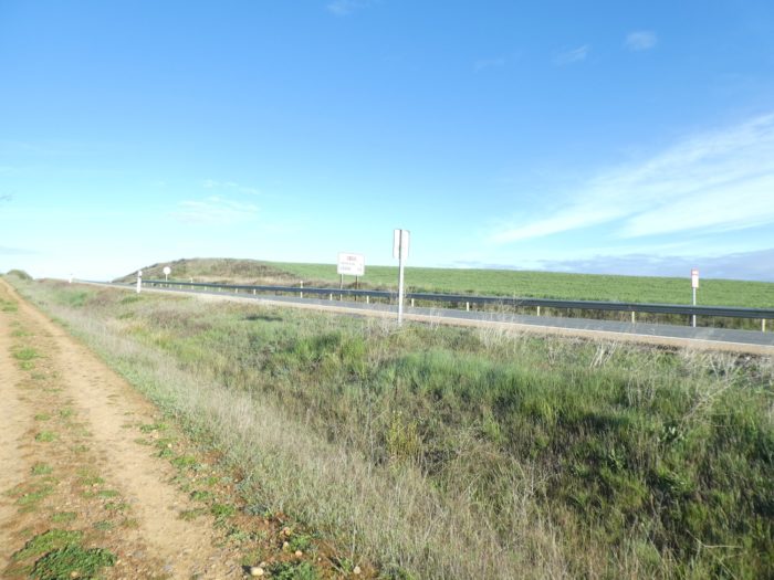
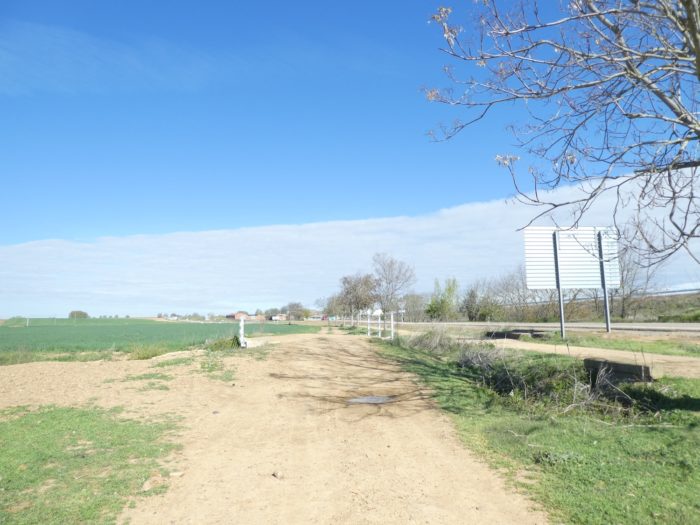
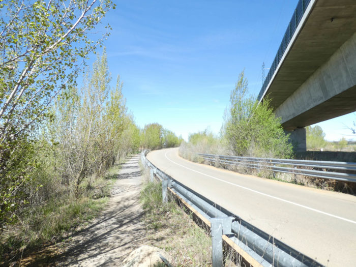
| The pathway soon arrives at a new road junction near the highway, Here the pathway crosses to the other side of the N-120 road. For now, it is moving on to other horizons. What a pity ! But rest assured, you will find it back near Astorga. |
 |
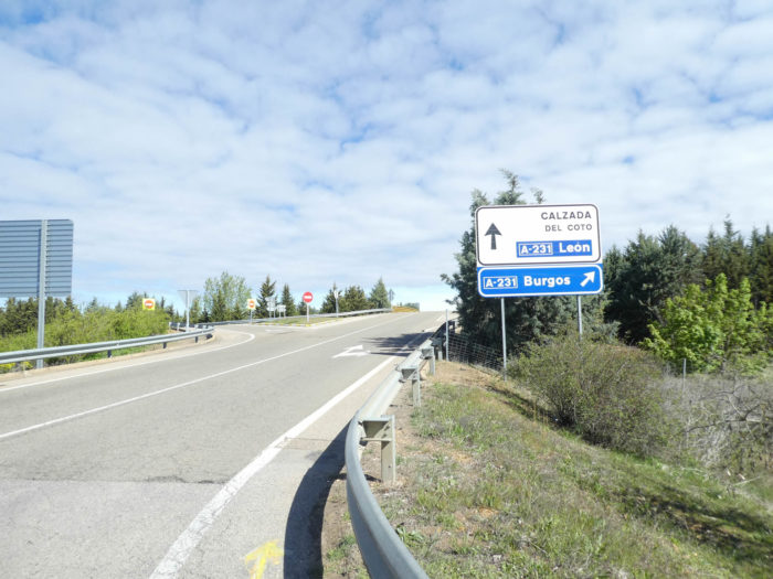 |
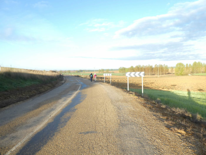
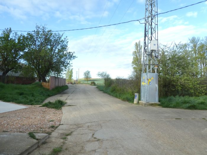
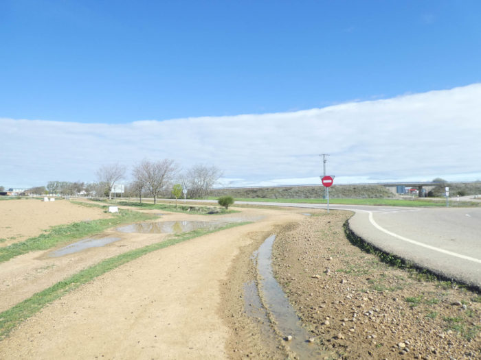
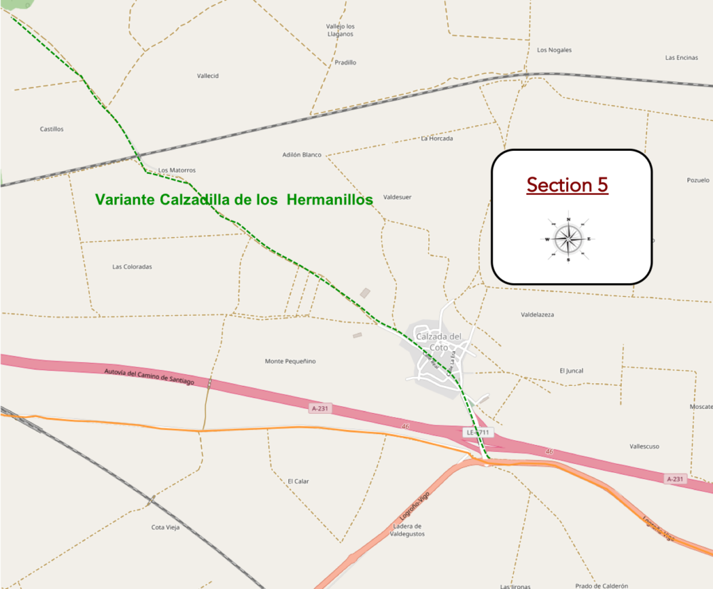
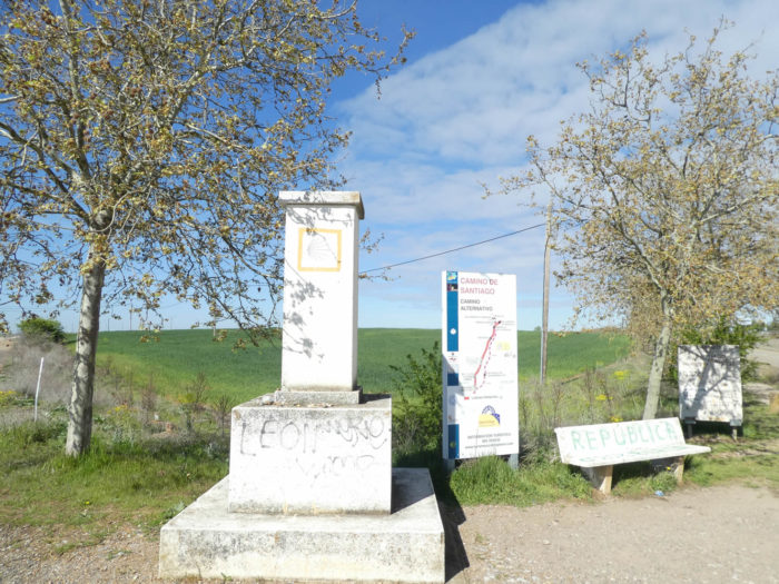
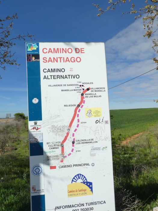
| So here you are at the time of a rather decisive choice, the alternative or the majority course. Signs at the venue encourage you to follow the “camino real”, going through Bercianos del Real Camino and not the alternative. You will see that here, the majority of pilgrims will disdain the variant. Therefore, so do we.
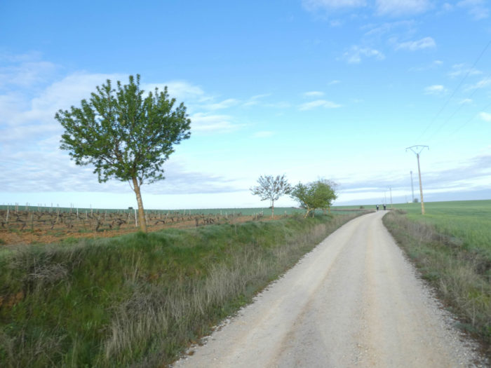
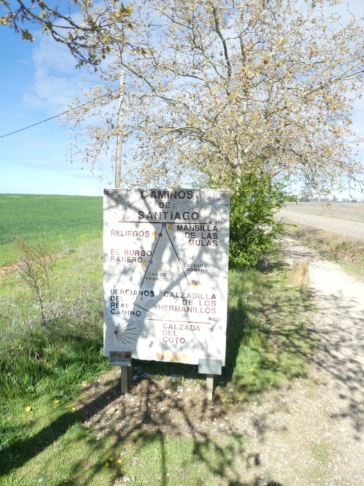
Here the alternative is explained to you. It crosses the highway, heads to Calzada del Coto, reaches Cazadilla de los Hermanillos, to rejoin the traditional track much further on at Reliegos. It does not go to El Ranero. This is the Via Trajana, a stretch of Roman road, largely intact after twenty centuries, built by Emperor Trajan to connect the gold mines of the Roman province of Galicia to Rome. In the past, pilgrims passed through here. On the Calzada Romana there are no paved roads, no sendas, few or no villages, little shade. The variant follows the side roads, a real desert.
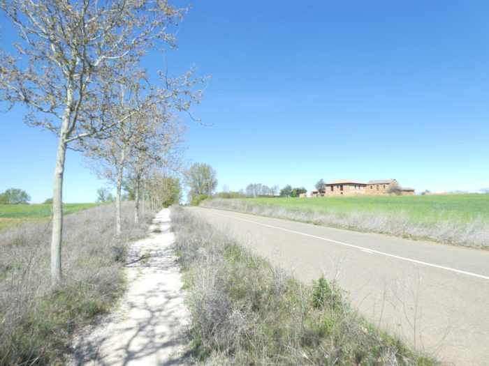
The other track, the most used (more than 95%) is the “camino real”, the “true track”, as the guides say. The “camino real” is obviously less fancy, along the roads. |
 |
 |
 |
 |
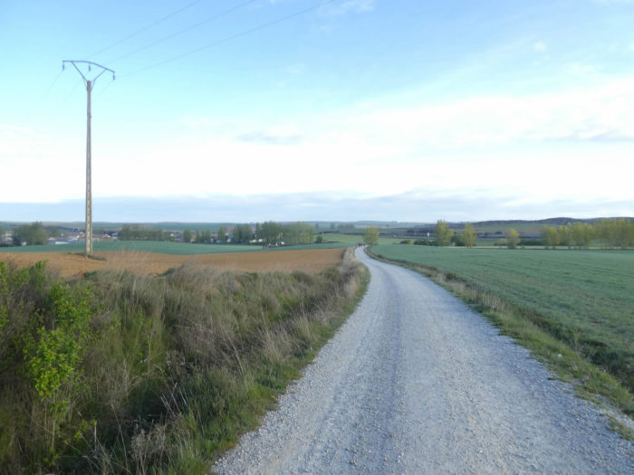
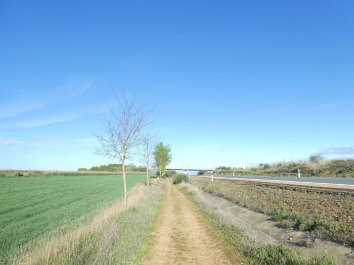
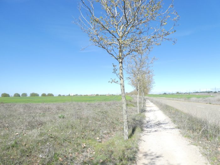
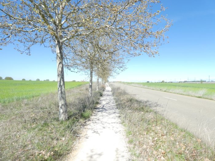
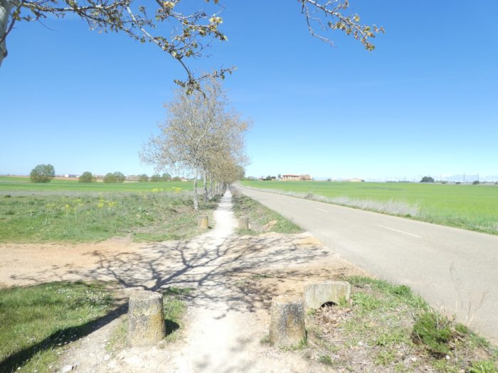
| The characteristic of this pathway is the presence of a continuous avenue of horse chestnut trees. The pathway therefore runs along the small horse chestnut trees along the road that leads to Bercianos, parallel to the highway. Here you are close to 800 meters of altitude, and in addition to the cereals which are beginning to rise in the fields, there are many fields of corn. We have never seen such large ones in the Meseta. |
 |
 |
| There is sometimes a bench on the course. It is not that the journey is demanding to justify their presence. But this allows pilgrims to close their eyes for a moment, to forget all this haunting ambient monotony. |
 |
 |
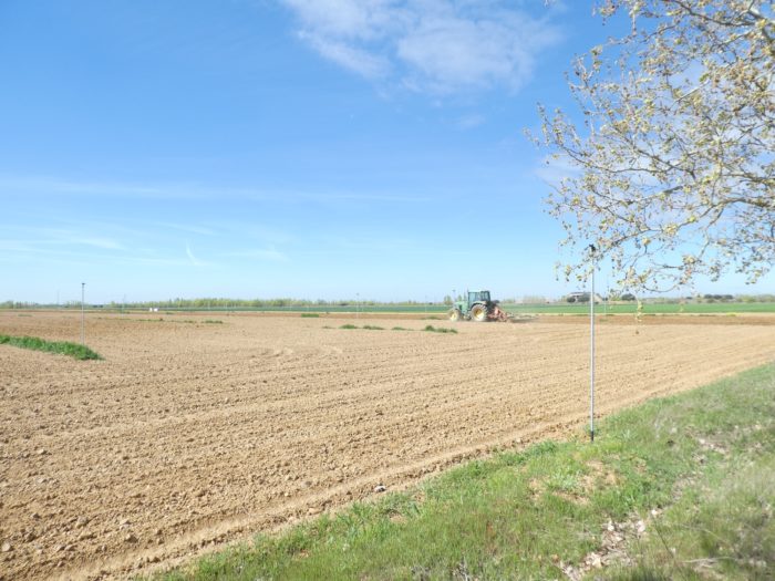
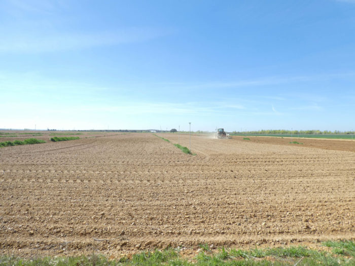
| Along this straight line where the horizon is lost, the tractors finally begin their ballet, because the ground has dried up for two days. For them, too, the journey must seem long and monotonous, as it will probably take them more than a day to plow the field to the railway line in the distance. |
 |
 |
| The pathway is long, very long, too long before you find the railway line. 1 kilometer, maybe two kilometres, when you love you don’t count. The horse chestnut trees must be welcome for the pilgrims who pass through here in the heat wave. |
 |
 |
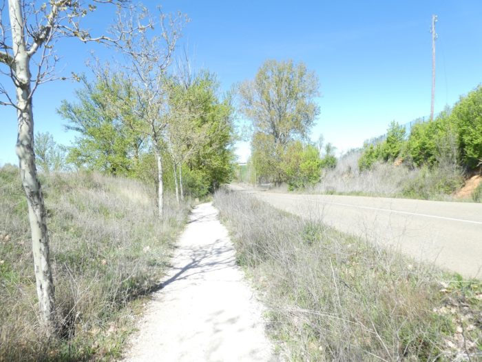
| You won’t often see the TGV pass here. There are hardly more than 4 to 5 passages per day. You will more often see freight trains passing on nearby tracks honking their horns as they pass. If, on your return trip from Santiago, you take the train and pass through here, you will no doubt come to the surface of the buried memories of your tedious walks in these great expanses. |
 |
 |
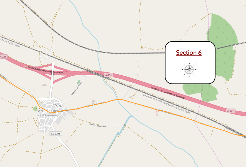
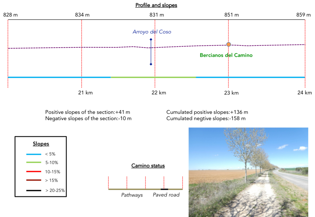
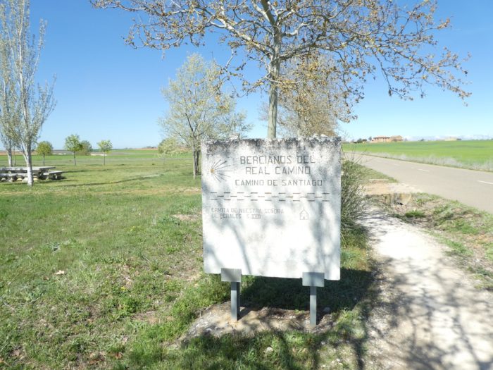
Section 6: On the “camino real”, passing by Bercianos del Real Camino.
General overview of the difficulties of the route: course without any difficulty.
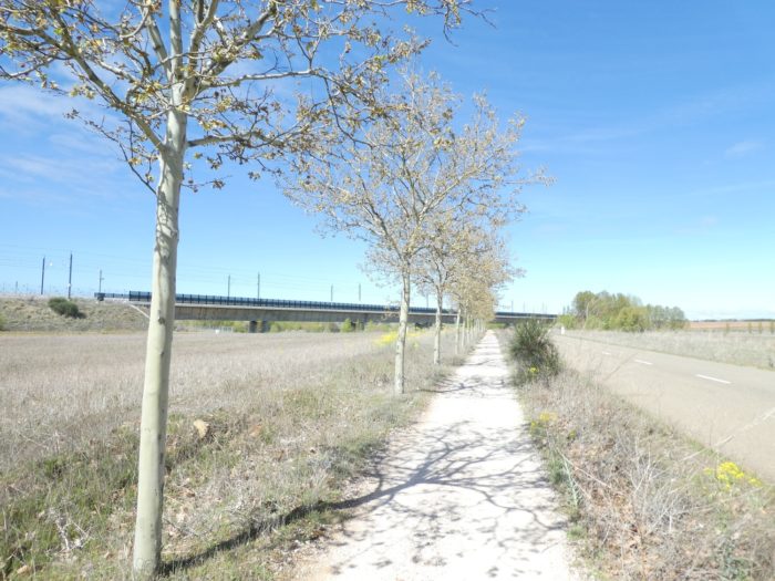
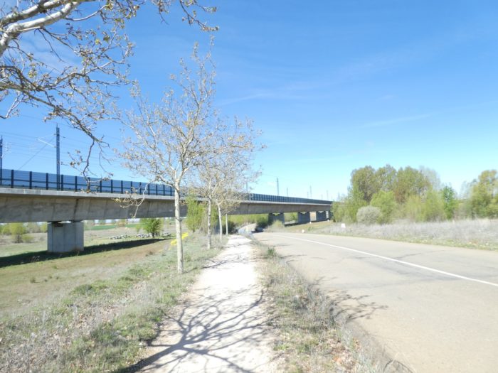
| Further on, the pathway runs under the railway line near a picnic spot… |
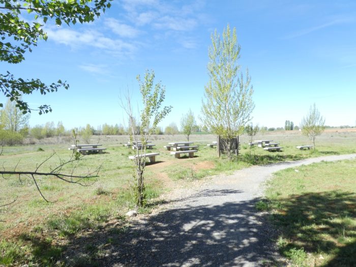 |
 |
| …and continues its progress along the road to Bercianos. |
 |
 |
| How it’s starting to become frustrating to describe landscapes where nothing happens, except to always see the same horse chestnut trees, a road that never ends, a railway line in the distance! That the beautiful landscapes of the Meseta from the beginning have already vanished. At first, it’s impressive. Then you get used to it. And over time, you get tired. For our part, we really liked the crossing of the Meseta. But when it’s too much, it’s too much. So, everybody waits impatiently for the next village, imagining a miracle, that it will eventually change. |
 |
 |
| Further on, Bercianos is at the end of the straight, but you are far from getting there. |
 |
 |
| Just before the village of Bercianos stands a small XVIIth century hermitage, dedicated to Our Lady of Pereales. Also closed. We also get tired of finding these places inaccessible. Are there so many depredations that force the churches to be kept closed? Soon perhaps, you’ll only enter churches by paying a tax, as in museums, at set times. A sober crucero also stands here, which cannot be dated. |
 |
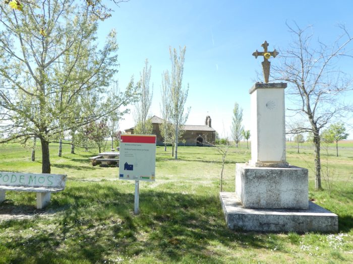 |
| There is also a picnic spot here to keep the client waiting, before the pathway begins to climb gently towards the village. |
 |
 |
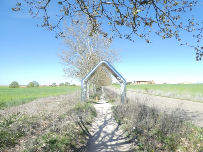
| On the way stands a triumphal arch, erected there, no doubt to allow the Spanish Grandees to pass. |
 |
 |
| A little further, the pathway crosses the Espinar brook, where the water also flows at a good level. The surrounding area is crossed by numerous irrigation canals. |
 |
 |
| Last straight line uphill, and the pathway finally arrives at Bercianos del Real Camino. On these long stages, the pilgrims dilute on the way, and you hardly ever meet any more. Today, there are only two pilgrims at the “albergue”. |
 |
 |
| The Camino then crosses a village longer than the Nile, dead like the moon, perhaps dozed by the nap, along houses with absolute simplicity, where the heat must be stifling in summer. |
 |
 |
| There are undoubtedly rich peasants in these areas, but these undoubtedly do not live in these houses of bricks, mud and adobe, where the linen dries on the frontages. Here, in what looks a lot like Mexican pueblos, live the poorest of them, those who work in multinational grain companies. |
 |
 |
| At the exit of the village, behind the small island of black poplars, the Camino leaves under the horse chestnut trees along the road, equal to itself. Here, a resident came to see if the rapeseed that landed in his meadow is soon ripe. |
 |
 |
| For people who, like us, were hoping for a surprise when leaving the village, it’s over. The “camino real” always runs alongside the chestnut trees at the edge of fields large like Spain. |
 |
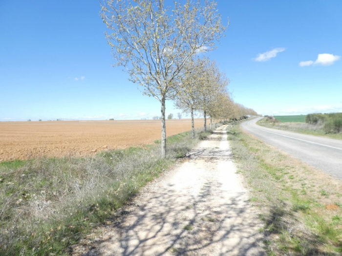 |
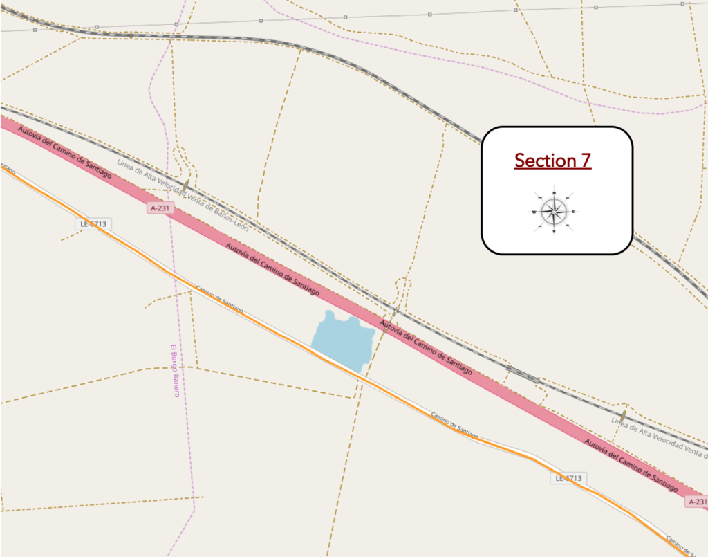
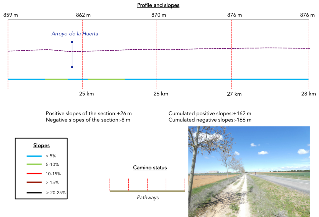
Section 7: Monotony will soon become an obsession for some pilgrims.
General overview of the difficulties of the route: course without any difficulty.
| If you question the pilgrims, few of them will tell you that they appreciate uniformity, monotony on a large scale. Endless fields, be it wheat, corn, soybeans or long building bars, are not necessarily very attractive. And here it has been going on for almost 300 kilometers. It’s a bit long, right? Pilgrims will tell you, for sure, that they prefer the diversity of the forests, the softness of the hills, because the diversity speaks rather for a small scale, easier and pleasant to apprehend for our senses. In the monotony of deserts, in these environments where nature becomes rough, deprived, the man feels small, vulnerable. So, he sometimes tortures himself to the point of obsession. How much longer will he bear to walk with his head down, without pleasure, if not the satisfaction of getting to the end of the stage as quickly as possible? For many pilgrims, the Meseta is an ordeal, similar to the myth of Sisyphus, who, whenever he managed to roll his rock at the top of the mountain, the latter escaped him, descended to the bottom of the valley and he had to start again.
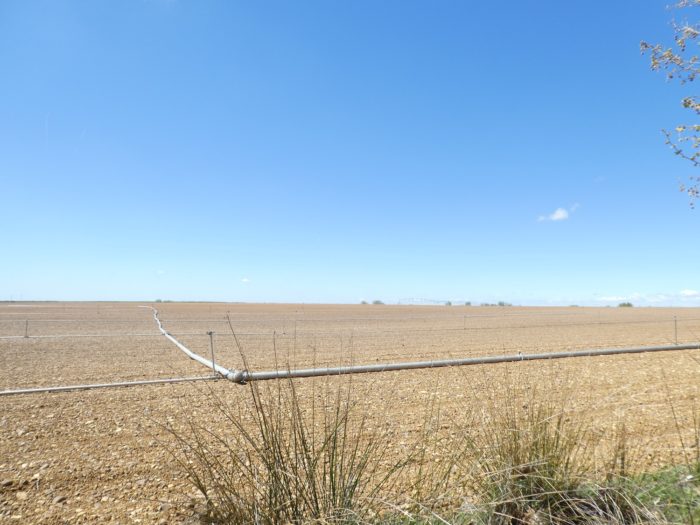
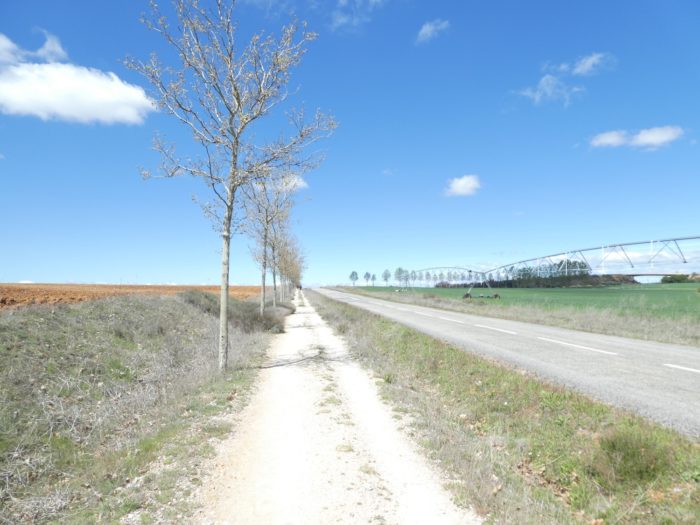
However, many pilgrims fail to achieve the widespread cerebral torture of obsession. You have to be fatalistic on the way. Nobody forced you, unlike Sisyphus, to come here. Then, again, a little tour on the “real camino”, paved with good or bad intentions, along the enormous fields waiting to be planted with corn. The plant consumes a lot of water and large irrigation systems are put in place. |
 |
 |
 |
 |
| Further on, for a change, the pathway slopes up gently, but the landscape remains the same, frozen for eternity. |
 |
 |
| In this immensity where the horizon slips away as far as the eye can see, is lost between sky and earth without being able to define it, the humans in the distance are only little dwarfs. Sometimes the ground changes a little, becomes grayer. Sometimes the straight pathway undulates a little more on the tiny hills. |
|
 |
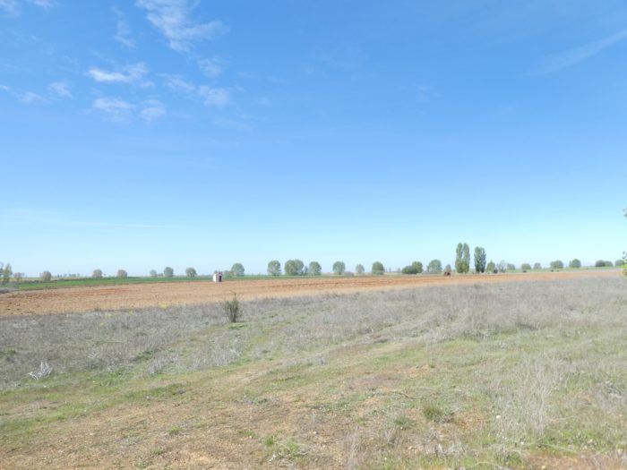
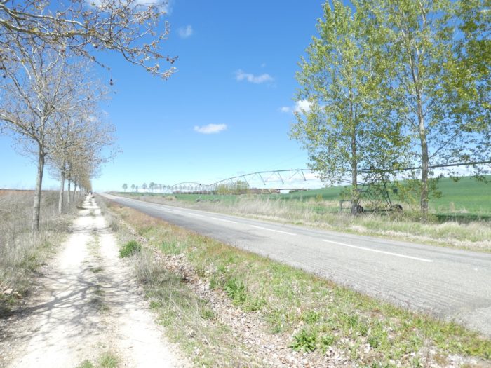
| The farmers have taken out their war material. You have a feeling that the soil will dry out and that work will soon resume in the fields after about ten days of rain. Sometimes again, the large articulated irrigation machines stretch their arms towards the sky like octopuses. |
 |
 |
| From time to time, cruceros have been erected to remind you that the Camino is also a pilgrimage route, and all this small world of pilgrims, on foot or by bicycle, marches tirelessly on the straight line. |
 |
 |
| When you meet Korean pilgrims on the way, they have forgotten the “Buen Camino” of enthusiasm at the start. Pilgrims of other nationalities too. They move forward with clenched jaws, in a hurry to get it over with for today. |
 |
 |
| A shell of Compostela on the way often announces something new. But here nothing comes to disturb the banality which is perpetuated. But no! Here is a field of rapeseed which points, it is new, almost unusual here. |
 |
 |
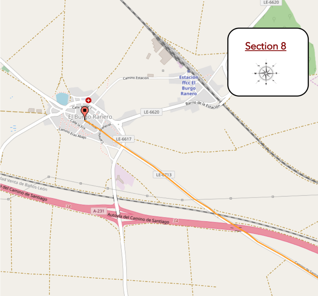
Section 8: Every great story has an end.
General overview of the difficulties of the route: course without any difficulty.
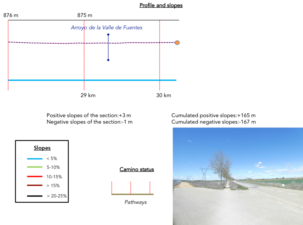
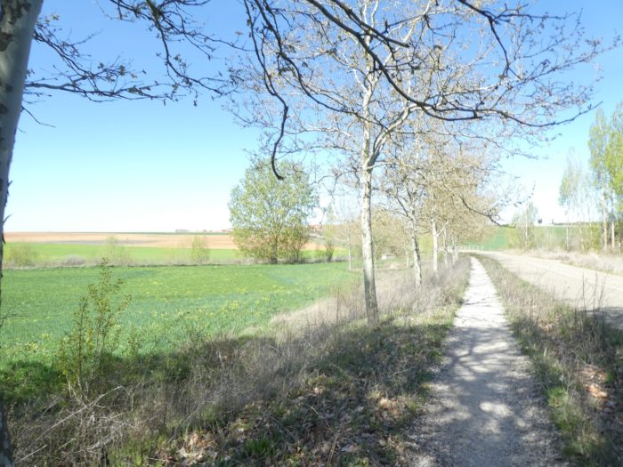
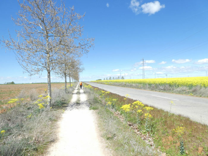
| The pathway then runs along the rapeseed field for a long time, passing through an area where water retention is more marked. |
 |
 |
| However, you sense that something unusual is going to happen. You’ll hear in the distance a few rare engines. |
 |
 |
| Indeed, the pathway is once again approaching the motorway and the railway track. |
 |
 |
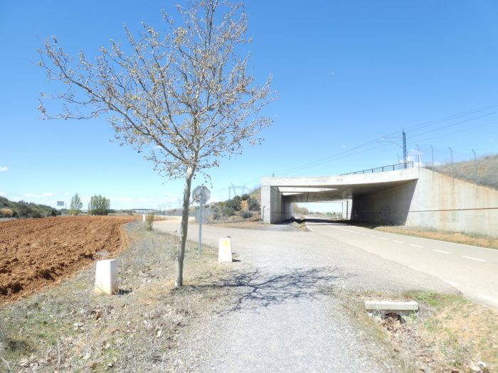
| Shortly after, an event takes place to mark in red ink. The pathway will pass on the other side of the highway and a little further from the railway track. |
 |
 |
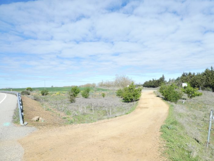
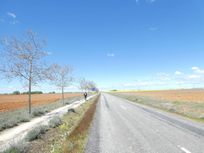
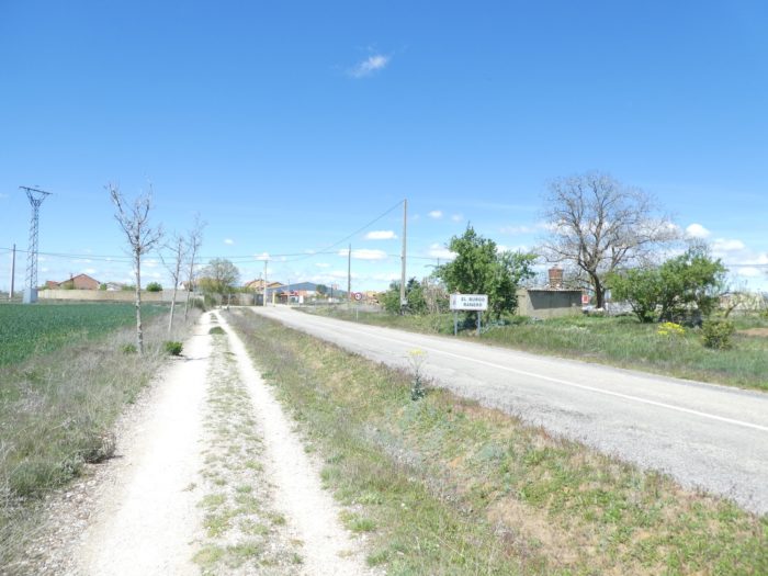
| You can feel the hour of deliverance near, because on the other side of the tunnel, you can see El Burgo Ranero. Immediately, the “camino real” takes over at the edge of the road. |
 |
 |
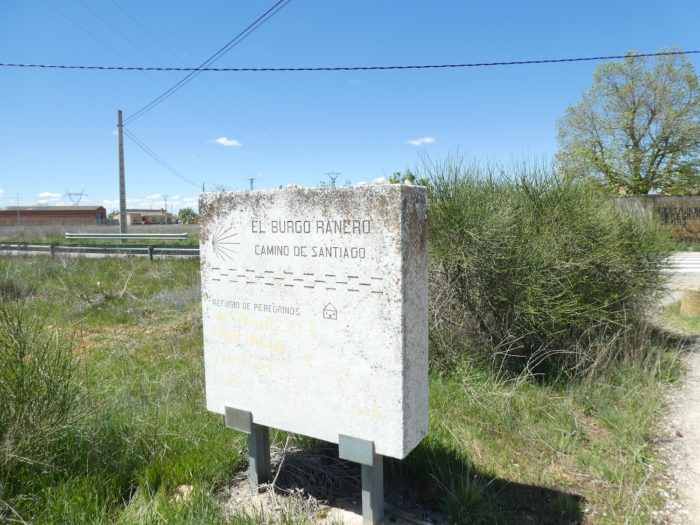
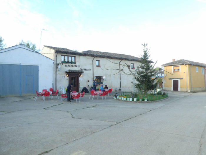
| The Camino soon arrives at El Bugo Ranero. It doesn’t look like a big village where you would spend your holidays. But there are the long-awaited “albergue”. |
 |
 |
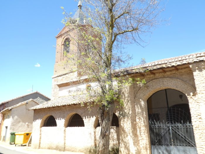
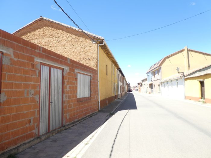
| It is a village like the others, simple, with its small church. There is even a Plaza Mayor. But, you will not go for a walk there at night. Tonight is the “albergue”, nothing but the “albergue”. This argues strongly among pilgrims about their state of mind, about their impression of the route. Some regret not having chosen the Camino del Norte rather than the Camino francés. Others are more fatalistic. They were promised that from León the course would change. |
 |
 |
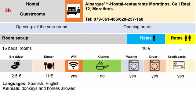
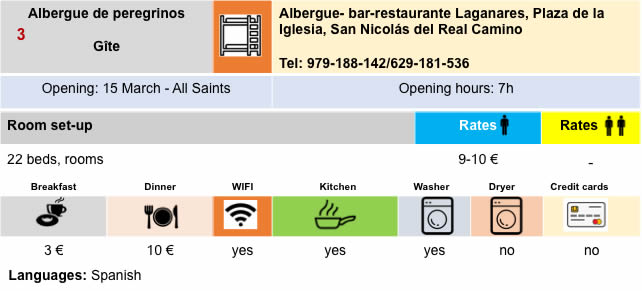
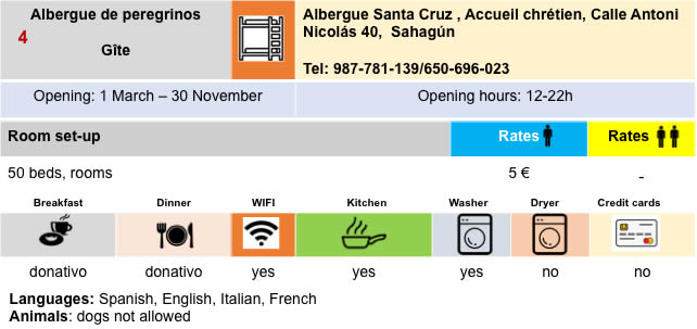
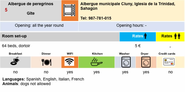
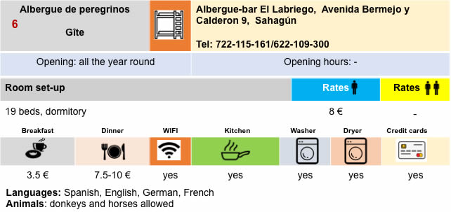
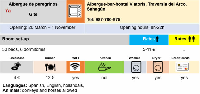
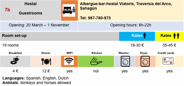
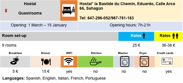
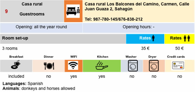
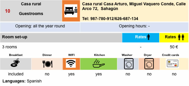
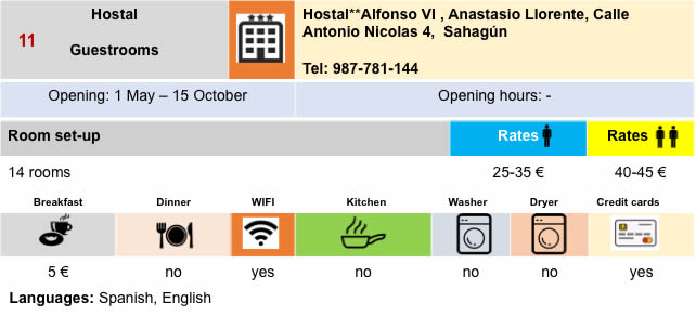
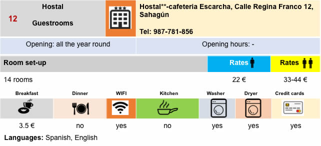
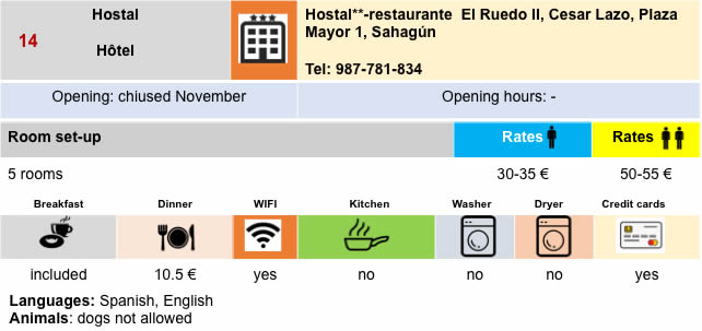
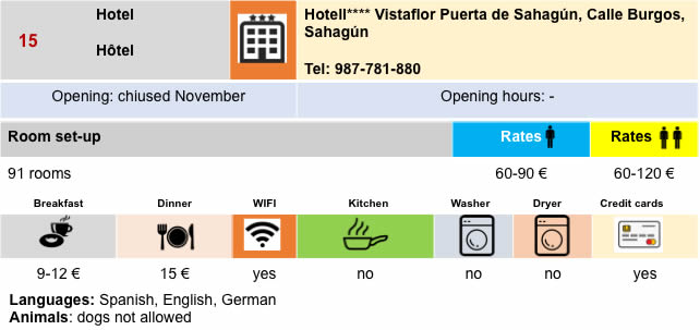
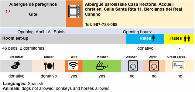
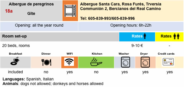
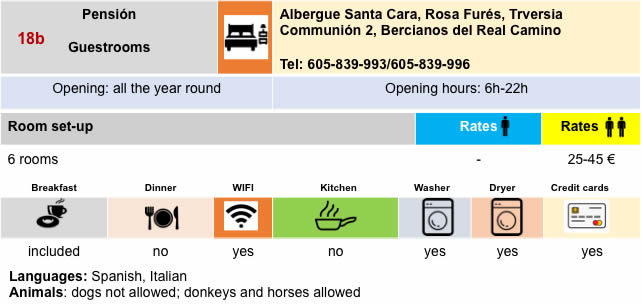
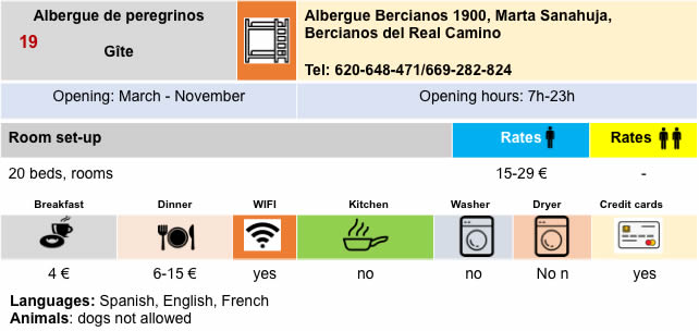
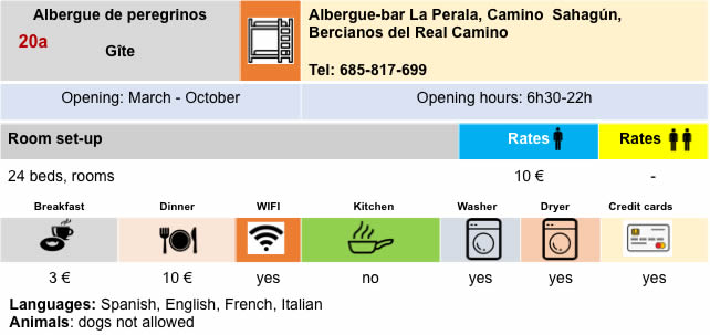
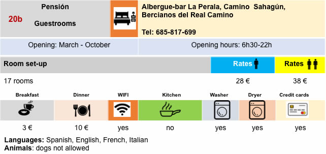
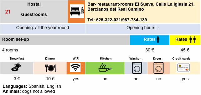
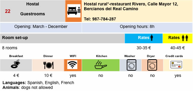
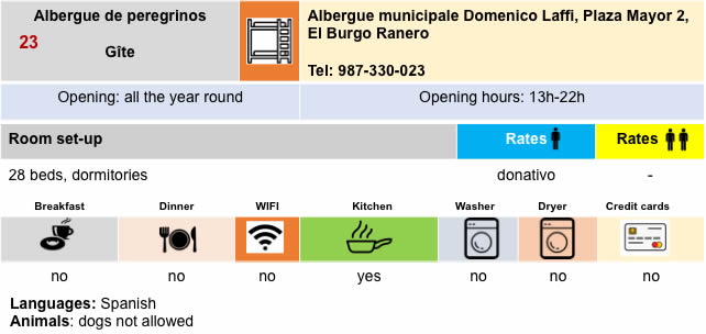
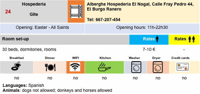
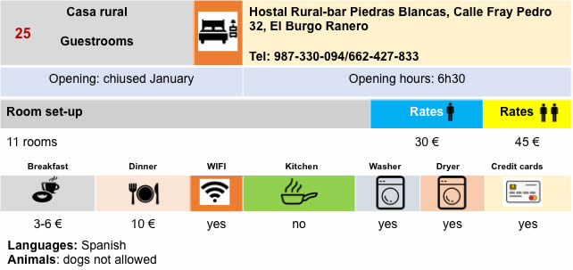
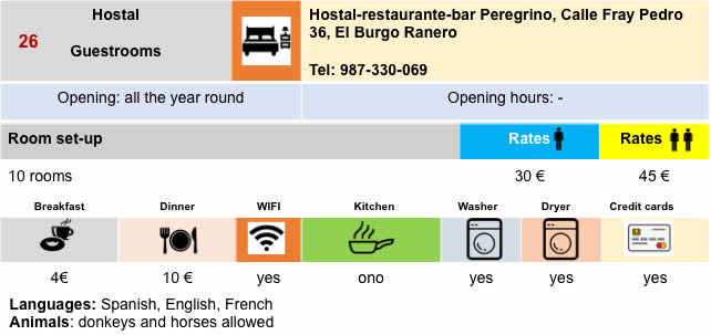
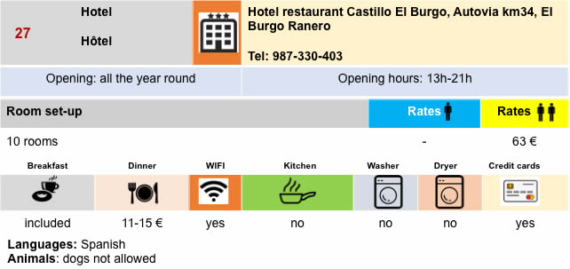
Lodging
Feel free to add comments. This is often how you move up the Google hierarchy, and how more pilgrims will have access to the site.
|
 |
Next stage : Stage 19: From El Burgo Ranero to Mansilla de La Mulas |
|
 |
Back to menu |